Last Updated: 11th Aug 2024
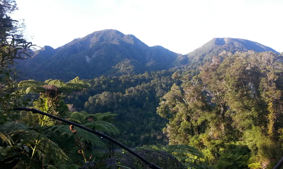
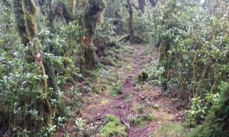
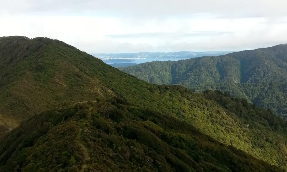
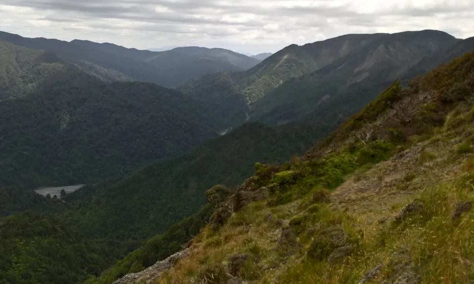
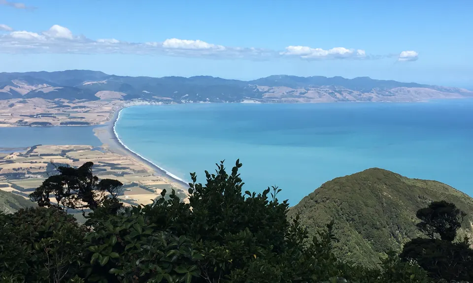
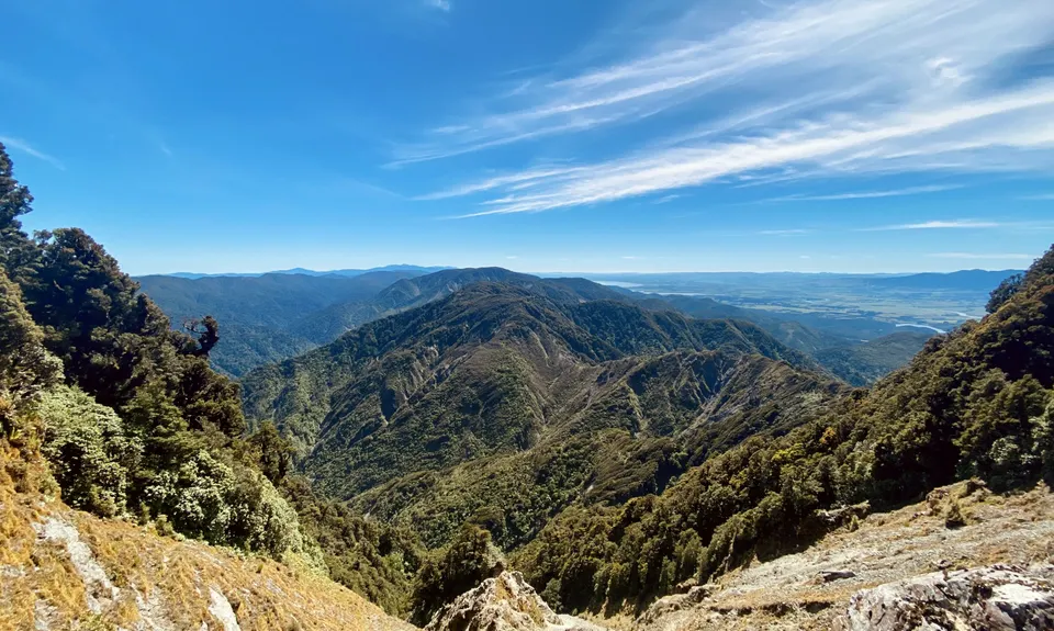
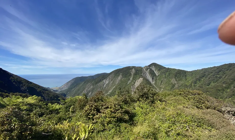
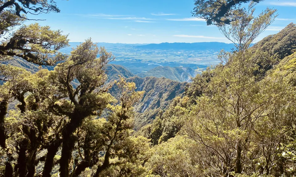
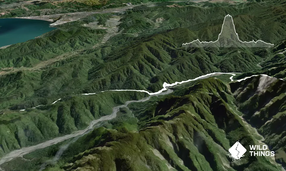
Mt Matthews
Last Updated: 11th Aug 2024
Open
Grunt Factor: 49 ?
Gnarl Factor: 63 ?
27.0km
1400m
1400m
941m


Trail Map
This Topo layer only covers NSW/ACT.
Switch to another map layer when viewing outside this area.
Switch to another map layer when viewing outside this area.


