Last Updated: 29th Nov 2025
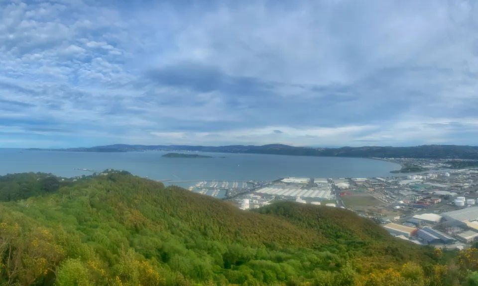
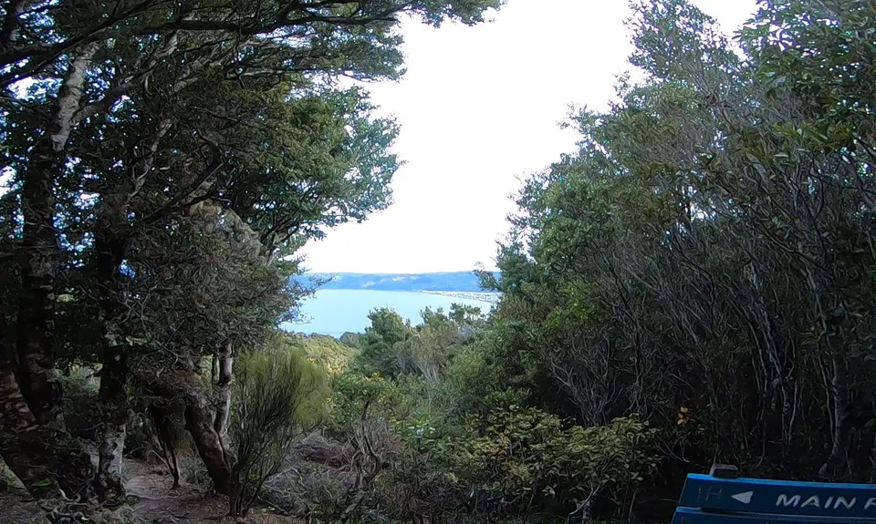
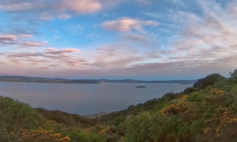
Eastbourne Ridge Loop
Last Updated: 29th Nov 2025
Open
Grunt Factor: 25 ?
Gnarl Factor: 36 ?
20.5km
725m
725m
360m


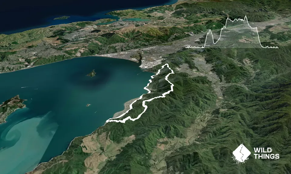
Trail Map
This Topo layer only covers NSW/ACT.
Switch to another map layer when viewing outside this area.
Switch to another map layer when viewing outside this area.