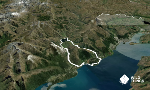
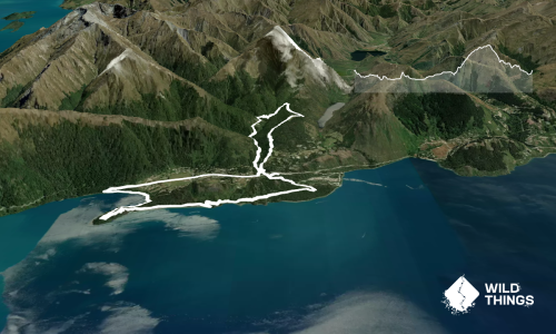
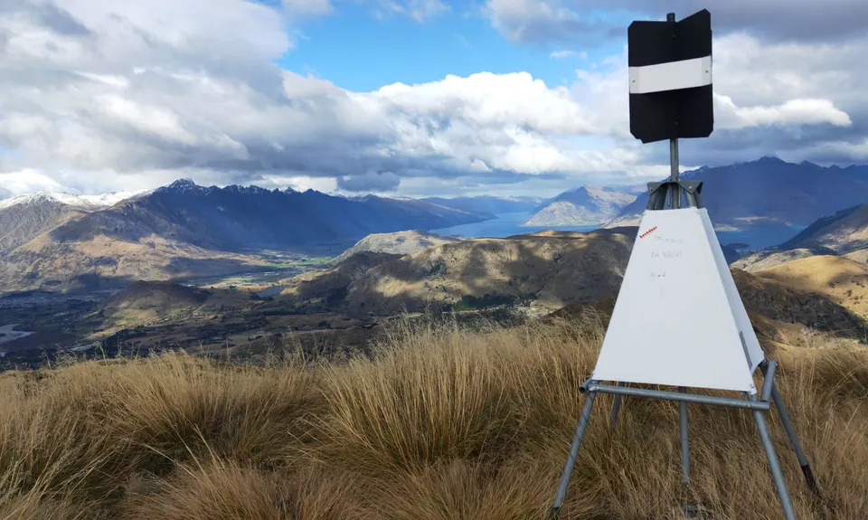
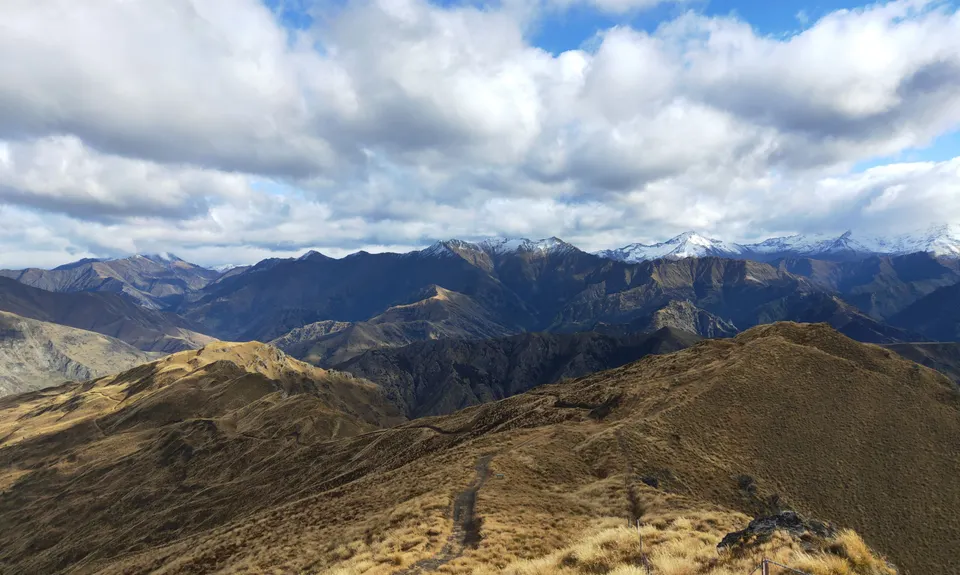
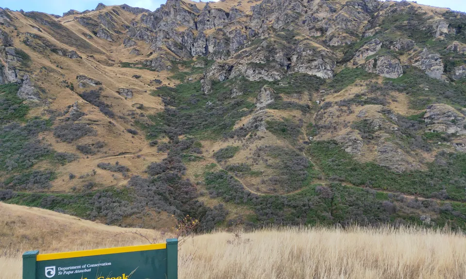
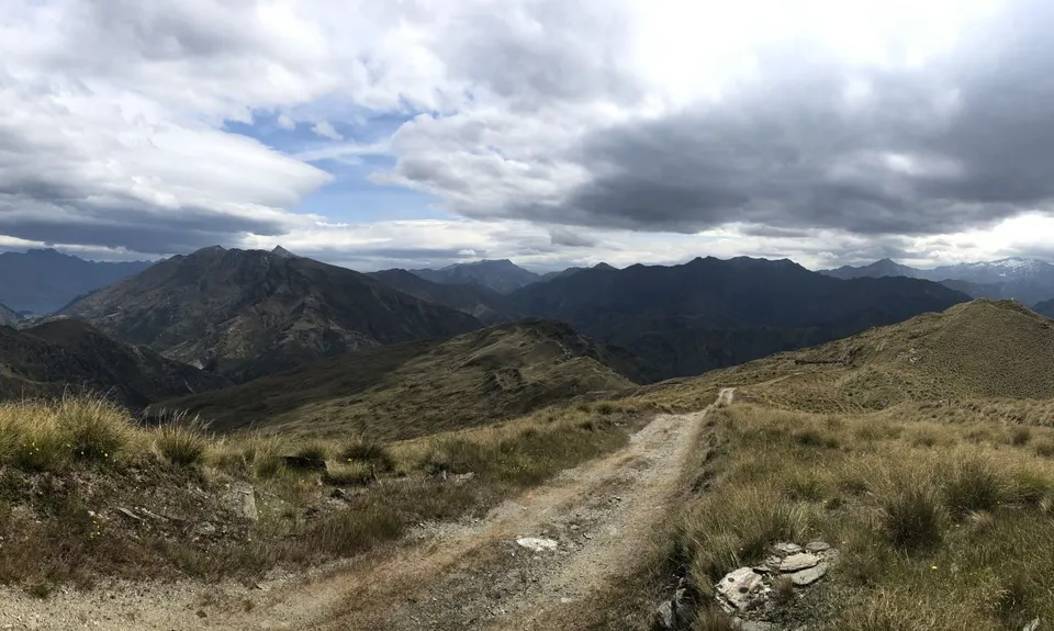
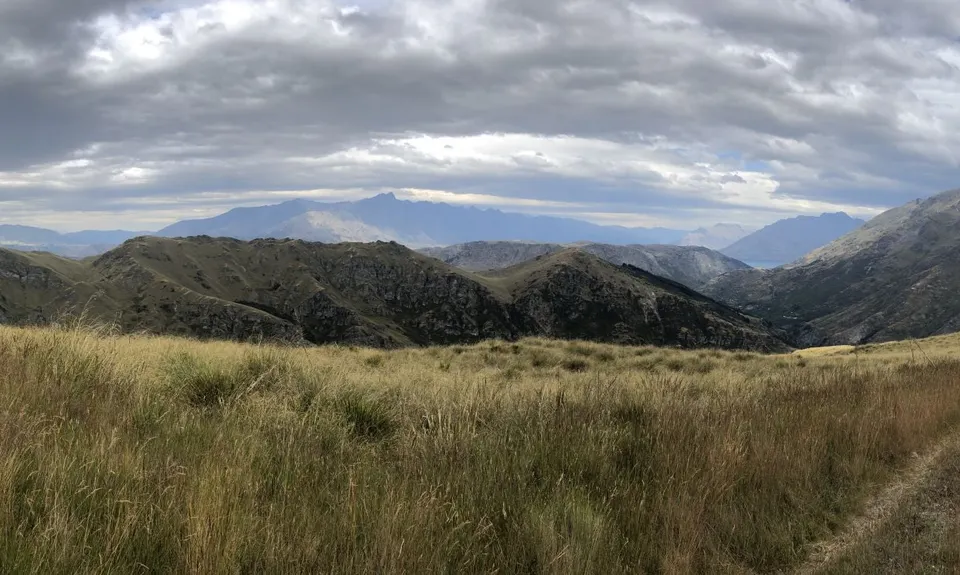
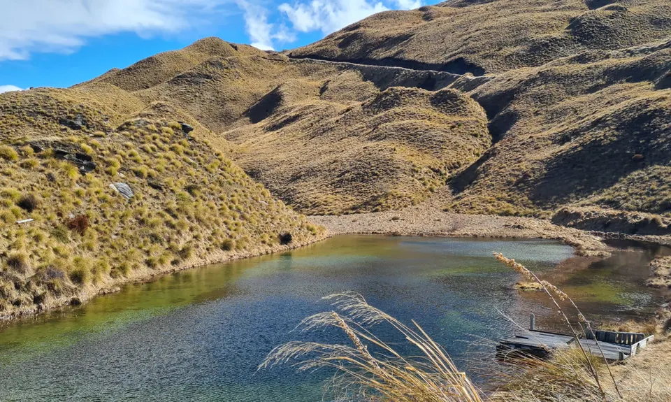
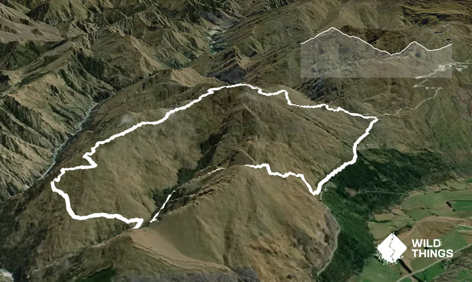
Mt Dewar Devil Creek LoopBeginner - Intermediate
Submitted by Stu Houston
Front country - easily accessible
Loop
Undulating, some big hills
Native bushOpen tussock/grasslandsOpen ridges/tops
Beginner - Intermediate
3:00 (Slow)
2:15 (Moderate)
1:30 (Fast)
-13.6%
+14.2%
Fastest Known Times (FKTs)
Please set your gender to see your position on the FKT leaderboards.
The more , the harder the FKT will be to beat. Learn about Fastest Known Times.
Description
From the park at the saddle climb up the Mt Dewar track, which is a 4x4 road , to the top. from here the track descends down the Shotover Canyon track until a DOC sign junction which you turn left (east) onto the Devils Creek Track which descends down into the Creek. Refill your water here as this is the only water, then cross the stream. The track zig zags up the east side of the creek and climbs up to a saddle, then drops down to the Coronet Peak Ski field Road. Follow the sealed road up towards the ski field (watch for cars, vans flying down the road) then left onto the gravel Skippers Road and back to Skippers saddle.
Trail Community
Features of interest
Old access to the Shotover River and old farm roads. Great views of the Wakatipu and mountains of the Shotover as well as Mt Aspiring.
Make Up of Run
Moderate Single Track: 15%
Farm Road / 4WD Track: 67%
Gravel Road: 5%
Sealed Road: 13%
Route Data
Reviews:
Photos:
Your Trail Wishlist
All the runs that are on your To Do list (no limit).
Add to wishlist view wishlistWild Explorers
I did it!-
Access
Park at Skippers Saddle just off the Coronet Ski field road.
Park in small layby on saddle or at the junction with Coronet Road - parking for about 5 cars.
13 km
17 minutes
No
No
-
Staying Safe
Moderate.
Make navigation of this route super-easy by using the Capra app on your phone. View on Capra .
The track doesn't have many markers as you are just following old farm 4x4 tracks and at times they are tricky to follow due to high grass Take a map if worried.
Generally good.
Long-sleeved thermal top, Seam-sealed waterproof jacket, Windproof jacket, Gloves, Beanie/thermal headwear, Personal Locator Beacon (PLB), First aid kit, Extra food for emergencies, Survival bag, Cellphone, Map.
The only water is in Devils Creek at half way. This is a grunty run and can be hot in summer - carry water. Devils Creek is clean - I guzzled litres of it (hot day !!) with no ill effect.
In winter can be snow covered; mid summer can be very hot...or cold. Mt Dewar is very exposed to all weathers all year - a Norwester or Southerly change up here is life changing go prepared !!!
Wind is the biggest hazard so check the forecast before departing and go prepared. Watch out for Rafting company vans and cars coming down the Coronet Peak road - they speed down this winding hill so stay way over to your right on the down hill side of the road going up so your facing the traffic coming down. Cover yourself in sun block your high up and the Otago sun burns.
-
Post run indulgence
The Boatshed Cafe
Frankton boat ramp
The best location and food in Queenstown -
Sponsor this trail
See other runs nearby:
Fernhill Loop
Ben Lomond from One Mile
Mt. Crichton Loop
The Queens Drive and Wye Dome.
Jacks Point to Queenstown Trail
Atley Track
One Mile - Gondola Scenic Route
Moonlighting to Sefferstown
Remarkables and Wye Creek
Remarkable Run
Queenstown Hill (Te Tapu-nui)
Moke Lake from Mt.Crichton
Moonlighting around Bowen Peak
Frankton to Morven Hill Return
Arawata Track
Mount Aurum - Skippers
Around Ben Lomond
The Felic Relic
The Harcombe Round
Ben Lomond via Tiki Trail
Lake Johnston Ferry Hill Loop
Loopin' Moke Lake