Last Updated: 11th Nov 2025
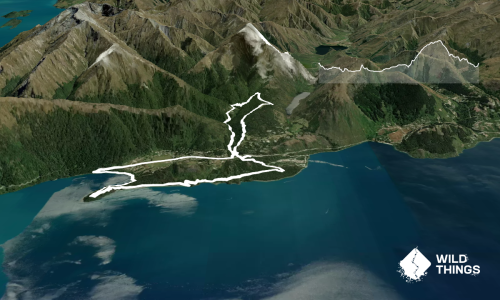
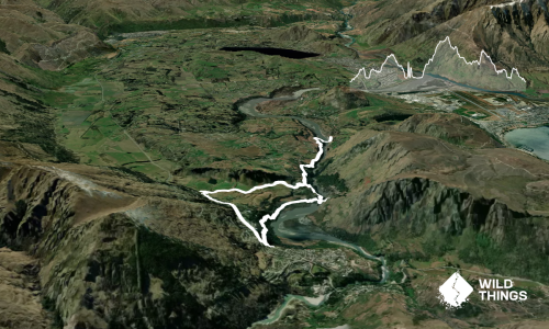
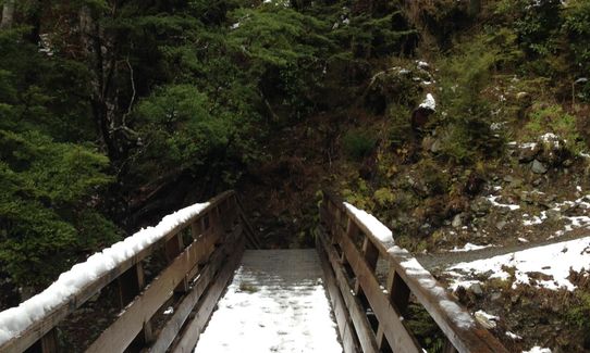
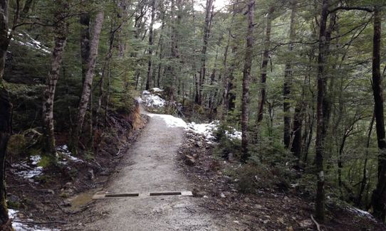
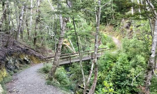
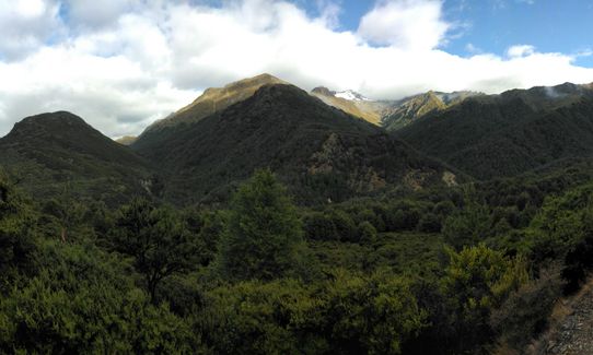
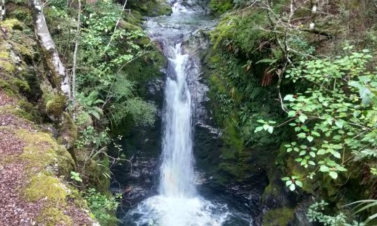
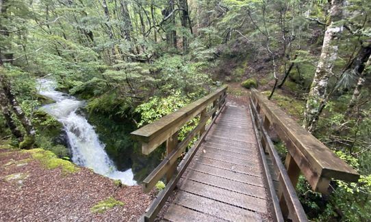
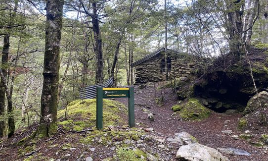
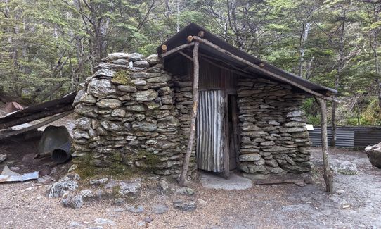
Mt. Crichton Loop
Last Updated: 11th Nov 2025
Open
Grunt Factor: 12 ?
Gnarl Factor: 42 ?
7.2km
310m
310m
622m


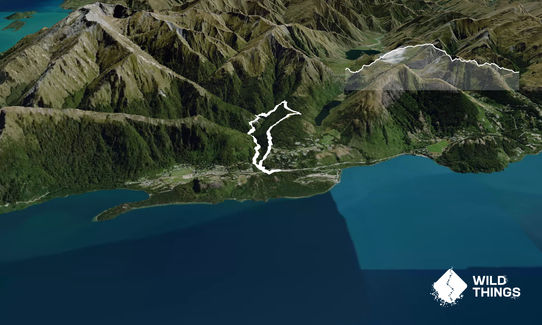
Trail Map
This Topo layer only covers NSW/ACT.
Switch to another map layer when viewing outside this area.
Switch to another map layer when viewing outside this area.