Last Updated: 13th Apr 2026
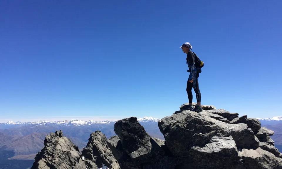
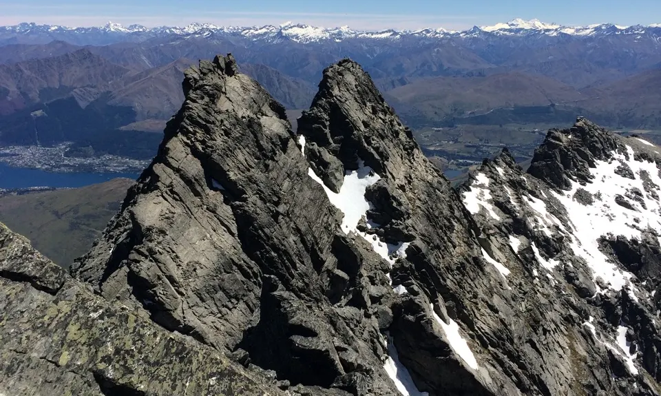
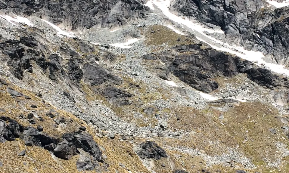
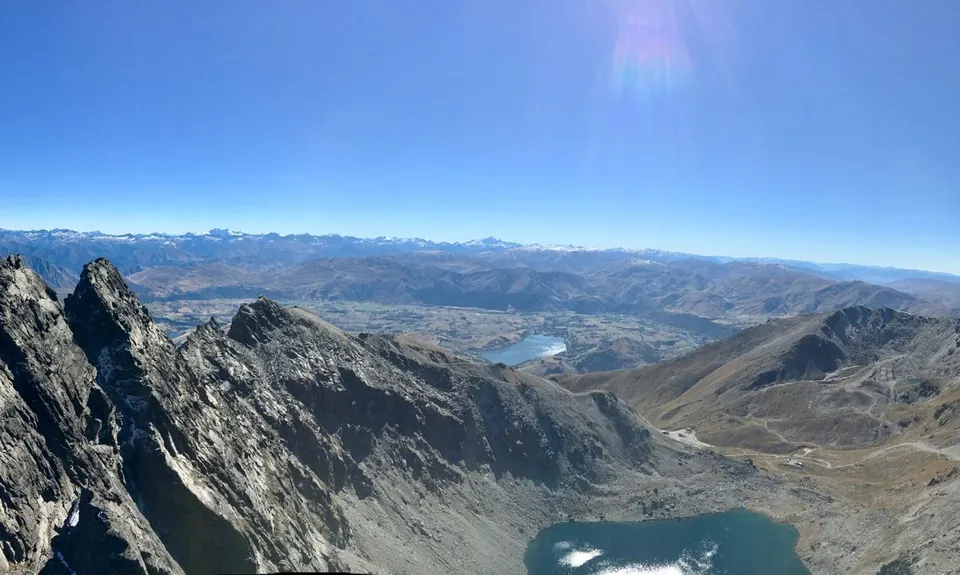
Remarkable Run
Last Updated: 13th Apr 2026
Open
Grunt Factor: 36 ?
Gnarl Factor: 78 ?
12.0km
800m
800m
2319m

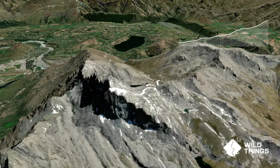
Trail Map
This Topo layer only covers NSW/ACT.
Switch to another map layer when viewing outside this area.
Switch to another map layer when viewing outside this area.


