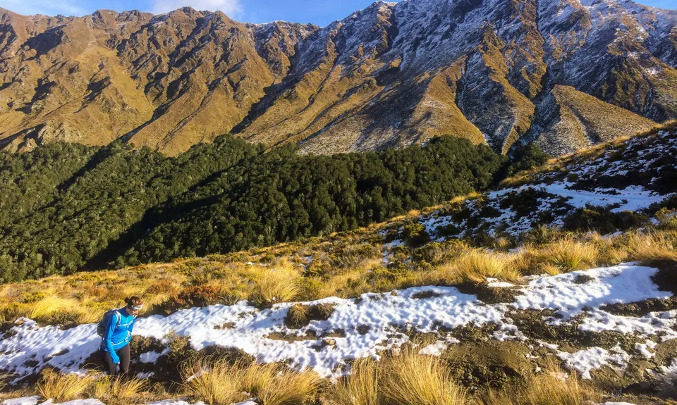
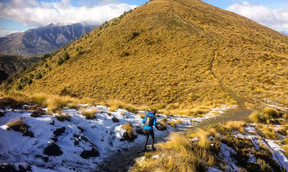
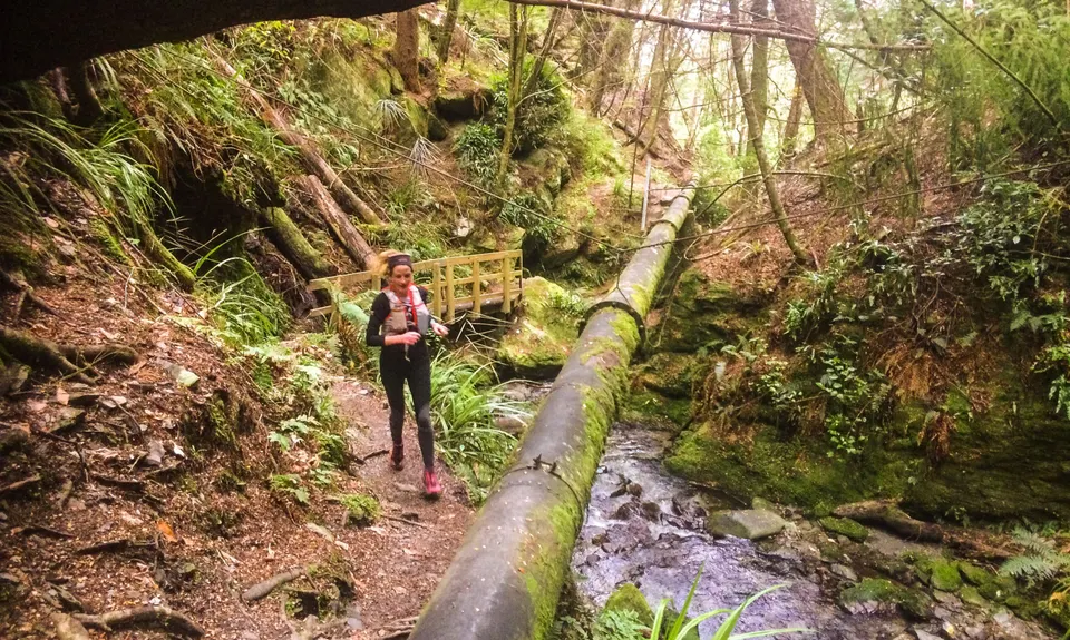
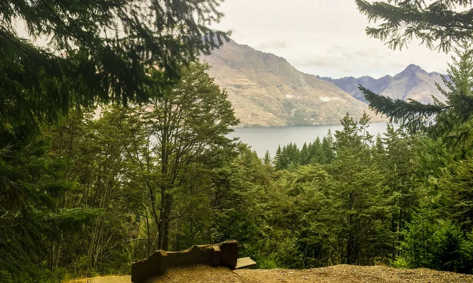
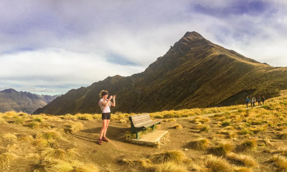
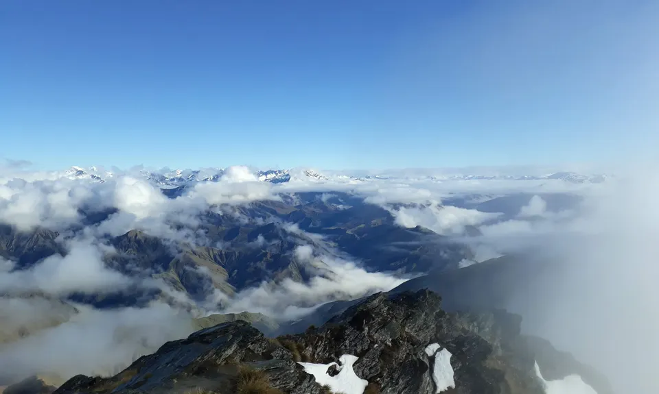
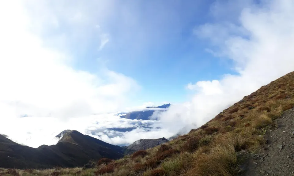
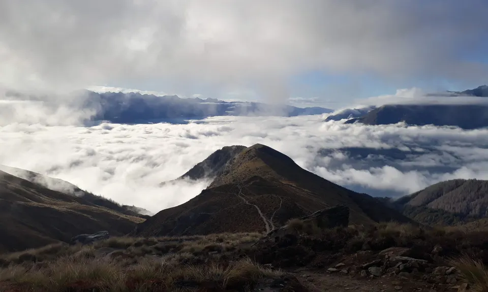
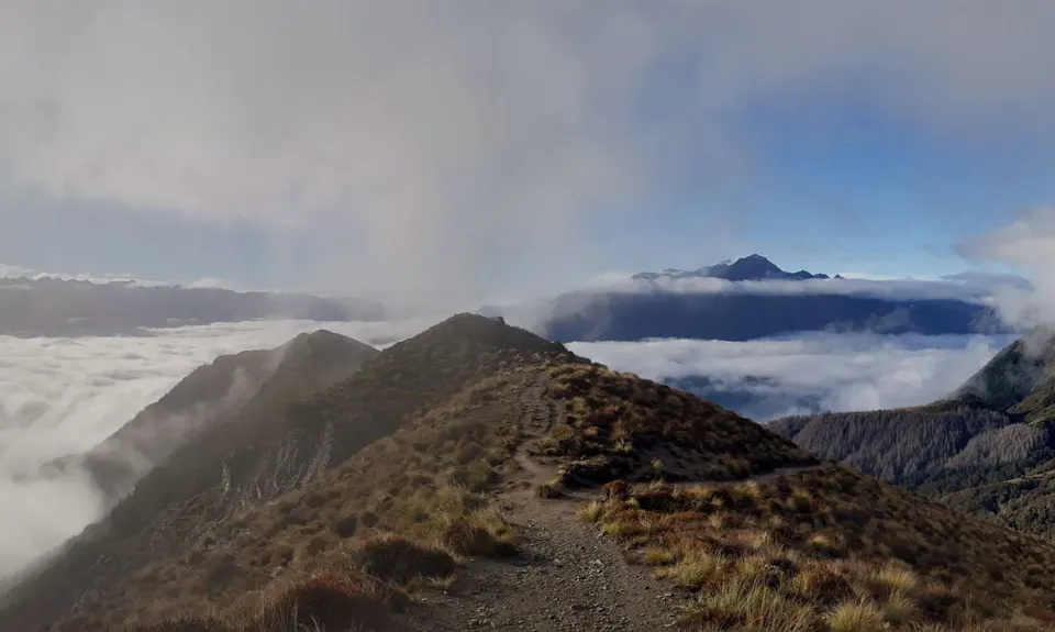
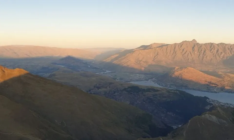
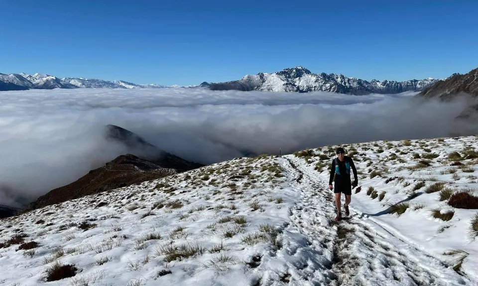
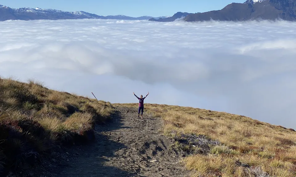
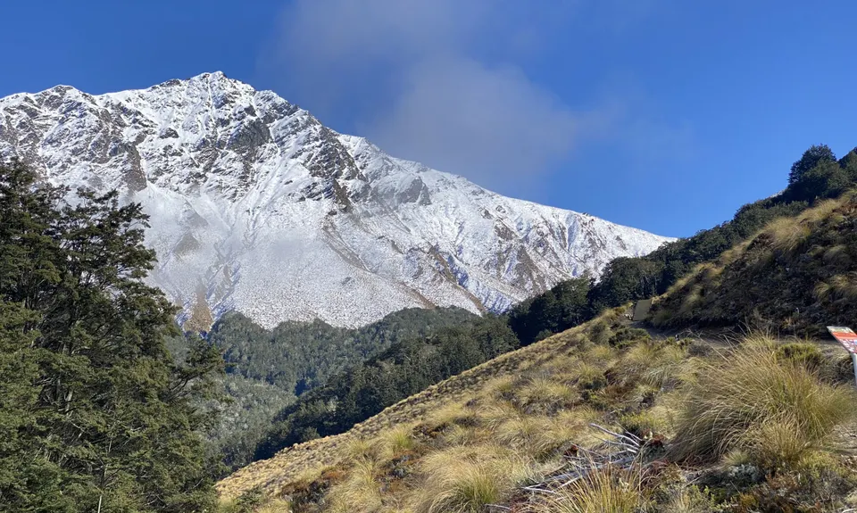
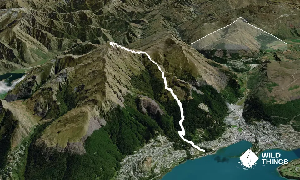
Ben Lomond from One MileBeginner - Intermediate
Submitted by James Harcombe
Front country - easily accessible
Out and Back
Mountainous
Native bushPlantation/exotic forestOpen tussock/grasslandsOpen ridges/tops
Beginner - Intermediate
3:30 (Slow)
2:45 (Moderate)
2:00 (Fast)
-20.4%
+20.3%
Sept 2020: The One Mile Creek access is open again, with track improvements that make it easier to follow!
Fastest Known Times (FKTs)
Please set your gender to see your position on the FKT leaderboards.
The more , the harder the FKT will be to beat. Learn about Fastest Known Times.
Description
From the car park, head uphill towards the restored power station. When you reach the station, head right along the obvious, sign posted, walking track. After about 5 to 10 mins, you will join a wide walking track. At this point turn left, then almost immediately right following the sign to Ben Lomond. After climbing through native bush, you will enter pine forest, then come out at the Midway Clearance (there is a water tap here, and usually plenty of MTB'S). Head for the main 4WD track and head up about 50m's, before turning off to the left along the path marked Ben Lomond. From here the route is marked, and obvious, to the top. Return is by the same route.
Trail Community
Features of interest
Track starts at the site of Queenstown's original power station (plenty of information boards!), and follows the pipeline from the original dam.
Make Up of Run
Technical Single Track: 10%
Moderate Single Track: 40%
Easy Single Track: 50%
Route Data
Reviews:
Overlapping Runs
The following trails overlap with this run to some degree. You may wish to combine them but please note that to qualify for FKTs on these runs you should record a separate Strava activity for each

Fernhill Loop
Length: 8.10km

One Mile - Gondola Scenic Route
Length: 9.30km

Moonlighting around Bowen Peak
Length: 24.00km

Ben Lomond via Tiki Trail
Length: 16.00km
Photos:
Your Trail Wishlist
All the runs that are on your To Do list (no limit).
Add to wishlist view wishlistWild Explorers
I did it!-
Access
Pump house car park off Fernhill Roundabout. Take the Nouthern exit (gravel road) from the roundabout.
Start is within walking distance of central Queenstown. Plenty of car park space at the pump house, or at the car park next to the roundabout.
2 km
5 minutes
No
No
-
Staying Safe
Moderate.
Early on in the climb, after taking the right turn off the wide footpath, the path traverses next to a pipe for a while, before coming to a junction. Be sure to turn right, as the more obvious path leads down to the creek and is more difficult to rejoin the route.
Generally good.
Waterproof leggings, Thermal leggings, Short-sleeved thermal top, Long-sleeved thermal top, Seam-sealed waterproof jacket, Gloves, Beanie/thermal headwear, Whistle, First aid kit, Extra food for emergencies, Survival blanket, Cellphone, Map, Headtorch and spare batteries, Crampons / microspikes (for winter conditions).
Plenty low down as far as the midway clearance. Non existent after this point.
Snow and ice can make the upper section extremely dangerous during the winter.
Snow and ice in the Winter!
-
Post run indulgence
Smiths Brewery
Shotover Street
http://www.smithscraftbeer.co.nz
Great selection of craft beer and the best fries in town.Vudu Cafe and Larder
Beach Street
http://www.vudu.co.nz
Great coffee and awesome pastries. -
Sponsor this trail
See other runs nearby:
Fernhill Loop
Mt. Crichton Loop
The Queens Drive and Wye Dome.
Mt Dewar Devil Creek Loop
Jacks Point to Queenstown Trail
Atley Track
One Mile - Gondola Scenic Route
Moonlighting to Sefferstown
Remarkables and Wye Creek
Remarkable Run
Queenstown Hill (Te Tapu-nui)
Moke Lake from Mt.Crichton
Moonlighting around Bowen Peak
Frankton to Morven Hill Return
Arawata Track
Mount Aurum - Skippers
Around Ben Lomond
The Felic Relic
The Harcombe Round
Ben Lomond via Tiki Trail
Lake Johnston Ferry Hill Loop
Loopin' Moke Lake