Last Updated: 3rd Jan 2024

Beginner

Save Trail Save

I've done it Done

The Felic Relic

Queenstown, Otago

Submitted by Matthew Pester

Last Updated: 3rd Jan 2024

Beginner

Save Trail Save

I've done it Done

Open

Grunt Factor: 29 ?

Gnarl Factor: 21 ?

28.0km

840m

840m

623m


Login as a VIP to see driving directions, distance and time.

Trail Map

Type of Run

Front country - easily accessible

Loop

Undulating, small hills only

Native bush

Beach

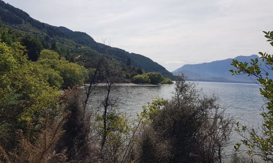
Lakeside

Open farmlands

Run Makeup

35%
10%
10%
20%
15%
10%

Sealed Road

Gravel Road

Farm Road / 4WD Track

Easy Single Track

Moderate Single Track

Technical Single Track

Average Uphill Gradient: +6.6%

Average Downhill Gradient: -6.3%

Trailhead

Login as a VIP to see the trailhead information.

Estimated Times to Run

5:00

Slow

3:45

Moderate

2:45

Fast

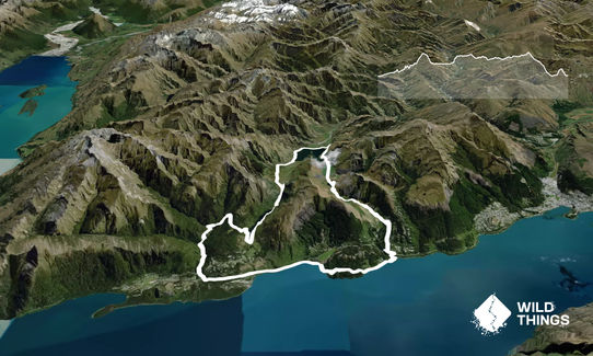
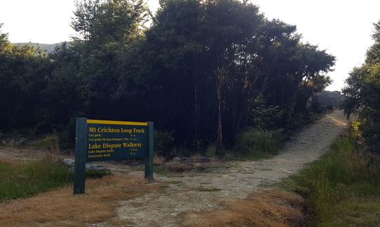
Starting at the Wilson Bay/ 7-mile car park, run along the road heading towards Glenorchy for 2.2km and turn into the car park for Mt Crichton.

Run the Mt Crichton track past Sam Sommers Hut all the way to the junction along the top at around the 7-8km mark. Here you have the option to carry on along the Mt Crichton loop or go left towards Lake Dispute. GO LEFT to Lake Dispute. Follow the track all the way down past the reeds in the lake and over the wooden foot bridge, then cattle grid. About 150m after that you will get to a junction. HANG A LEFT towards Moke Lake (there is a DoC sign).

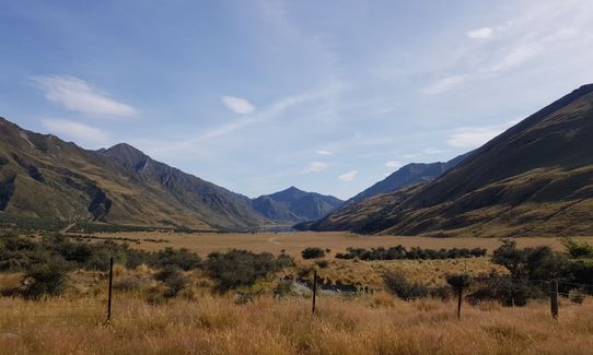
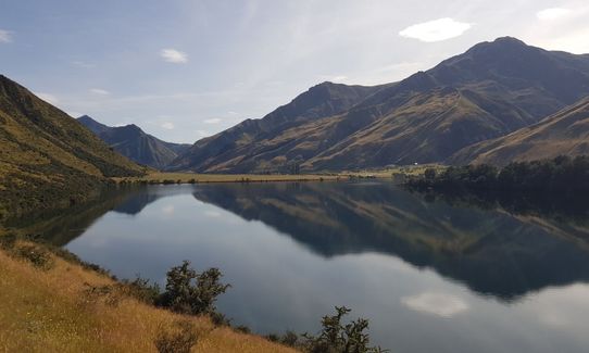
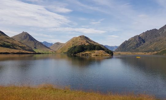
Follow this track up over the saddle and on to towards Moke Lake. At the 14km point you will come to the bottom of Moke Lake. GO LEFT around the outside of Moke Lake until you get to the campground. There are toilets here on your right after the foot bridge. From here you follow the gravel road all the way past Lake Kirkpatrick. When it changes to sealed road, keep following this past Anderson Heights, to the Glenorchy road.

Cross the road and 50m on your right is the upper 7-mile car park. TAKE NOTE: from here on you will need to follow the directions carefully. At the lake end of the car park you will see a bike trail sign under the only tree saying "B.o.B" - follow this down to until you get to a junction. GO LEFT and follow this all the way until you get to the top of the steep section. Here you will see a bike trail on your right, and ahead left. KEEP GOING STRAIGHT to "Eagles Nest". Follow the "Doc Track" back to the car park at Wilson Bay/ 7-mile. It is easy to get lost so keep following the track labelled arrow signs. For a bit more fun you can run down the uphill bike track called "Whats Up" until you get down to the lake front. From there go right back to the car park. Voila!
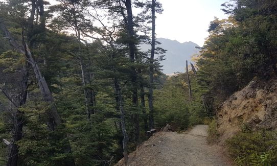
3 Lakes! Lake Dispute, Moke Lake, and Lake Kirkpatrick.

If you know of any public toilets near the trail start or on the route, please login and then let us know so we can update this section.

Heaps of parking at the car park. Also toilets.

9 km

13 minutes

Unknown

No

Moderate.

Follow the directions in the course description

Patchy.

Seam-sealed waterproof jacket, Gloves, Beanie/thermal headwear, Whistle, First aid kit, Extra food for emergencies, Cellphone, Map

At the start (Wilson Bay car park), and at the Moke Lake camp ground

Can be windy from Dispute Saddle to Moke Lake

Red Rock
48 Camp Street, Queenstown Central 9300
N/A
Great beer

You and The Felic Relic

As a VIP member you can record private notes for this trail, see all of your times and more.

Register Now

Already have an account? Login now

Trail Reviews

My local leg stretcher. Bit of distance, up, down, and room to pick up the pace!

Matthew Pester

March 9, 2020

Login to submit a review

Trail Running Community

Find people who are interested in or have completed this trail run.

You must register or login to view this feature.

Register Now

Overlapping Trails

These overlap with this trail to some degree. You may wish to combine them but please note that to qualify for FKTs on these runs you should record a separate activity for each.

Moke Lake from Mt.Crichton

Moke Lake from Mt.Crichton

Length: 27.5km

Level: Beginner - Intermediate

Other trails nearby
Moonlighting to Sefferstown

Moonlighting to Sefferstown

Length: 11.5km

Level: Beginner

Arthur's Point to Sunshine Bay

Arthur's Point to Sunshine Bay

Length: 18.3km

Level: Intermediate - Experienced

One Mile - Gondola Scenic Route

One Mile - Gondola Scenic Route

Length: 9.3km

Level: Beginner - Intermediate

Mount Aurum - Skippers

Mount Aurum - Skippers

Length: 34.0km

Level: Very Experienced

Find more trails and peaks nearby