Last Updated: 17th Apr 2026
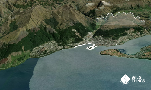
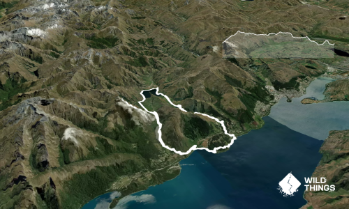
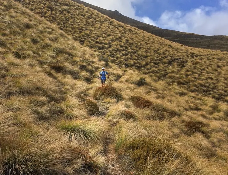
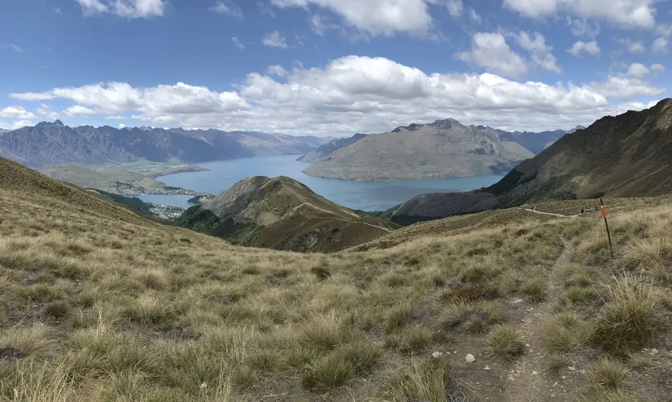
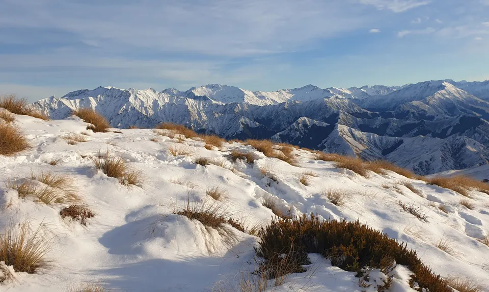
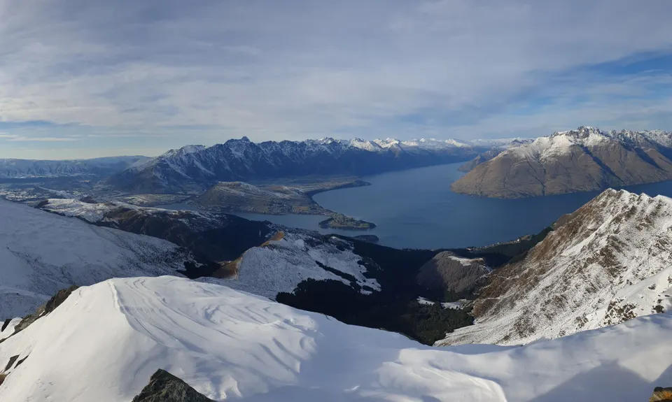
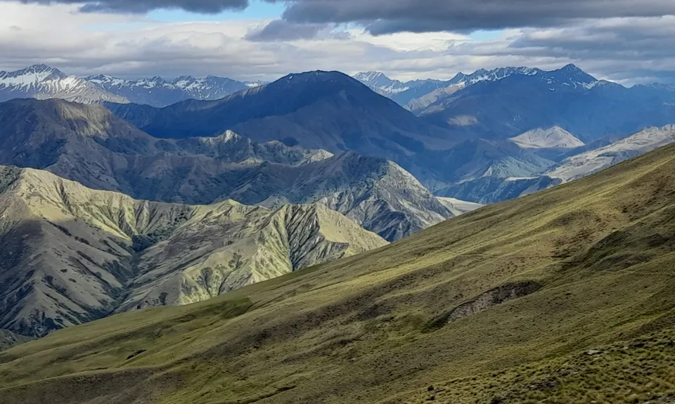
Moonlighting around Bowen Peak
Last Updated: 17th Apr 2026
Open
Grunt Factor: 40 ?
Gnarl Factor: 54 ?
24.0km
1243m
1243m
1312m


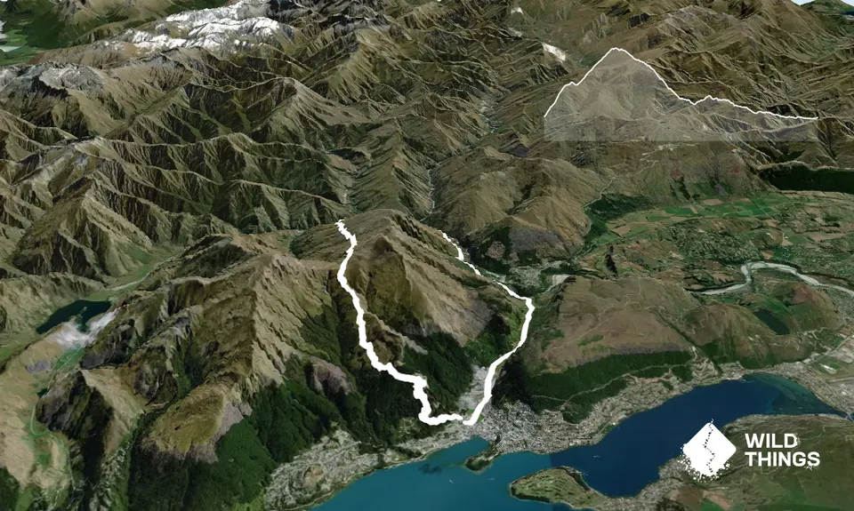
Trail Map
This Topo layer only covers NSW/ACT.
Switch to another map layer when viewing outside this area.
Switch to another map layer when viewing outside this area.