Last Updated: 4th Feb 2026
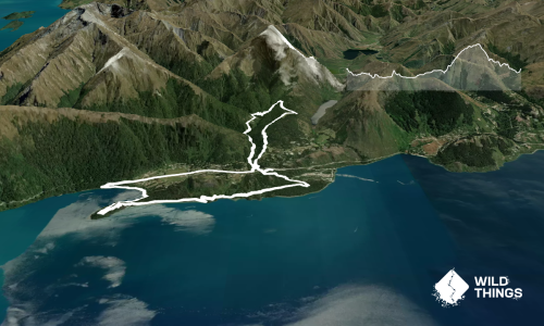
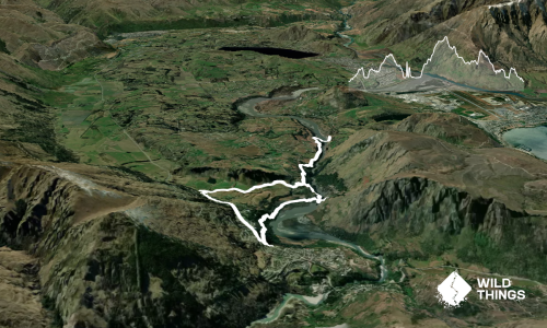
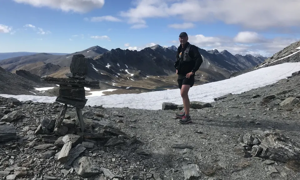
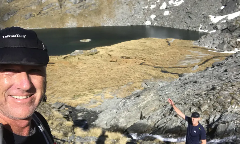
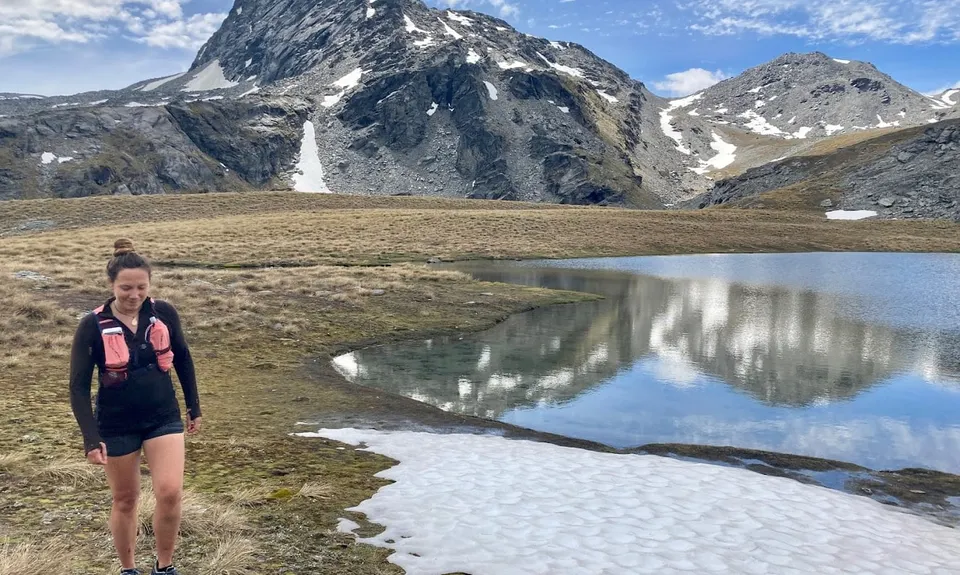
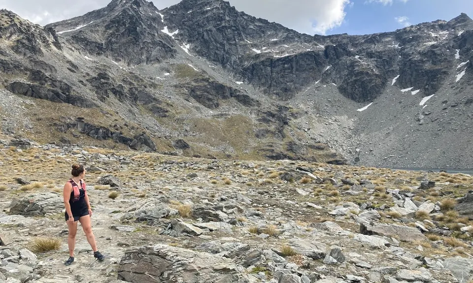
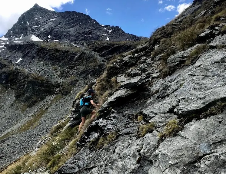
Remarkables and Wye Creek
Last Updated: 4th Feb 2026
Open
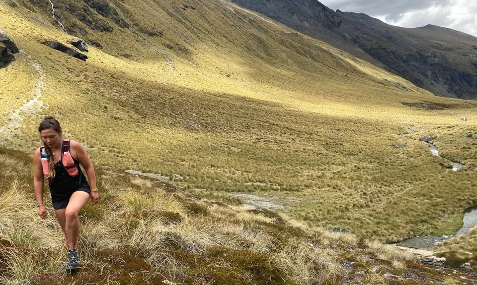
Grunt Factor: 40 ?
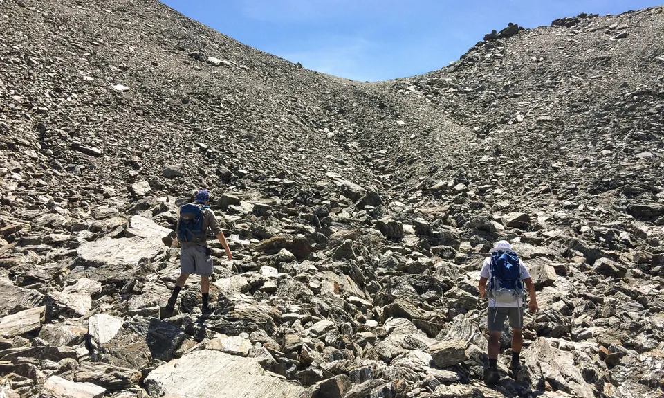
Gnarl Factor: 91 ?
16.8km
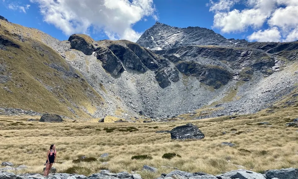
590m
1650m
1975m
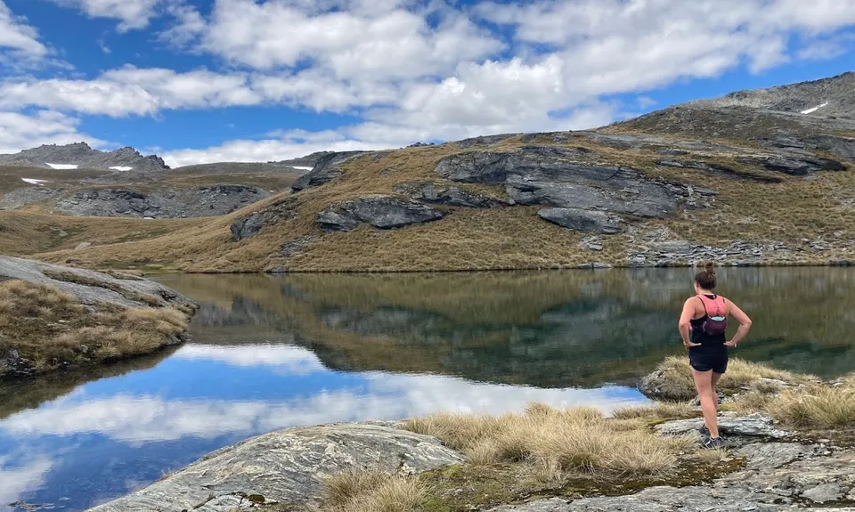
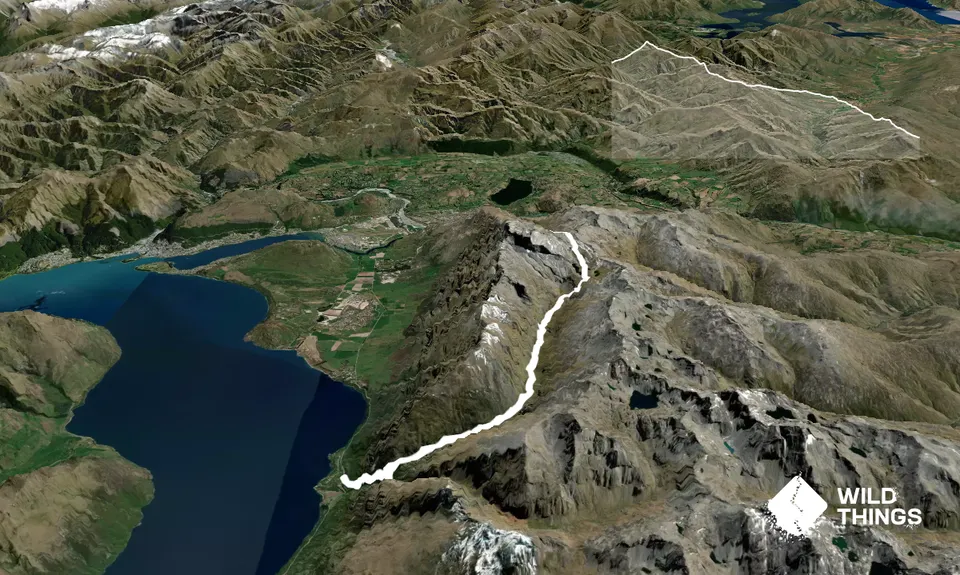
Trail Map
This Topo layer only covers NSW/ACT.
Switch to another map layer when viewing outside this area.
Switch to another map layer when viewing outside this area.