Last Updated: 4th Dec 2025
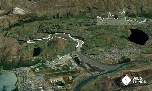
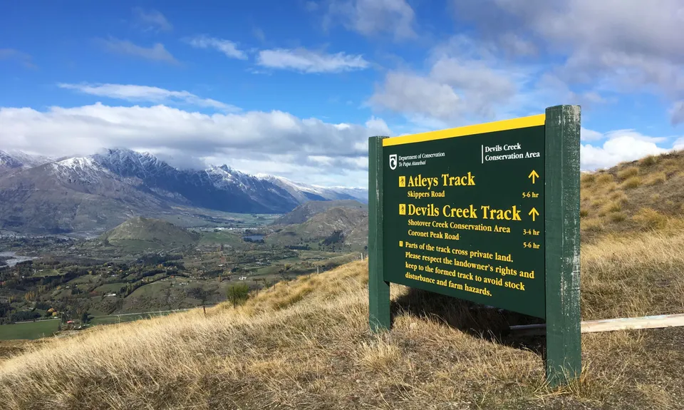
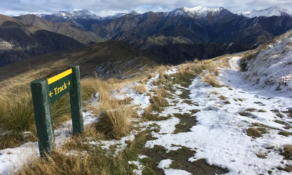
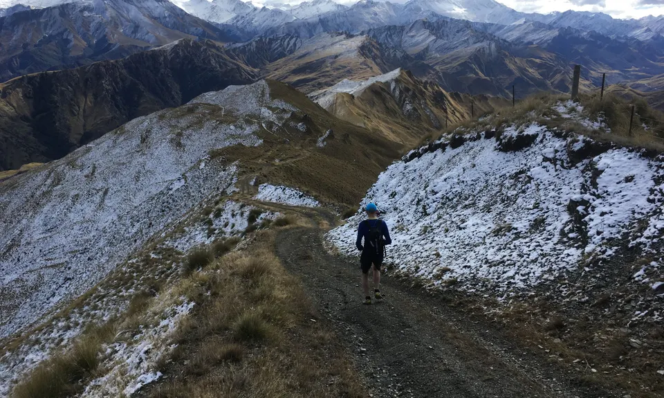
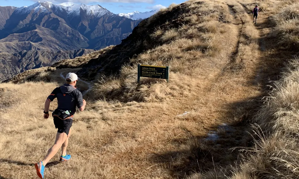
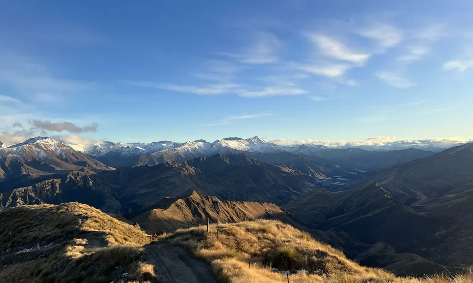
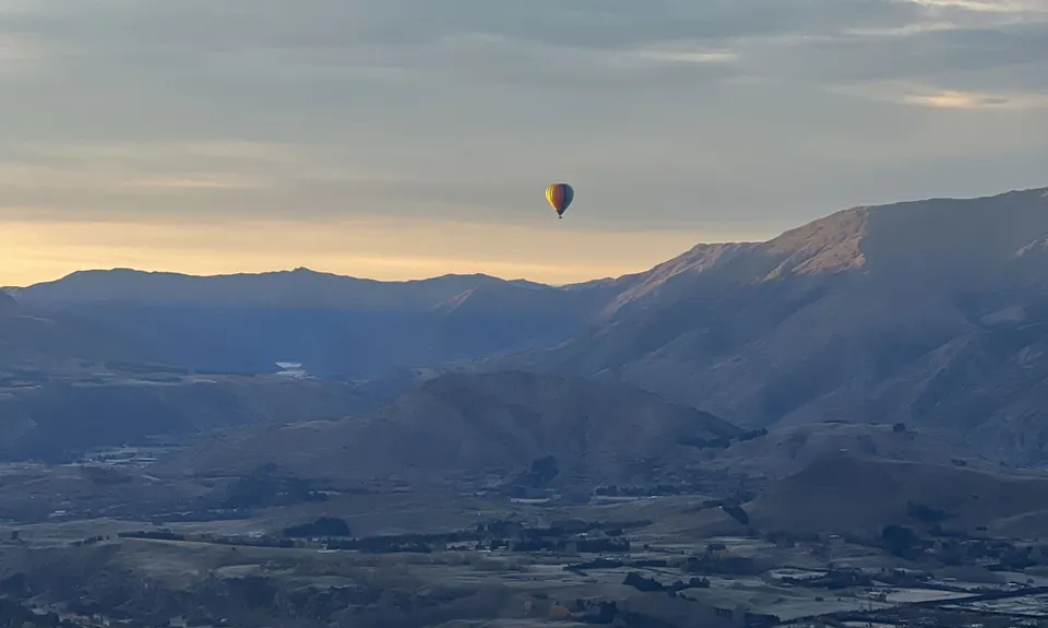
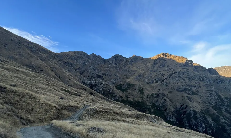
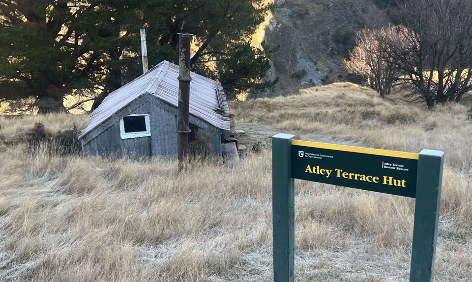
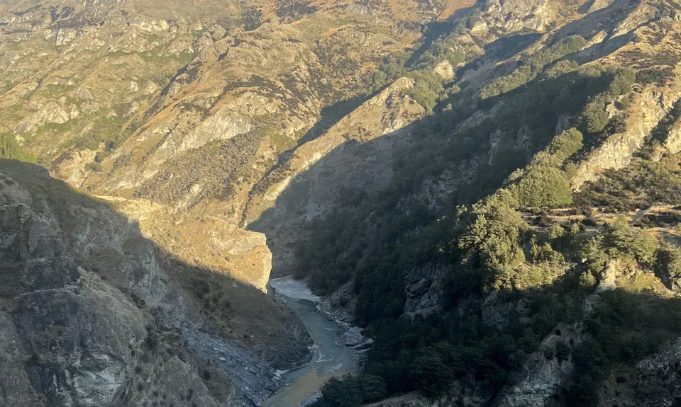
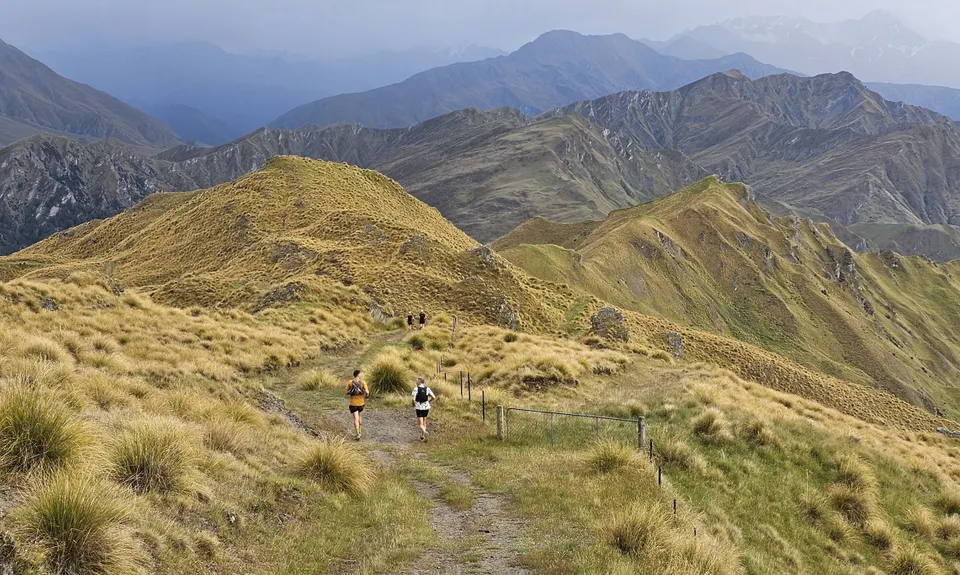
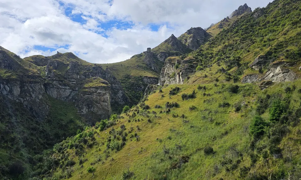
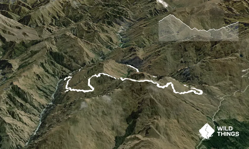
Atley Track
Last Updated: 4th Dec 2025
Open
Grunt Factor: 29 ?
Gnarl Factor: 30 ?
18.2km
1200m
1200m
1282m
Trail Map
This Topo layer only covers NSW/ACT.
Switch to another map layer when viewing outside this area.
Switch to another map layer when viewing outside this area.