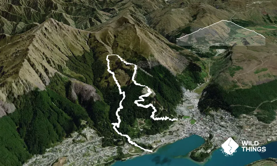
From the car park, cross the road, and head up the gravel track to the north of the roundabout. Continue up to the pump house, then follow the track to the right. Cross the mountain bike track, and continue on until you emerge onto a wide gravel track. Turn left here, then almost immediately right along the track signed 'One Mile Track'.
After about 200m there's a junction where you will need to bear left (right will take you back to Thompson Street). Another 200m brings you to another junction next to a large boulder. Turn right up the hill to join a steep set of stairs. At the top of these, veer to the left and follow the red triangular markers up to the Dam. You will pass beside the old pipework for the hydro station. At the Dam, turn right, following the sign to the Skyline.
This track will eventually bring you to a large clearing that's normally full of mountain bikers! Join the 4WD track for about 100m's, then head left up the track marked 'Ben Lomond Walkway'. This will take you out of the pine forest, through some tussock country, back into a small stand of beech trees then back into tussock. After about 4km from the start you will come to a col (which has a mountain bike track named 'Missing Link' leading off from it).
At this col, turn right and follow the obvious track. This will eventually bring you to the take off point for the parapantes. Cross the take off area, descend the 4WD track for about 50m, then turn right. Follow the white markers with a red symbol and this will take you down to the luge and Skyline. Look for the helicopter landing pad to the right of the building, and from here join the 4WD road downhill. At the 4th hairpin, there is a sign for the Tiki Trail. Follow this well marked track to the base of the gondola.
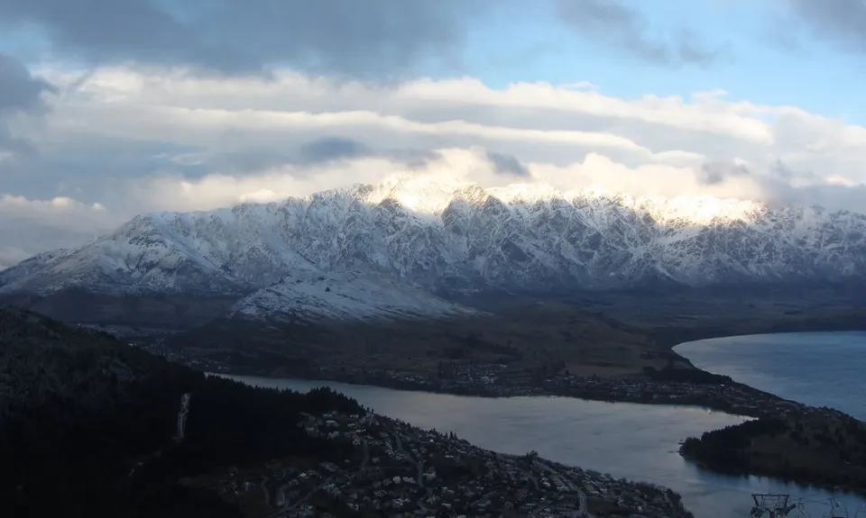
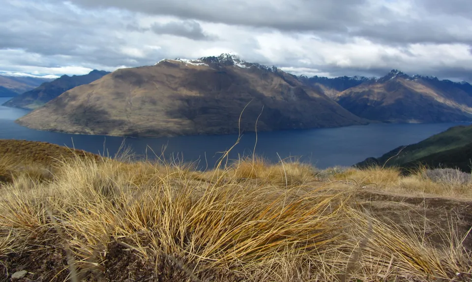
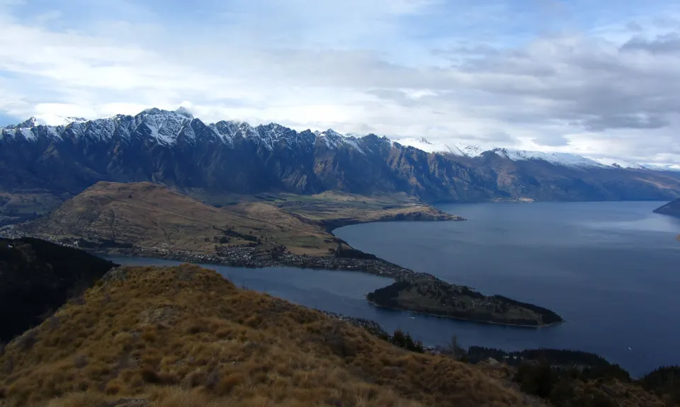
The route passes the original hydro electric power station for Queenstown, as well as the dam that provided the water. At the highest point keas are often seen, and also native falcons.
If you know of any public toilets near the trail start or on the route, please login and then let us know so we can update this section.
Free car parking at One Mile. It's often full! Alternatively, park at the pump house car park, which is at the end of the gravel road that heads off to the North of the roundabout. If you are staying in town, the car park is a gentle 1km warm up run from the centre!
2 km
5 minutes
Yes
No
Moderate.
There are several points along the One Mile Track where it's possible to end up on goat tracks to nowhere! Pay attention to the red triangles. The main junctions are pointed out in the route description.
There is a tap at the Midway Clearance (where all the mountain bikers congregate!). It's only on in the summer months. Water and food are available at the Skyline.
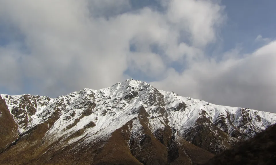
The track above treeline is often under snow during the winter. The descent from the high point is steep and treacherous under snow and ice, and is really muddy and slippery in the spring thaw! Care is required in these conditions!
The hazards are covered in the seasonality issues above. Additionally, the track crosses several downhill mountain bike tracks - take care crossing them!
Bespoke Kitchen
Just down the road from the Skyline Base! http://www.bespokekitchen.co.nz
Great selection of pastries and good coffee - just a short walk from the finish, and a locals favourite.
Smiths Craft Brewery
Shotover Street http://www.smithscraftbeer.co.nz
Best selection of craft beers in town! The loaded fries are a favourite with all the top trail runners in town (except the vegetarians!).
These overlap with this trail to some degree. You may wish to combine them but please note that to qualify for FKTs on these runs you should record a separate activity for each.
We don't store or share your location; it's only used for these features. You can continue without it, just without distance sorting and live map features.
Send to your phone
Scan the below QR code to open this trail on your phone.
Tip: position the QR code in your phone camera screen.