Last Updated: 27th Dec 2024
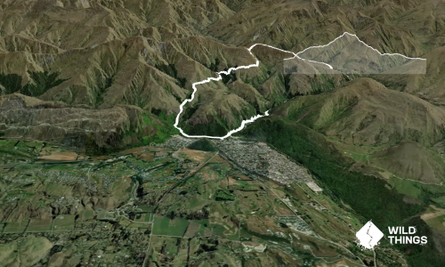
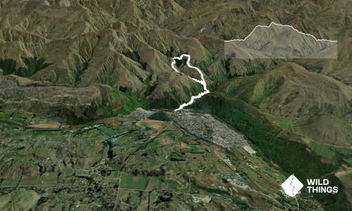
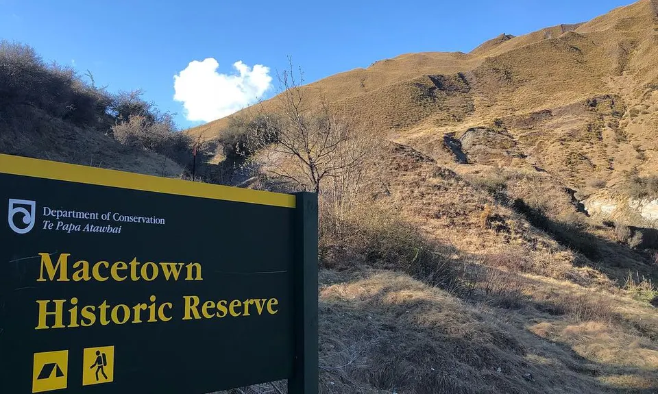
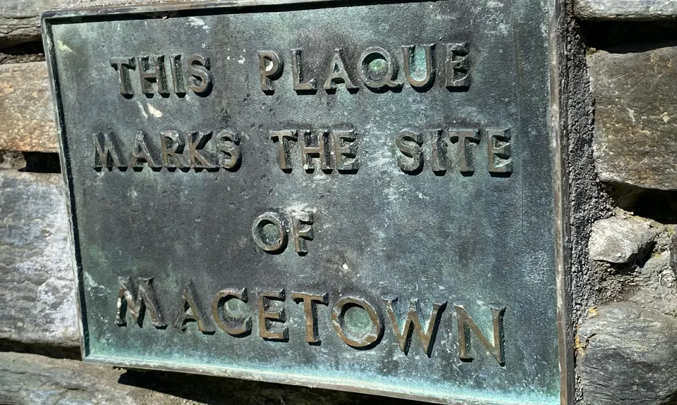
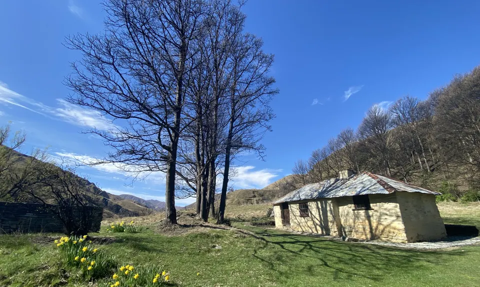
Macetown
Last Updated: 27th Dec 2024
Open
Grunt Factor: 26 ?
Gnarl Factor: 14 ?
27.5km
540m
540m
669m
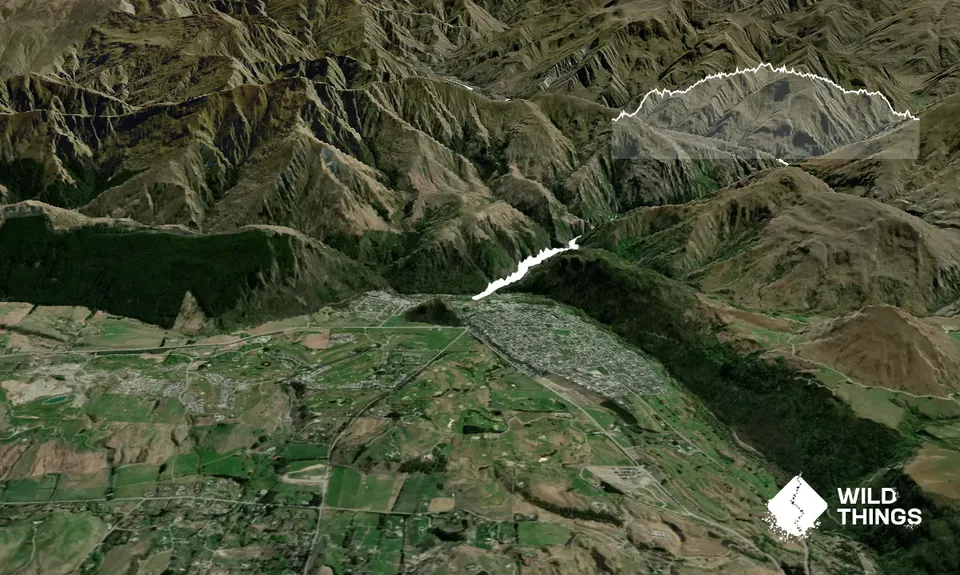
Trail Map
This Topo layer only covers NSW/ACT.
Switch to another map layer when viewing outside this area.
Switch to another map layer when viewing outside this area.