Last Updated: 29th Dec 2025
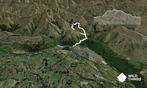
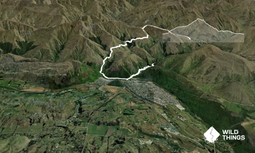
Big Hill Circuit
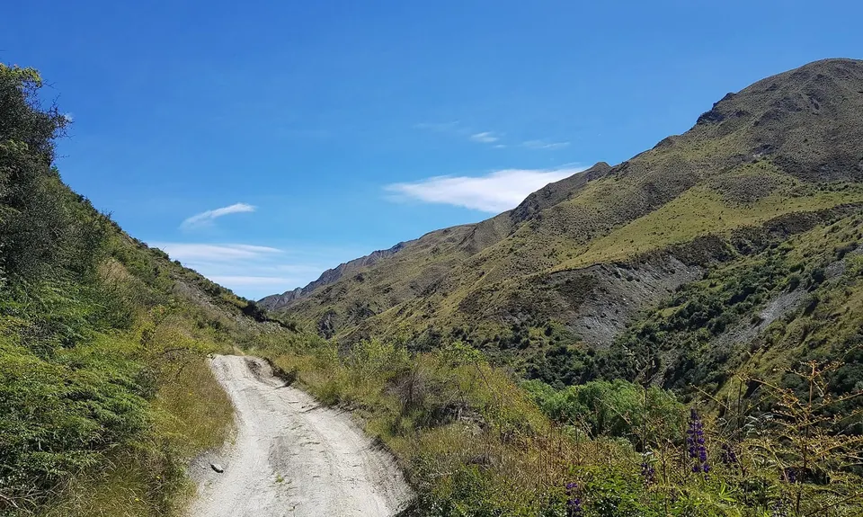
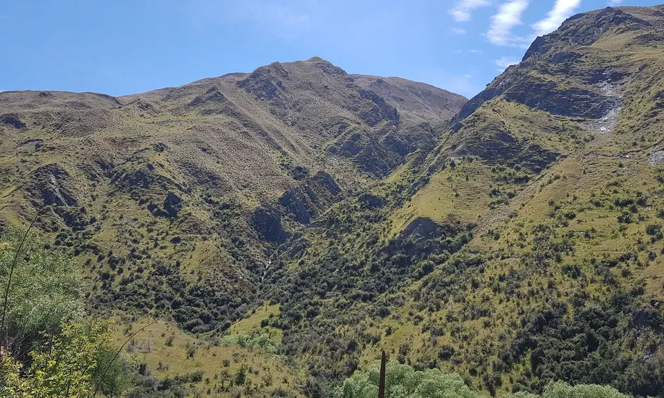
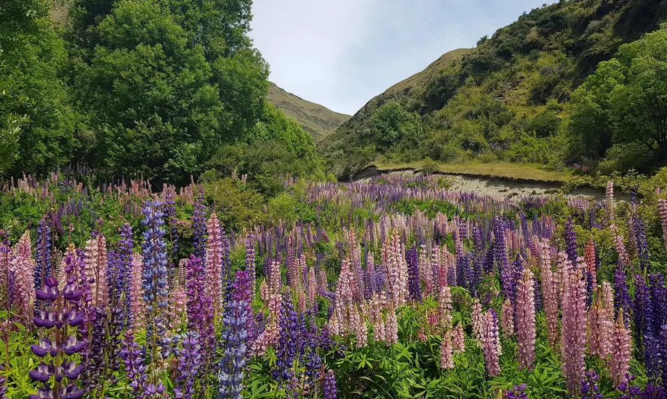
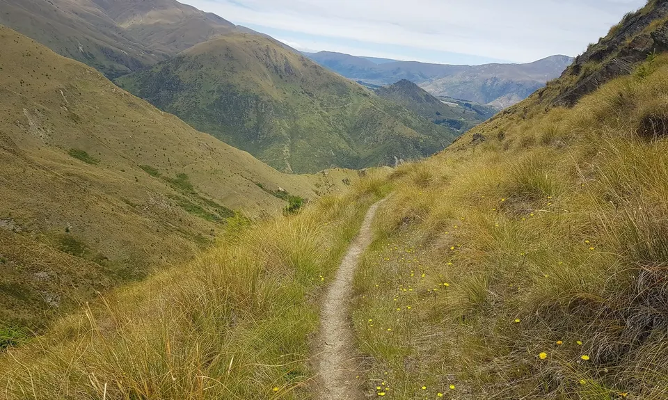
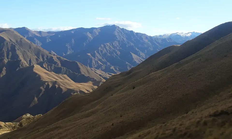
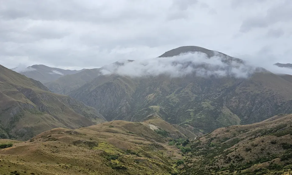
Big Hill Arrowtown
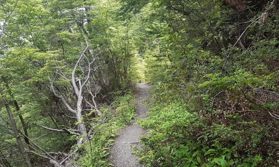
Big Hill Walkway, Arrow River Trail, Bush Creek Trail, Big Hill Trail, Sawpit Gully Trail
Last Updated: 29th Dec 2025
Open
Grunt Factor: 29 ?
Gnarl Factor: 29 ?
20.7km
960m
960m
1058m


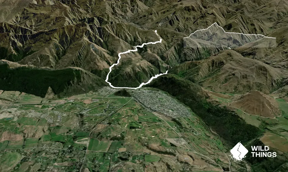
Trail Map
This Topo layer only covers NSW/ACT.
Switch to another map layer when viewing outside this area.
Switch to another map layer when viewing outside this area.