Last Updated: 21st Feb 2025
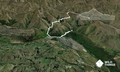
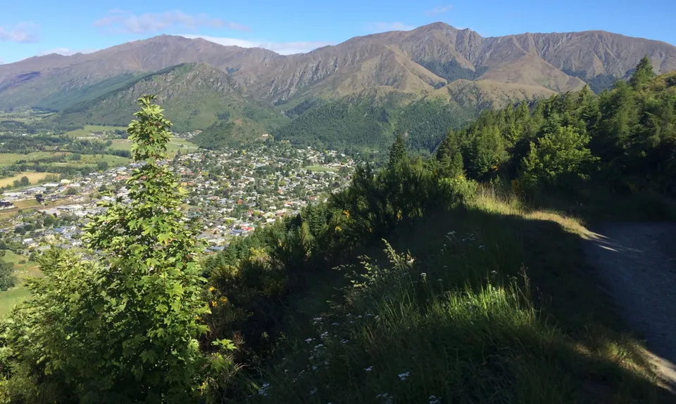
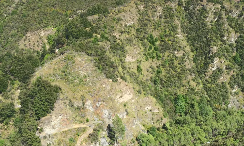
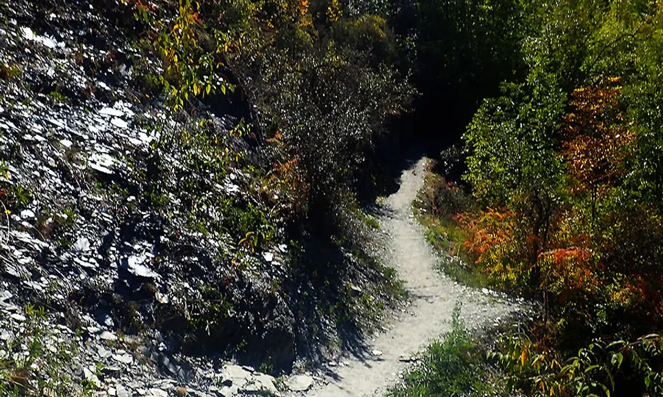
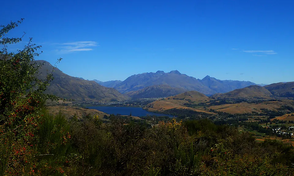
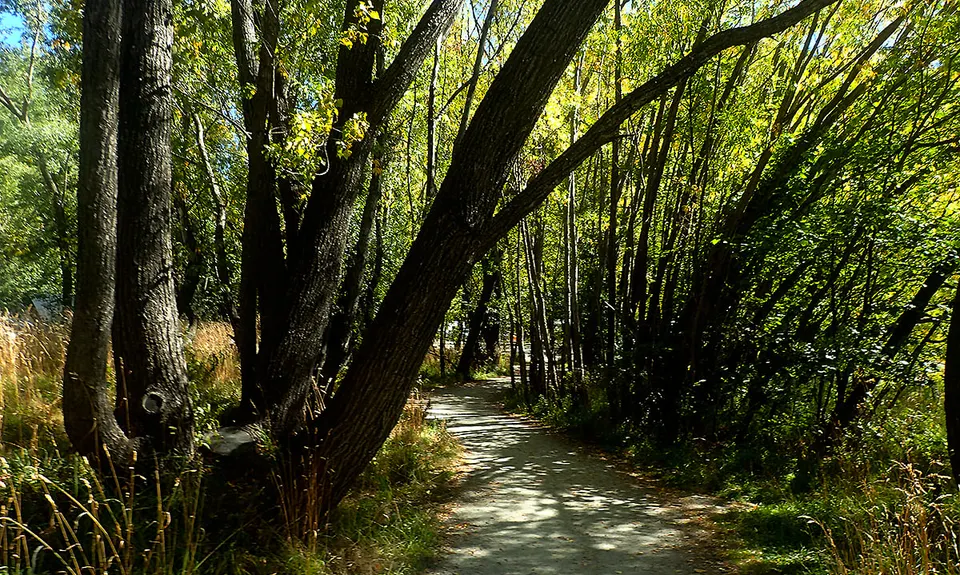
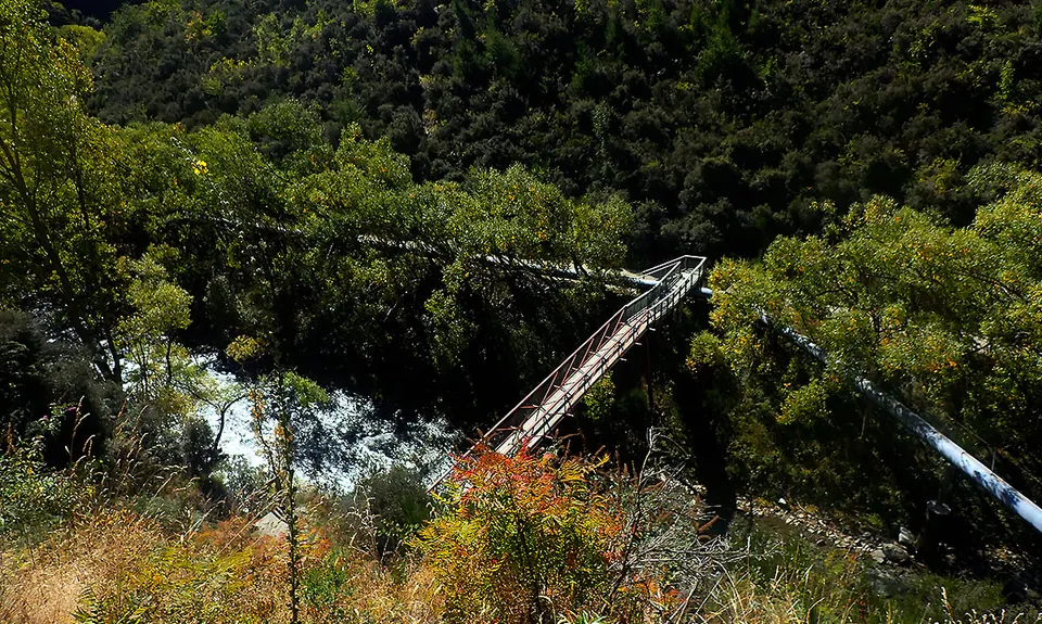
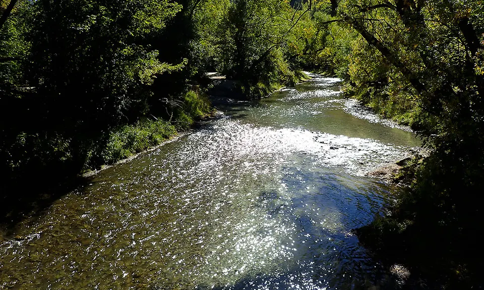
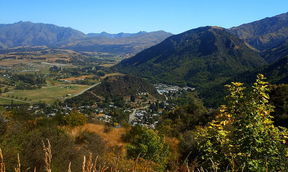
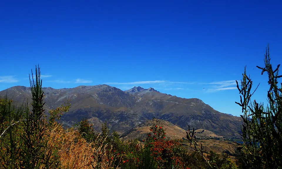
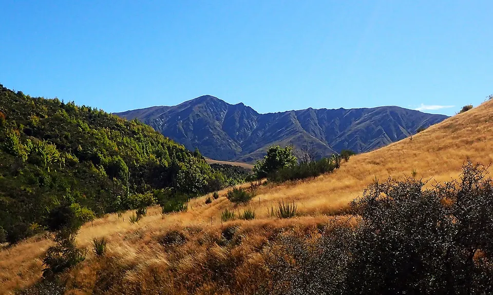
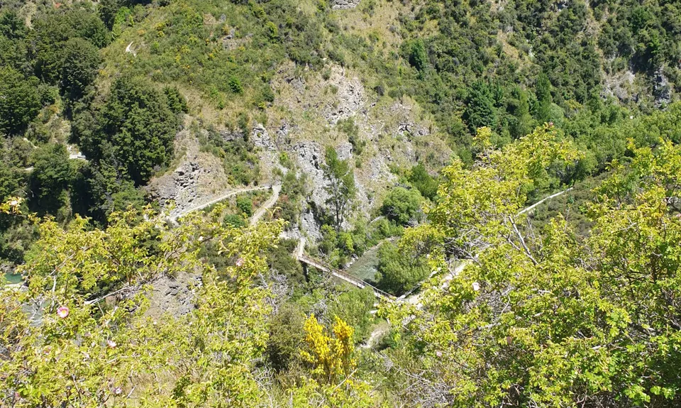
New Chums Loop
Last Updated: 21st Feb 2025
Open
Grunt Factor: 12 ?
Gnarl Factor: 26 ?
7.4km
330m
330m
660m

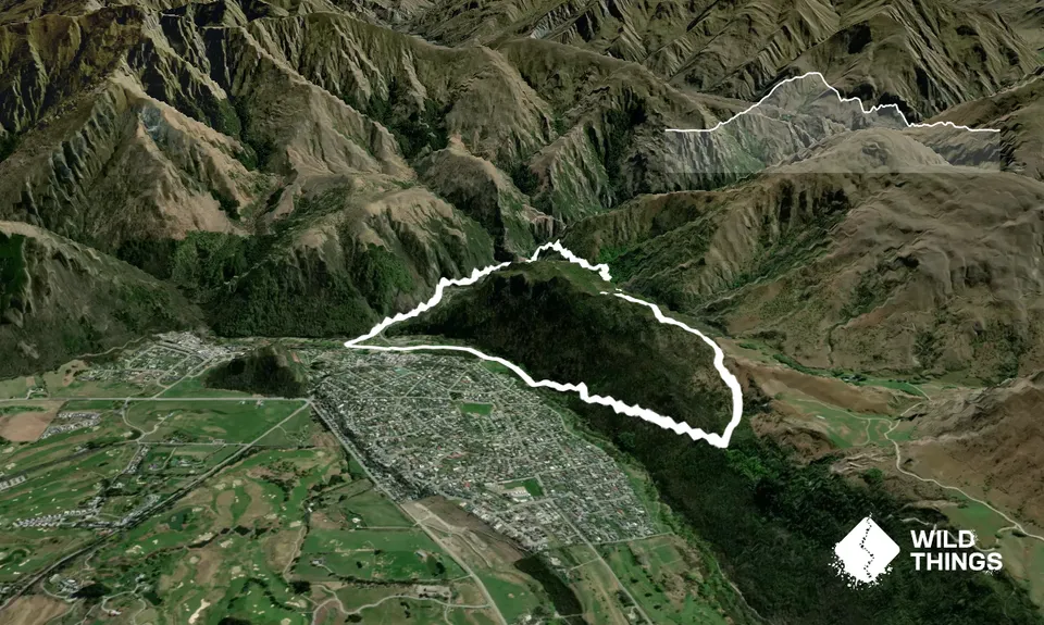
Trail Map
This Topo layer only covers NSW/ACT.
Switch to another map layer when viewing outside this area.
Switch to another map layer when viewing outside this area.