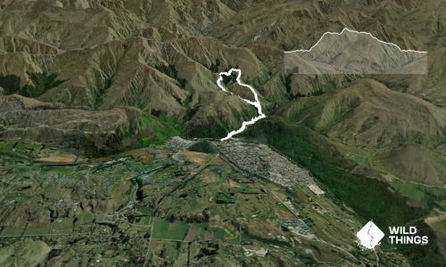
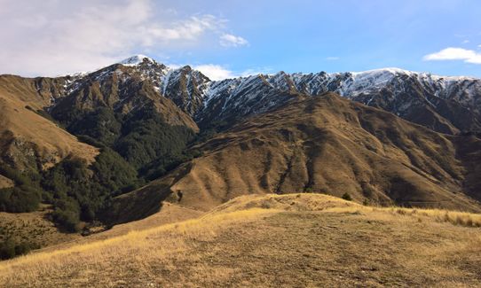
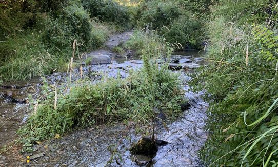
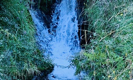
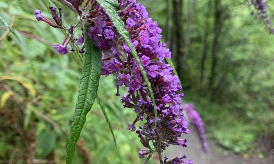
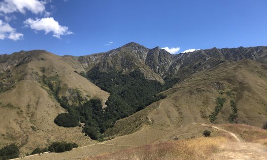
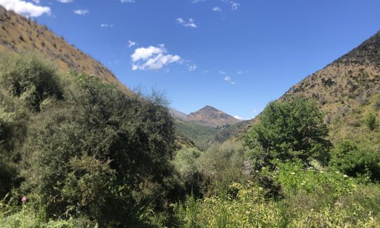
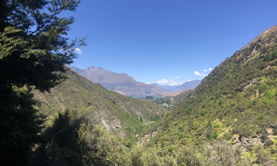
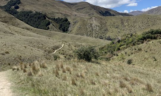
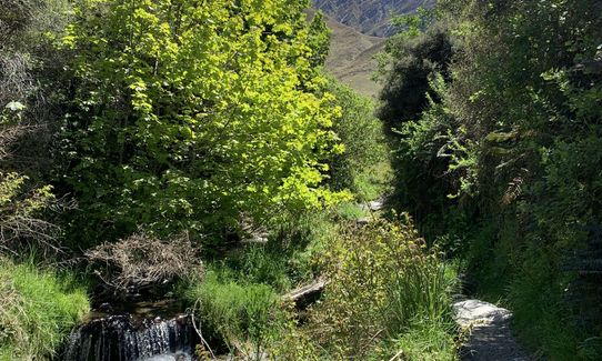
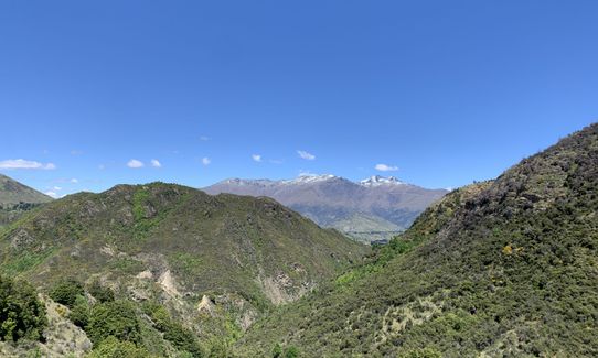
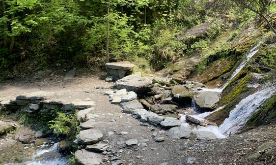
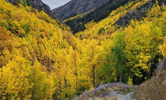
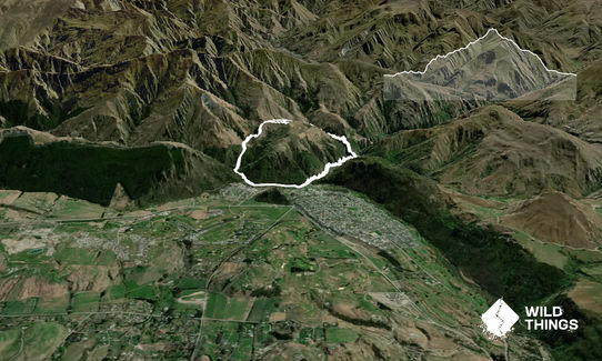
Sawpit Gully - German HillBeginner - Intermediate
Submitted by Malcolm Law
Front country - easily accessible
Loop
Undulating, some big hills
Native bushRiversideOpen tussock/grasslands
Beginner - Intermediate
1:30 (Slow)
1:00 (Moderate)
0:45 (Fast)
-12.6%
+14.1%
Fastest Known Times (FKTs)
For a valid FKT you will need to do the short out and back to the summit of German Hill.
Please set your gender to see your position on the FKT leaderboards.
The more , the harder the FKT will be to beat. Learn about Fastest Known Times.
Description
Start behind the Chinese Miners Settlement and cross the small wooden bridge across the Arrow River, veering right to pick up the marked Sawpit Gully Trail as it follows the old pipeline upstream.
After 1.5k keep a sharp lookout for a hairpin left turn next to a big rock that takes you steeply uphill into Sawpit Gully. Last time I was there the signpost was missing. If you end up dropping towards the red bridge across the Arrow you've gone too far!
The track becomes a bit rougher as you head up hill, but nothing too technical. It crosses the stream in several places but in normal flows this can be done on stepping stones without getting wet feet.
3km into the run the track crosses the stream one last time at a point marked by two yellow poles. Very shortly after that is another yellow pole where you'll need to bear left. The trail then climbs steadily to a broad saddle at about 3.9k. To your left is the unmarked trail that heads up to the summit of German Hill, a rounded summit with no marker as such but which gives brilliant views down to Lake Hayes, across to the Cardrona Range and up to Brow Peak.
After soaking in the views follow the same trail downhill to rejoin the main trail and turn left. Not far along is a marked junction where you'll head straight on in to a small clump of beech forest.
Follow the trail downhill to a small wooden bridge and continue downstream to pick up a 4WD track that takes you the last 600 metres back to where you started.
Trail Community
Features of interest
The area is rich in gold-mining history and is outstandingly scenic yet accessible.
Make Up of Run
Moderate Single Track: 25%
Easy Single Track: 65%
Farm Road / 4WD Track: 10%
Route Data
Reviews:
Overlapping Runs
The following trails overlap with this run to some degree. You may wish to combine them but please note that to qualify for FKTs on these runs you should record a separate Strava activity for each
Photos:
Your Trail Wishlist
All the runs that are on your To Do list (no limit).
Add to wishlist view wishlistWild Explorers
I did it!-
Access
Arrowtown Chinese Settlement, off Villiers St. at the bottom of town next to the river
Plenty of parking here or just next door along the river bank at another large (free) public car park. It can get pretty full in peak season though. I've never had any security issues but keep in-car valuables out of sight just in case
0 km
1 minutes
No
No
-
Staying Safe
Easy.
Make navigation of this route super-easy by using the Capra app on your phone. View on Capra .
Keep a sharp eye out for the junction at 1.5k, otherwise it's all pretty straightforward.
Patchy.
Long-sleeved thermal top, Seam-sealed waterproof jacket, Gloves, Beanie/thermal headwear, Whistle, First aid kit, Extra food for emergencies, Cellphone, Map, Crampons / microspikes (for winter conditions).
Carry water with you as there is stock in the area and the stream water could be contaminated.
In winter some parts of the trail doesn't see much sun and can get very icy. If tackling in winter conditions then take micro-spikes.
At all times of year it has the potential to be cold so take extra layers.
-
Post run indulgence
Provisions
Centennial Ave, Arrowtown
Great food, nice garden setting for a sunny dayThe Fork & Tap
51 Buckingham Street, Arrowtown
http://www.theforkandtap.co.nz
Good food, good craft beer selection, nice outside areaZuzu's Gelato
25 Buckingham Street
Great gelato! -
Sponsor this trail
See other runs nearby:
Big Hill Circuit
Mt Rosa Loop
Queenstown Trail Anticlockwise
Macetown
Bush Creek Banger and The Steiger!
New Chums Loop
Miners Trail
Brow Peak Mini Mission
Crown Peak Traverse
Lake Hayes Circuit
Beat Beetham
Coal Crown Arrowtown
Glenroy Water Race Track
Arrowtown Gold
Mt Sale via Crown Peak and Mt Scott
Advance Peak (via Big Hill inbound and Macetown Road outbound)
Coronet Loop
The Not WILD 50 Mile Course
The Not WILD 20 Mile Course
All The New Chums
Brow Peak and Big Hill
Mt Soho Marathon
Cardrona to Arrowtown
Hilly Delight
Fast and Flat in Arrowtown
Crown Peak and Mt Sale
The Beast of Beetham