Last Updated: 5th Jan 2025
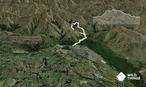
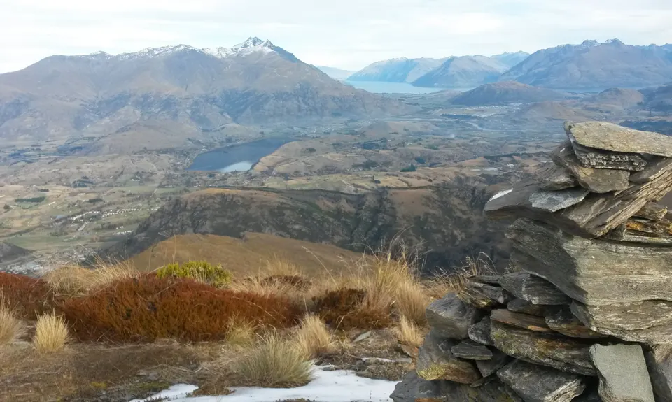
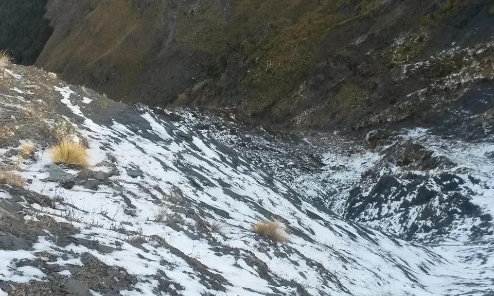
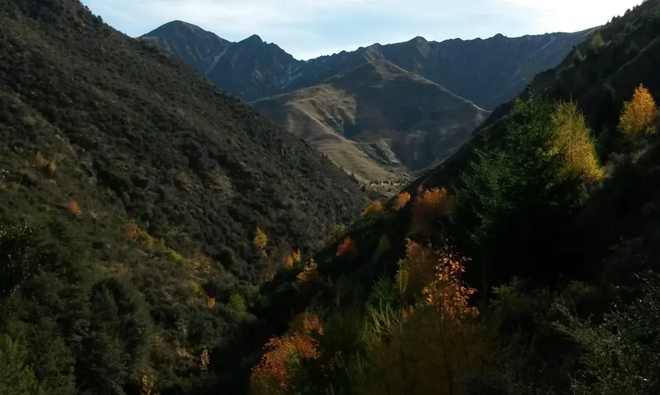
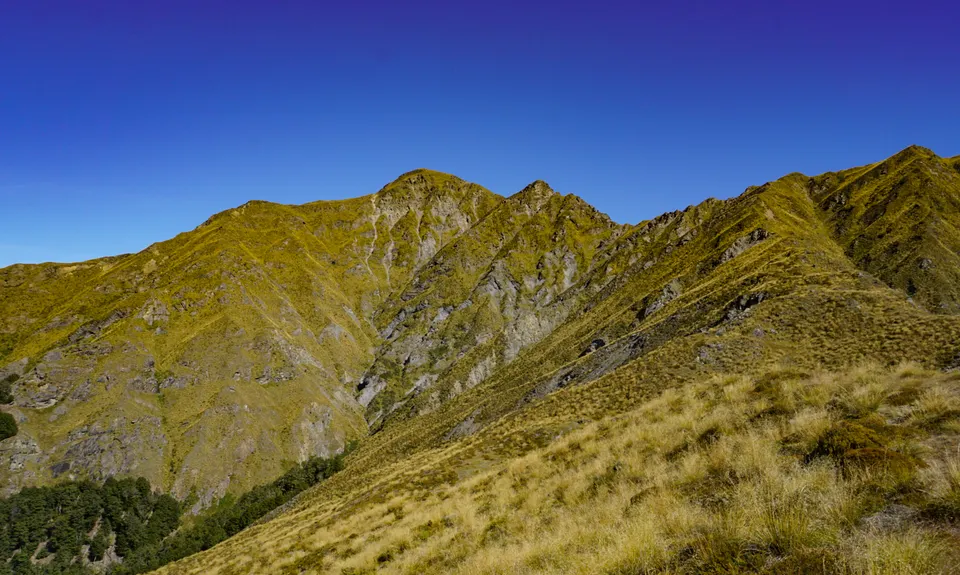
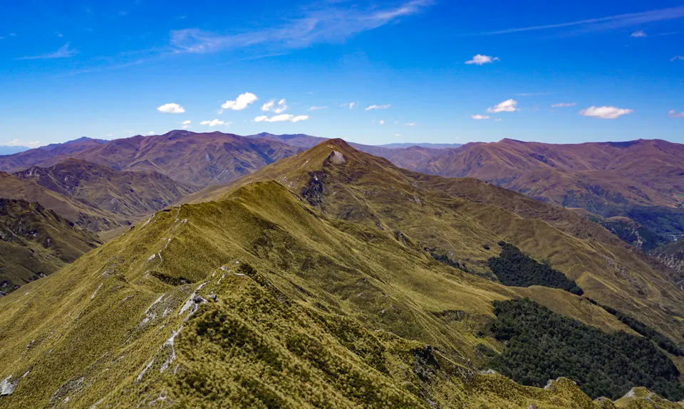
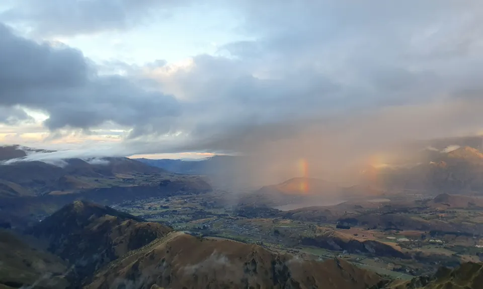
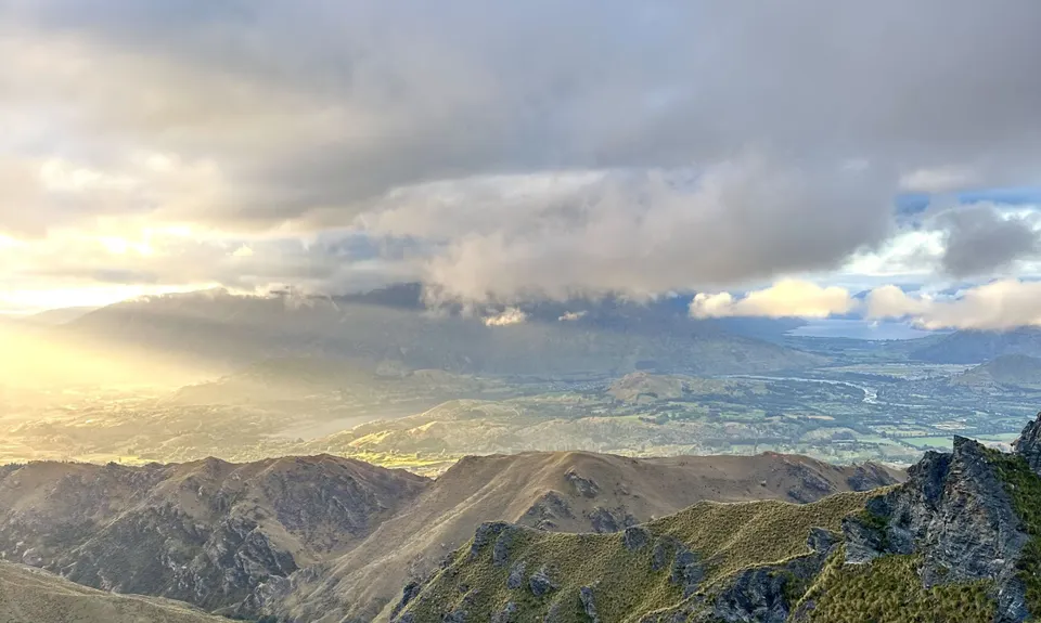
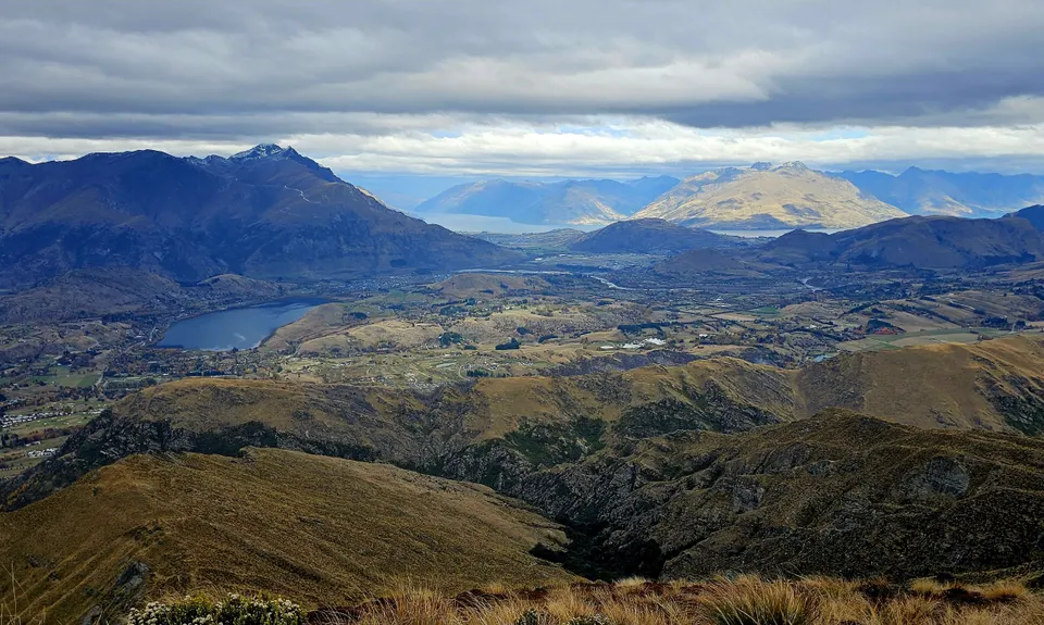
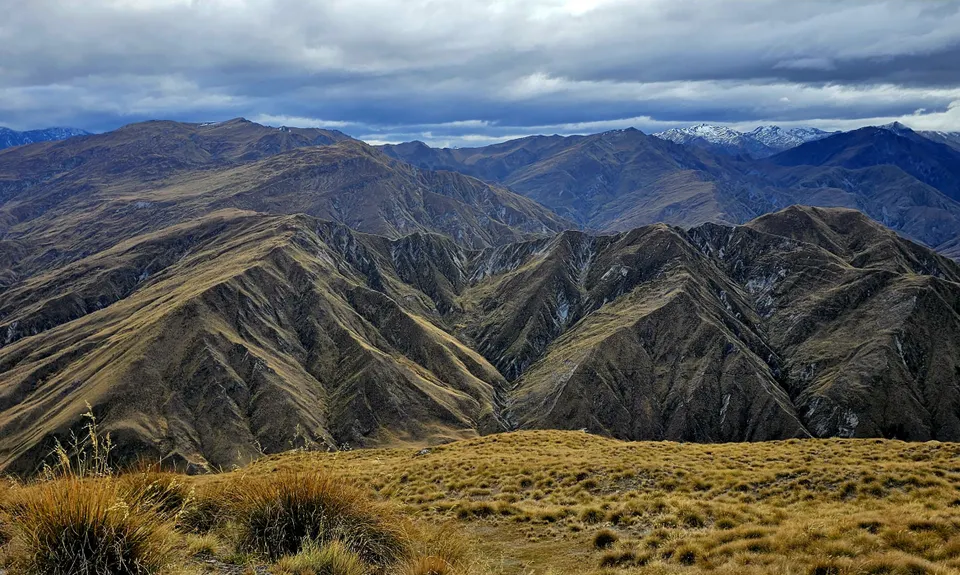
Brow Peak Mini Mission
Last Updated: 5th Jan 2025
Open
Grunt Factor: 59 ?
Gnarl Factor: 95 ?
21.0km
1610m
1610m
1450m
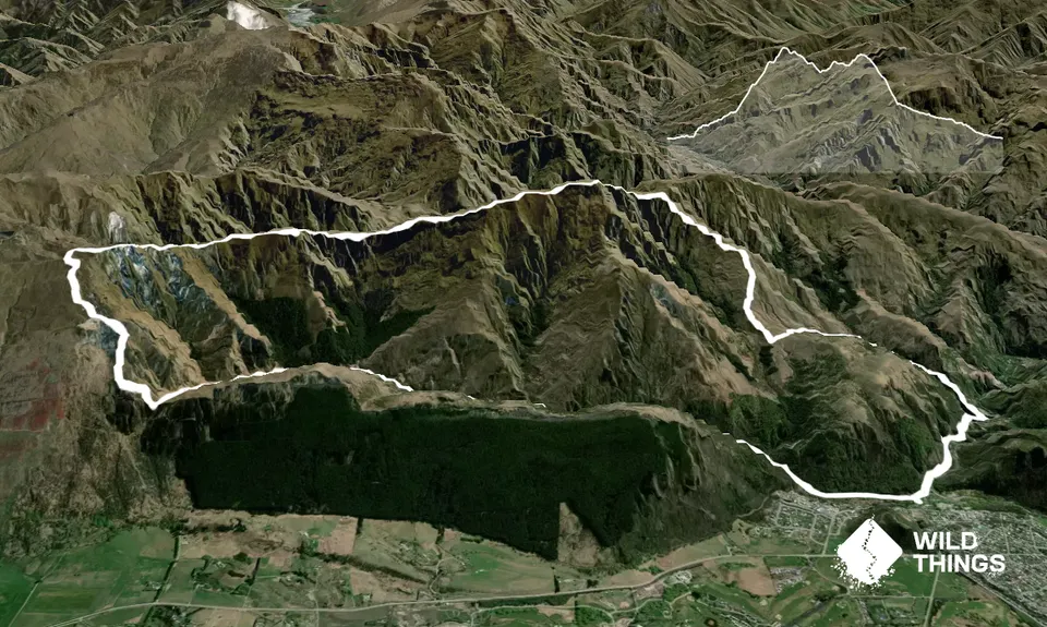
Trail Map
This Topo layer only covers NSW/ACT.
Switch to another map layer when viewing outside this area.
Switch to another map layer when viewing outside this area.