Last Updated: 10th Apr 2026
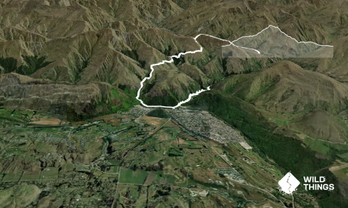
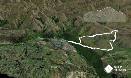
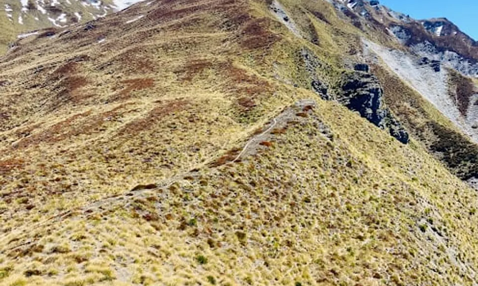
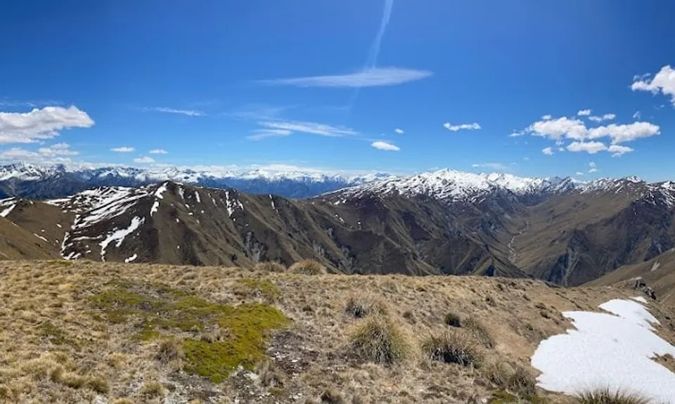
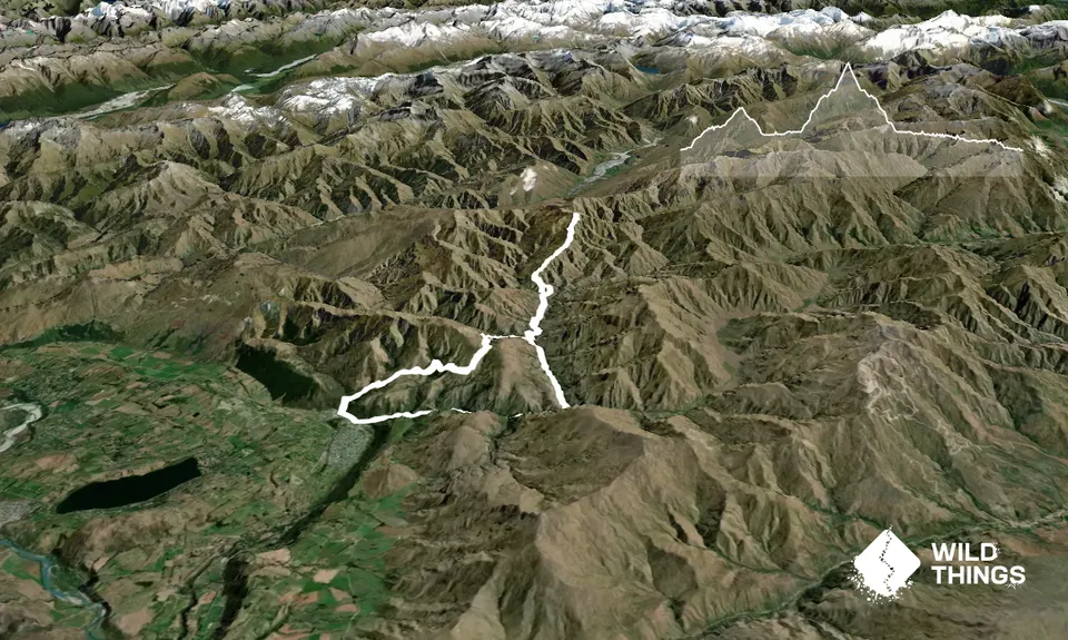
Advance Peak (via Big Hill inbound and Macetown Road outbound)
Last Updated: 10th Apr 2026
Open
Grunt Factor: 58 ?
Gnarl Factor: 31 ?
39.0km
2000m
2000m
1749m


Trail Map
This Topo layer only covers NSW/ACT.
Switch to another map layer when viewing outside this area.
Switch to another map layer when viewing outside this area.