Last Updated: 16th Jan 2025
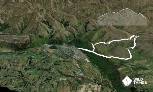
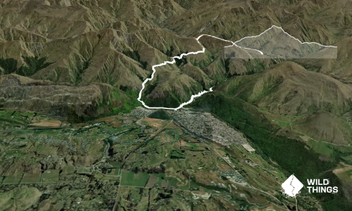
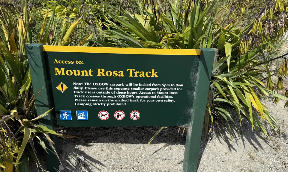
Mt Rosa Loop
Last Updated: 16th Jan 2025
Open
Grunt Factor: 26 ?
Gnarl Factor: 17 ?
20.3km
1213m
1213m
1316m
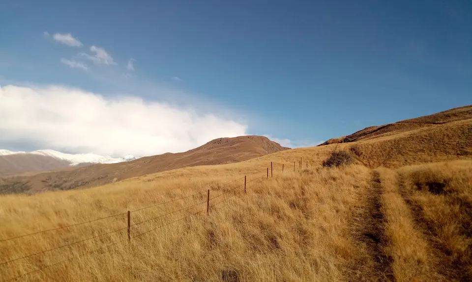
.jpg)
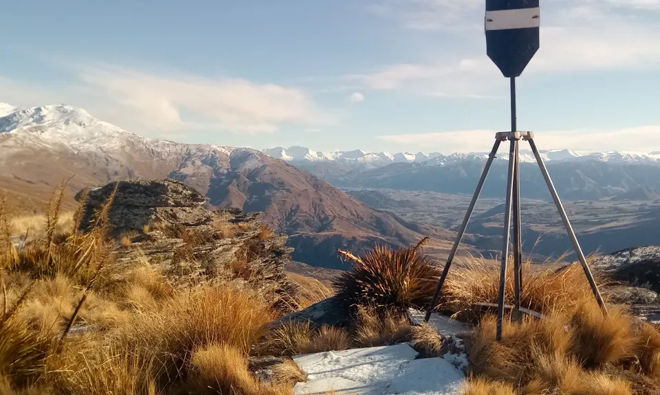
.jpg)
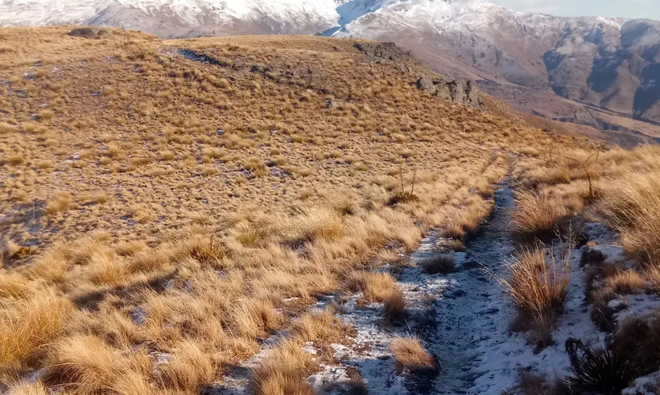
.jpg)
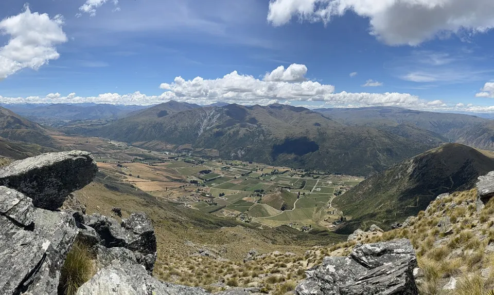
.jpg)


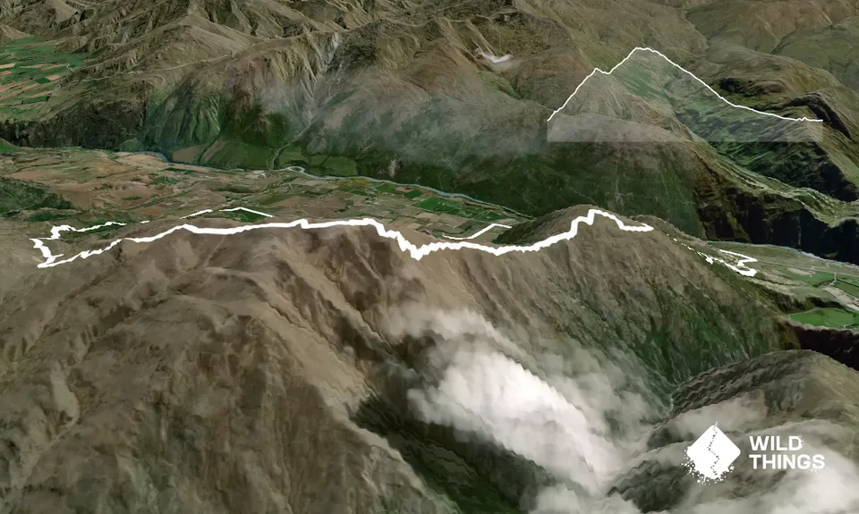
Trail Map
This Topo layer only covers NSW/ACT.
Switch to another map layer when viewing outside this area.
Switch to another map layer when viewing outside this area.