Last Updated: 7th Dec 2025
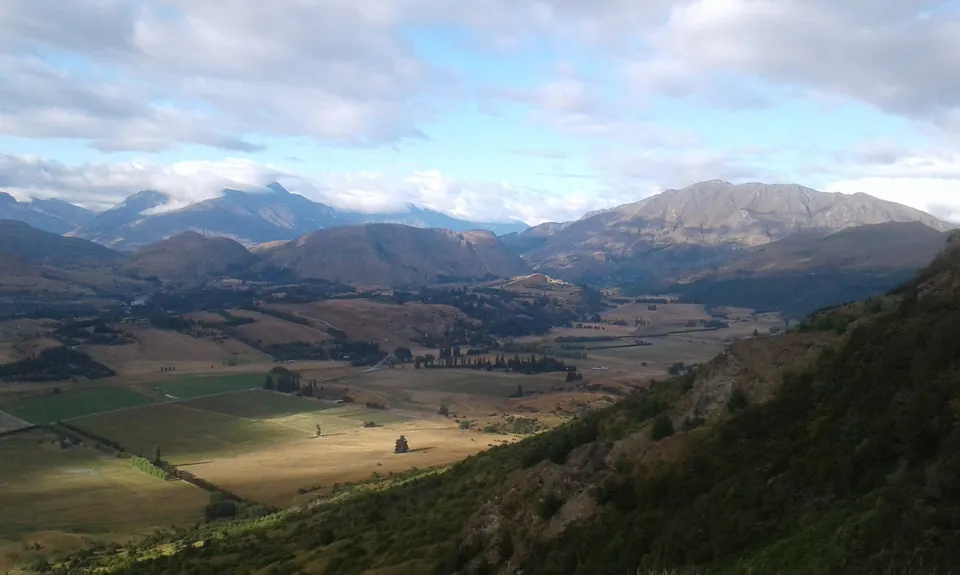
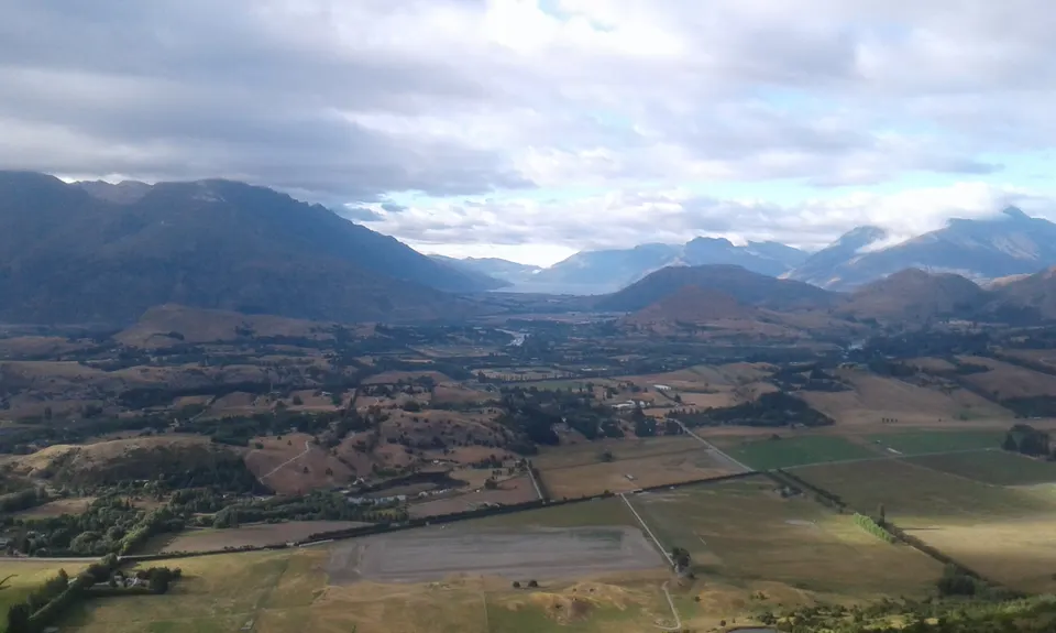
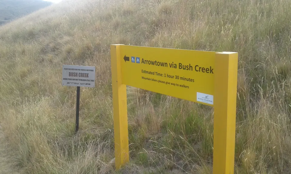
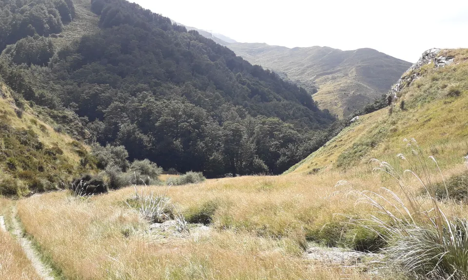
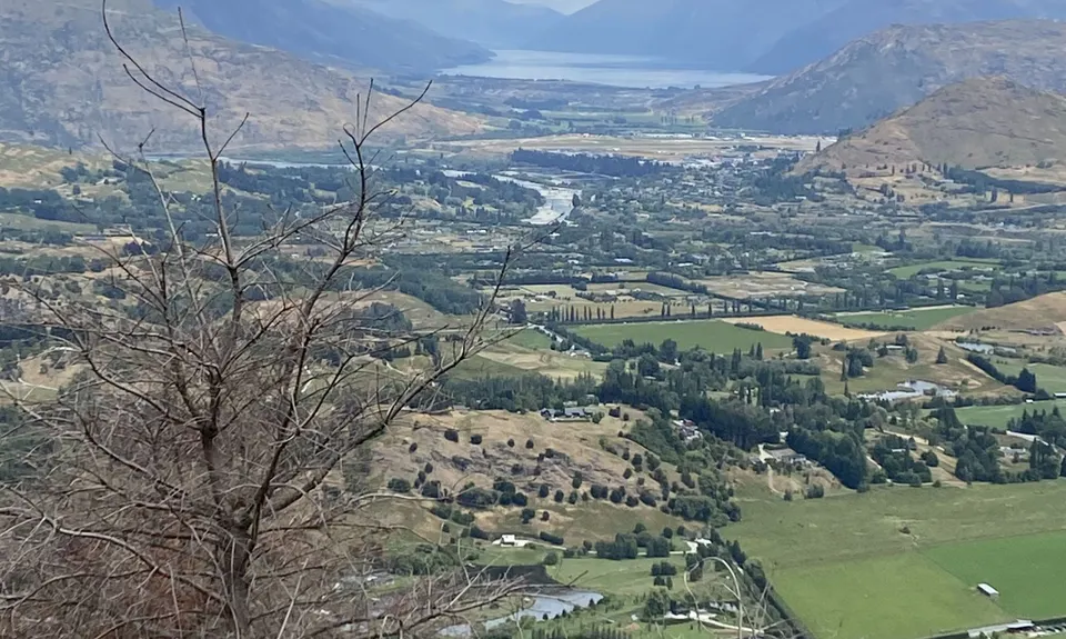
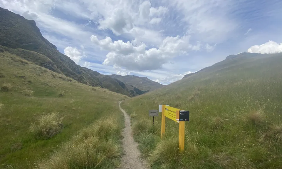
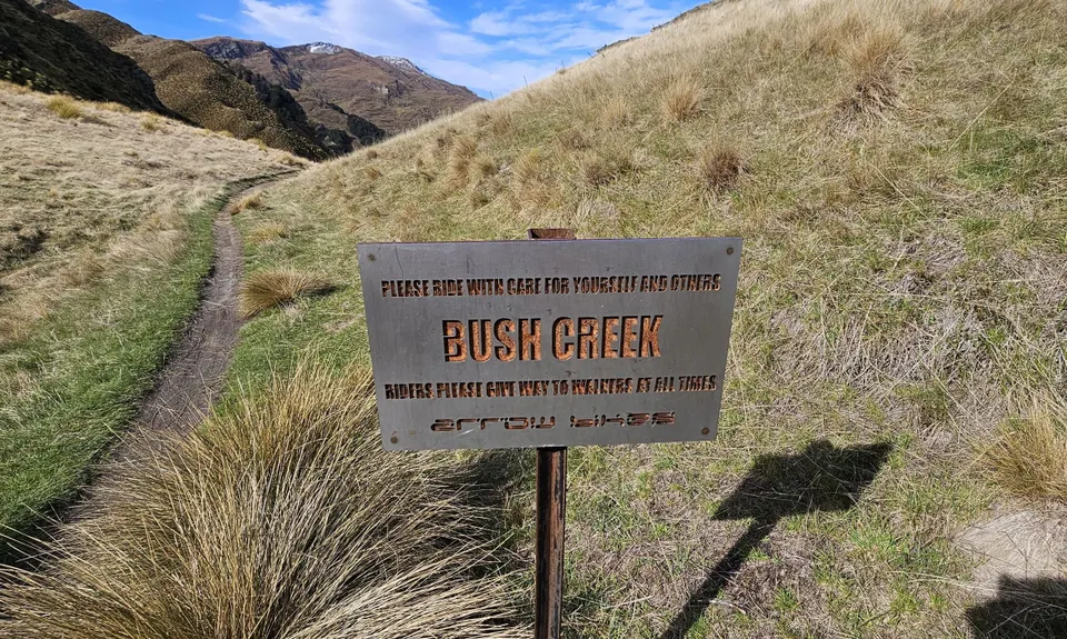
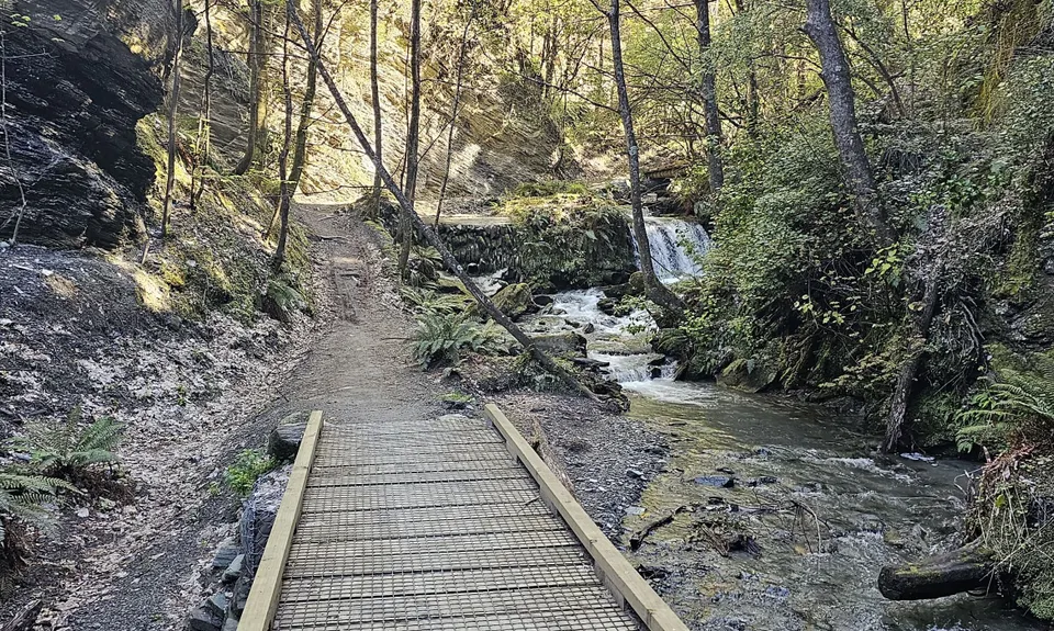
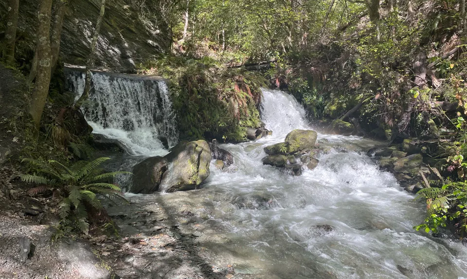
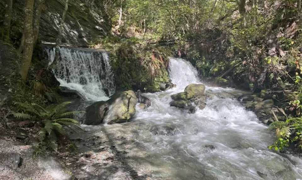
Bush Creek Banger and The Steiger!
Last Updated: 7th Dec 2025
Open
Grunt Factor: 23 ?
Gnarl Factor: 25 ?
14.5km
775m
775m
850m


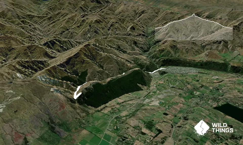
Trail Map
This Topo layer only covers NSW/ACT.
Switch to another map layer when viewing outside this area.
Switch to another map layer when viewing outside this area.


