Last Updated: 2nd Jun 2026
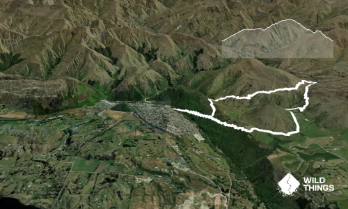
Miners Trail
Last Updated: 2nd Jun 2026
Open
Grunt Factor: 27 ?
Gnarl Factor: 28 ?
15.5km
1070m
1070m
1050m


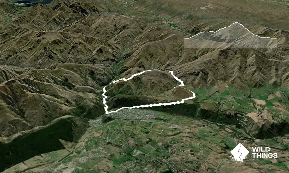
Trail Map
This Topo layer only covers NSW/ACT.
Switch to another map layer when viewing outside this area.
Switch to another map layer when viewing outside this area.