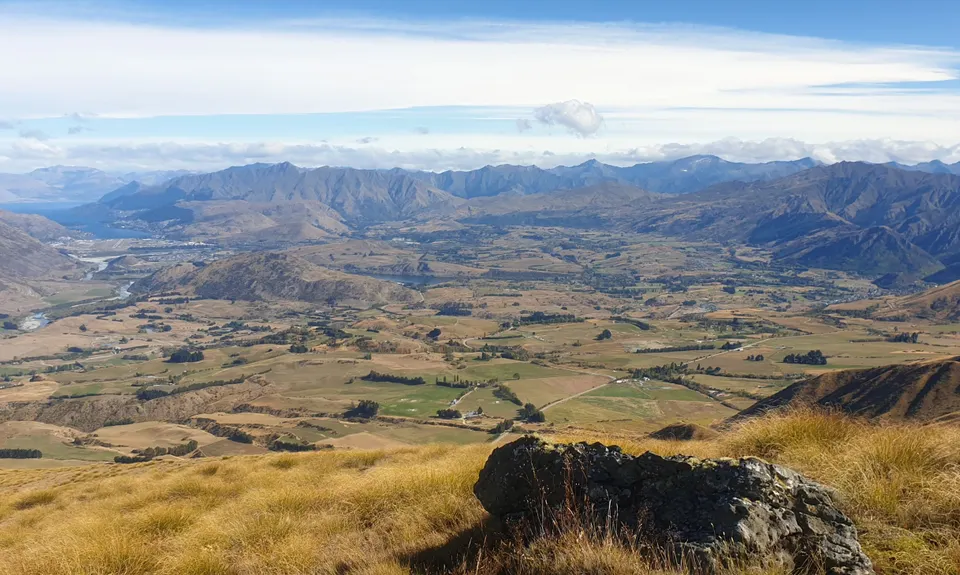
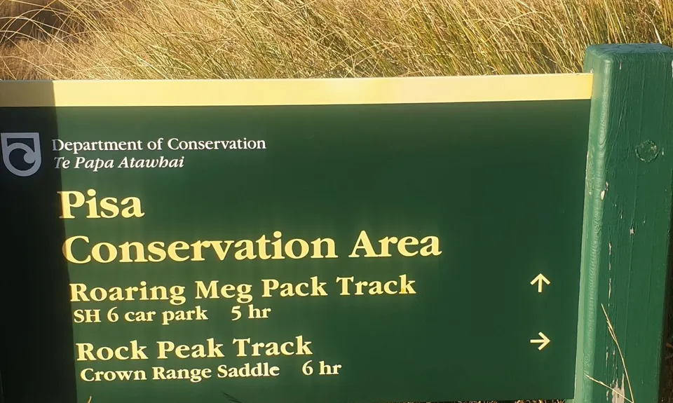
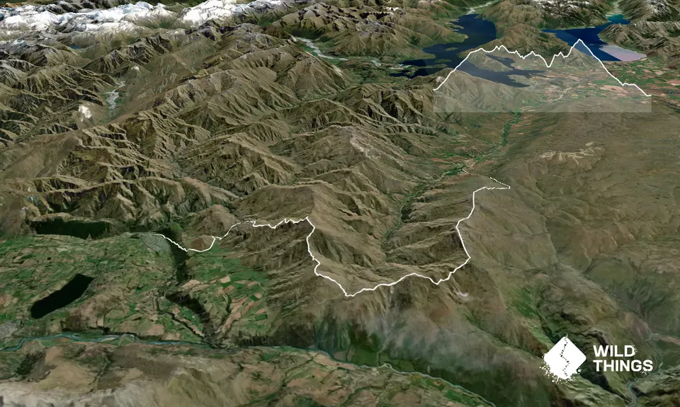
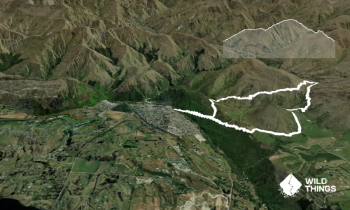
This is an extended version of Route 1 which takes you over Legs 7 and 8 of The WILD 100 mile course. It’s a point to point run that starts at the Tuohys Gully car park and will require a drop-off, car shuttles or a key swap with people running in the opposite direction.
Most suitable for:
Intermediate level runners and above. A high level of fitness is required.
Peaks to be bagged:
Queensberry Hill 1531m (v. short detour), Quartz Knoll 1593m, Mt Allen 1492m (v. short detour), Rock Peak 1490m (short detour), Mt Scott 1363m and Crown Peak 1735m (v. short detour)
Navigation:
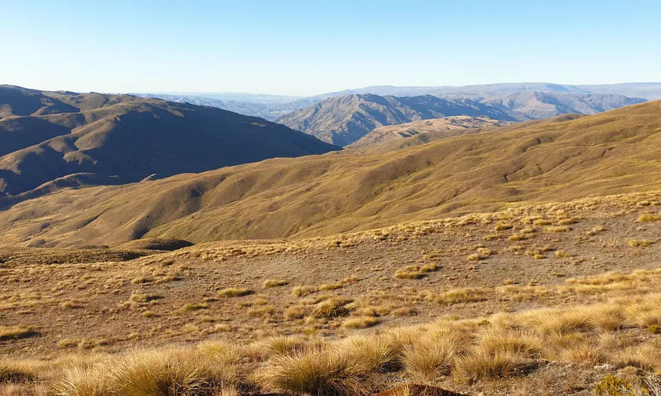
The first half is very easy. The second half (after crossing the main road) is reasonably straightforward in good conditions but could be tricky towards top of Crown Peak if the cloud is down.
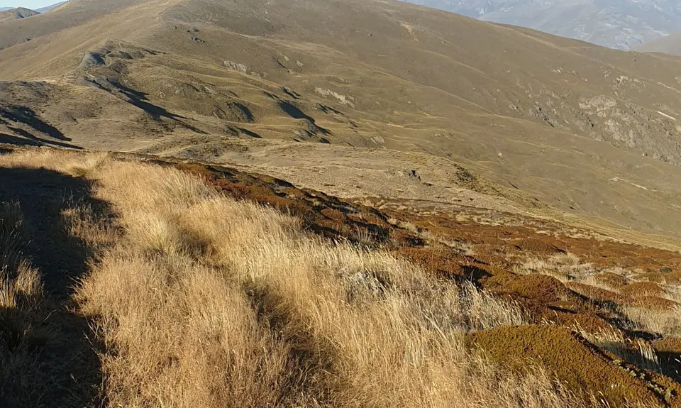
Trail Conditions
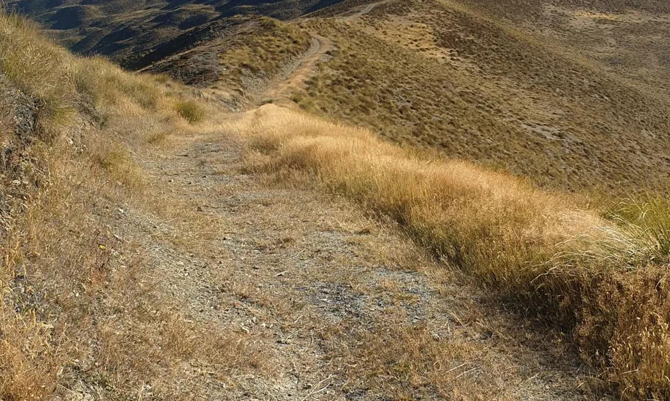
The first half is all easy 4WD/farm track. The section from the main road to Crown Peak is much rougher with only a sketchy trail at best to follow. From Crown Peak down is more 4WD/farm track and some easy-moderate single track, finishing with very cruisy riverside trail.
Optional Extra
Only a few tens of metres off the track is the rocky summit of Crown Peak (1735m) – worth the diversion if you’re a peak bagger.