Last Updated: 17th Apr 2024
Beat Beetham
Last Updated: 17th Apr 2024
Open
Grunt Factor: 15 ?
Gnarl Factor: 39 ?
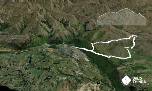
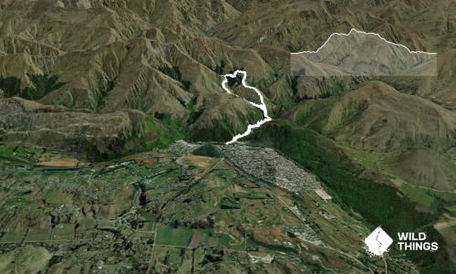
7.2km
530m
530m
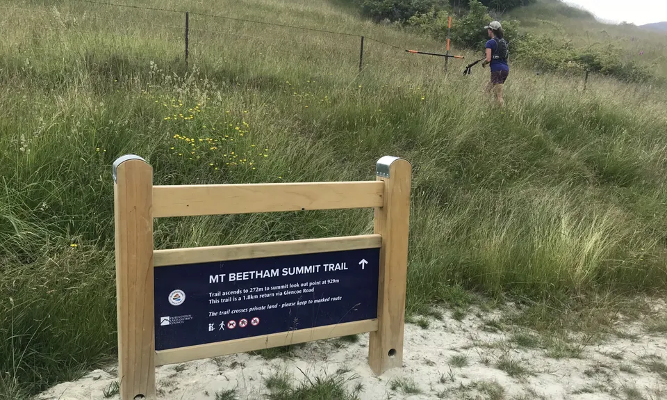
929m


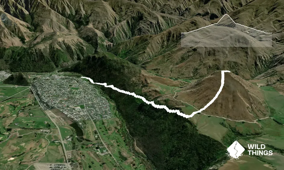
Trail Map
This Topo layer only covers NSW/ACT.
Switch to another map layer when viewing outside this area.
Switch to another map layer when viewing outside this area.