Last Updated: 26th Feb 2024

Intermediate

Save Trail Save

I've done it Done

Coronet Loop

Arrowtown, Otago

Submitted by Chrissy Schreiber

Last Updated: 26th Feb 2024

Intermediate

Save Trail Save

I've done it Done

Grunt Factor: 64 ?

Gnarl Factor: 18 ?

50.0km

1445m

1485m

917m


Login as a VIP to see driving directions, distance and time.

Trail Map

Type of Run

Back country - remote

Loop

Undulating, small hills only

Native bush

Riverside

Open tussock/grasslands

Other

Run Makeup

35%
40%
25%

Farm Road / 4WD Track

Easy Single Track

Moderate Single Track

Average Uphill Gradient: +5.7%

Average Downhill Gradient: -5.8%

Trailhead

Login as a VIP to see the trailhead information.

Estimated Times to Run

8:30

Slow

7:00

Moderate

5:00

Fast

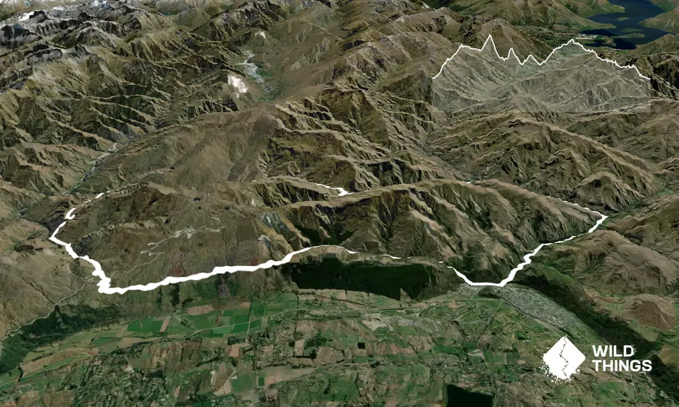
Following the sign ‘Coronet Loop Track’ from the Chinese Village carpark cross the footbridge and turn left. At 1.2kms cross the bridge and turn left onto Bush Creek Track. This track section was upgraded in 2021 with various footbridges.

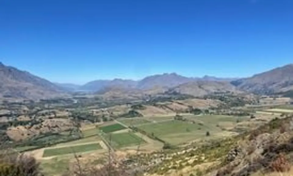
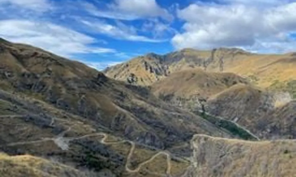
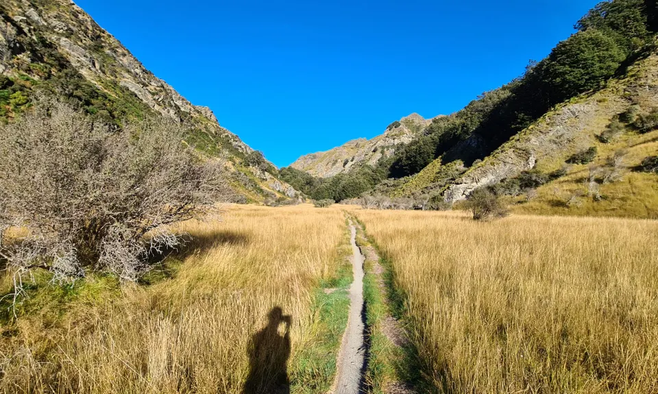
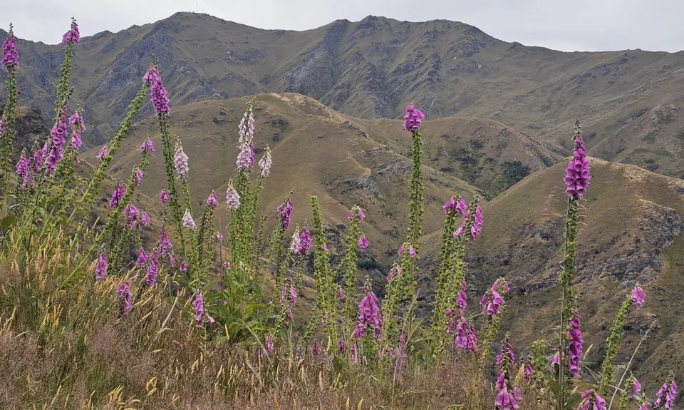
The track gradually climbs through beech forest along the creek and after 6.5kms you will be rewarded with stunning views.

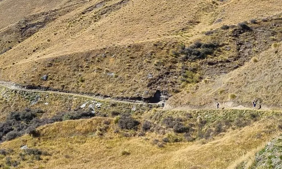
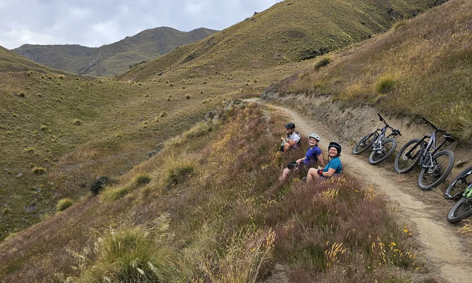
Continue along the Coronet Face Water Race which weaves for 6kms along the front face of Coronet Peak through beech forest and old mining sites to Coronet Peak Road. Be aware, Bush Creek and Coronet Face Water Race are two-way tracks, keep an eye out for downhill bikers.

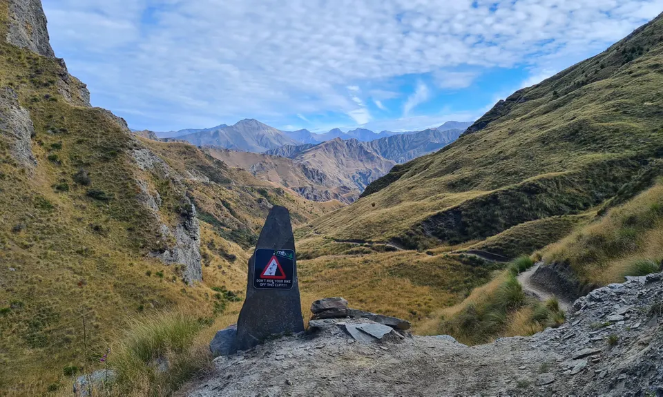
Cross Coronet Peak Road, head up the connector trail for 600m to the start of Pack, Track, and Sack. The downhill mountain track will take you down into Long Gully in Skippers. There are a few steep rock drops on the sections. Be mindful of fast-approaching bikers from behind.

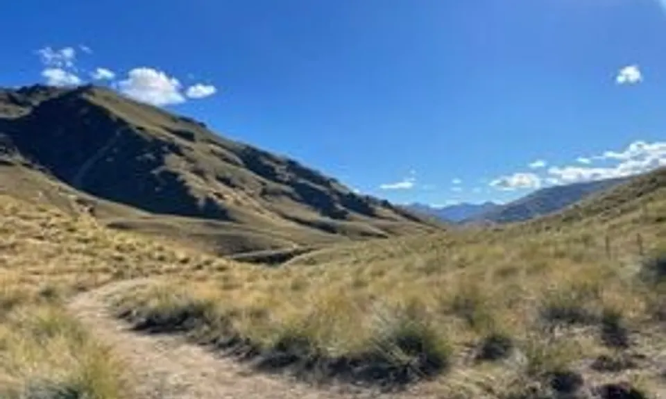
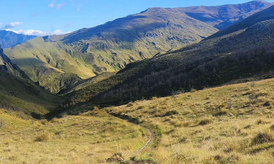
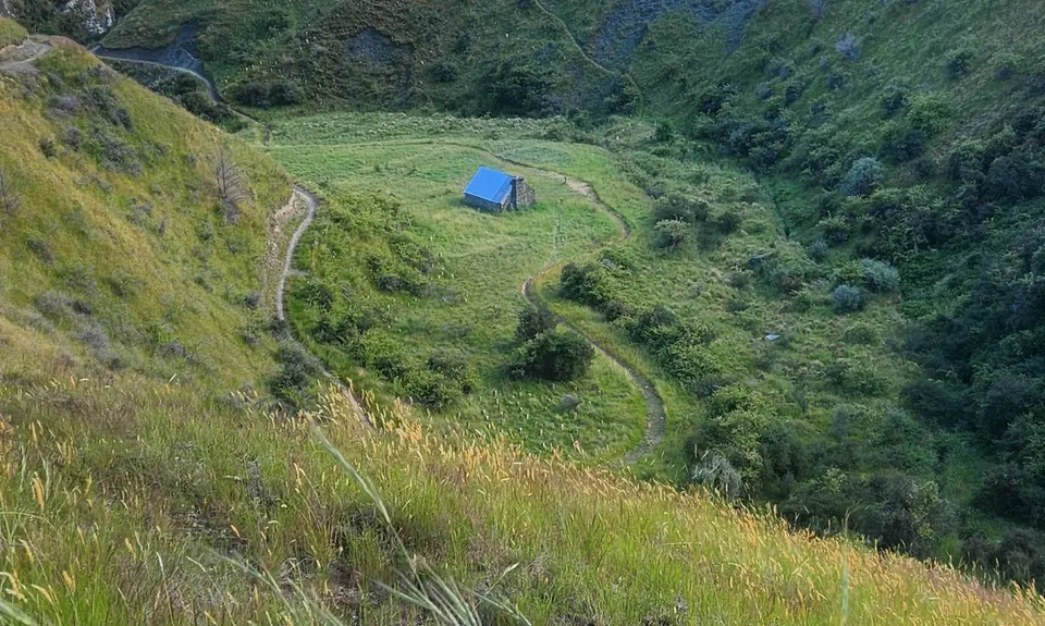
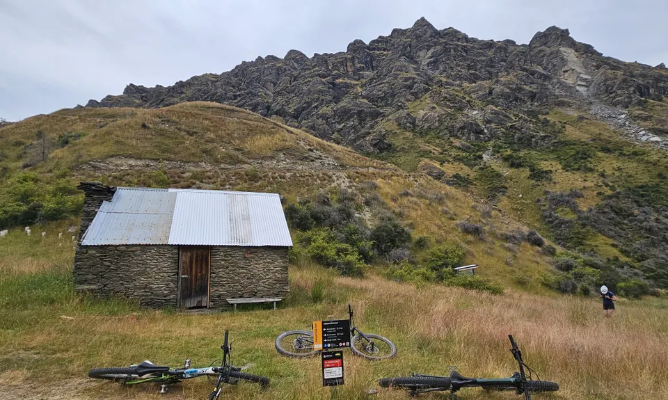
At 17kms turn right, the track starts gradually climbing to Greengate Saddle, which gives great views of Skippers before dropping down to the historic Greengate Hut (21.5kms). There is a creek to fill up water.

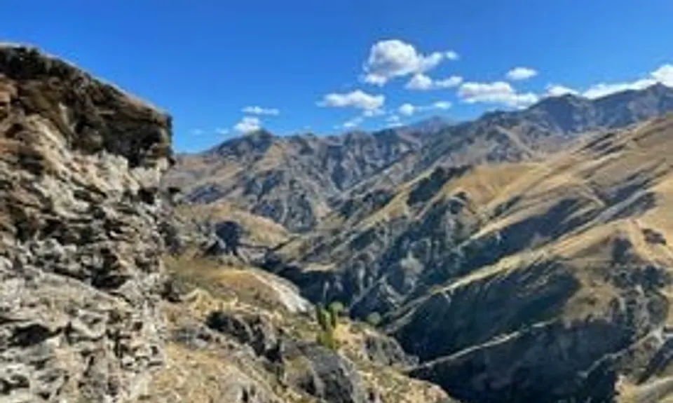
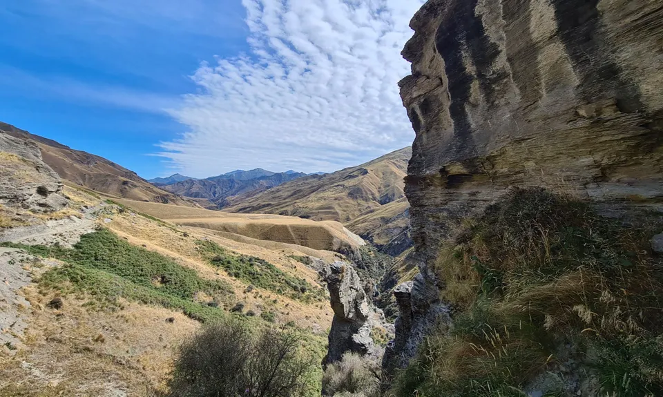
Past the hut, the track starts opening high above Deep Creek overlooking the remains of the Old Greengates Hotel. The loop continues upstream, over Picnic Rock with stunning views of the valley before descending into Deep Creep. This part of the section gives a real sense of remoteness.

Deep Creek marks the halfway point of the loop (25kms) and water refill opportunity.

From here the track sidles in and out of the creek, gradually climbing up to Deep Creek Saddle (33.5kms). From the saddle, the track descends to Eight Mile Hut (39kms). After Eight Mile Hut the tracks turns right to join up with Macetown 4WD Road. From here the track follows the road.

Depending on river levels, at 44kms there is a footbridge on the left or cross the river.

At the 48.5kms use the Norman Spencer bridge to cross the river or continue along the 4WD road involving several river crossings back to the Chinese Village carpark.

The gpx data provided crosses the rivers at the end, you might, however, choose to head across the bridge, go up the stairs, then follow the single track above the river back to the footbridge at Chinese Village. Ignore the junction to Sawpit Gully along the way.

Allow an extra hour to explore the gold mine history of the area and the stunning views along the way.

Plenty of free, all-day parking in Arrowtown by the river.

47 km

39 minutes

Unknown

No

Moderate.

Non-existent.

Thermal leggings, Short-sleeved thermal top, Long-sleeved thermal top, Seam-sealed waterproof jacket, Windproof jacket, Gloves, Beanie/thermal headwear, Personal Locator Beacon (PLB), Whistle, First aid kit, Extra food for emergencies, Survival bag, Survival blanket, Cellphone, Map, Headtorch and spare batteries

Water Refills: Bush Creek Track (6kms), Greengate Hut (21.5kms), Deep Creek (25km), various crossing along Deep Creek, Eight Mile Creek (34kms), Arrow River (40kms) and various points along the Macetown Road.

The Deep Creek section of this loop is remote and give an amazing backcountry experience. There is no shelter from the elements. Be adequately prepared, take extra gear including first aid kit and a PLB/Inreach.

Be aware, Bush Creek and Coronet Face Water Race are two-way tracks, keep an eye out for downhill bikers.

There are a few steep rock drops on the downhill mountain bike section into Skippers. Be mindful of fast approaching bikers from behind.

Fork and Tap
51 Buckingham Street, Arrowtown
https://www.theforkandtap.co.nz/
Great selection of beers and the bowl of fries is a real treat over a long run.

Trail Legend

Ben Cullen

Ben Cullen

has completed Coronet Loop twice in the last year.

Learn about Trail Legends.

You and Coronet Loop

As a VIP member you can record private notes for this trail, see all of your times and more.

Register Now

Already have an account? Login now

Trail Reviews

Great loop.

Mike Kerr

April 9, 2023

Glorious hot dry day, amazing views, and "a loop" in easy reach of Arrowtown and the pub!!..I was impressed with the trail standard and markings, it could be a nice winter jaunt for the 50km plus wild things, and I am keen to run thus loop at night as well!!

Lynette ELFICK

April 16, 2022

Login to submit a review

Trail Running Community

Find people who are interested in or have completed this trail run.

You must register or login to view this feature.

Register Now

Overlapping Trails

These overlap with this trail to some degree. You may wish to combine them but please note that to qualify for FKTs on these runs you should record a separate activity for each.

Macetown

Macetown

Length: 27.5km

Level: Beginner - Intermediate

Other trails nearby
Bush Creek Banger and The Steiger!

Bush Creek Banger and The Steiger!

Length: 14.5km

Level: Beginner - Intermediate

Mt Soho Marathon

Mt Soho Marathon

Length: 43.0km

Level: Experienced

Sawpit Gully - German Hill

Sawpit Gully - German Hill

Length: 7.6km

Level: Beginner - Intermediate

The Not WILD 20 Mile Course

The Not WILD 20 Mile Course

Length: 35.5km

Level: Intermediate

Find more trails and peaks nearby