Last Updated: 31st Oct 2025
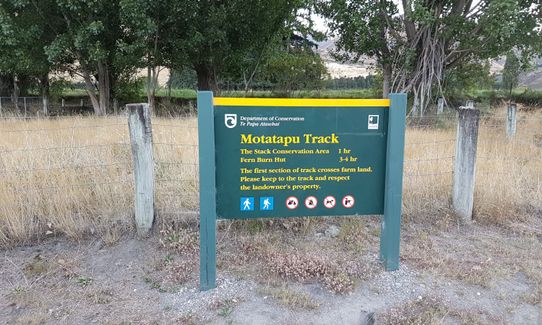
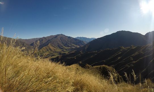
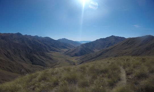
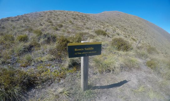
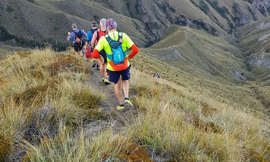
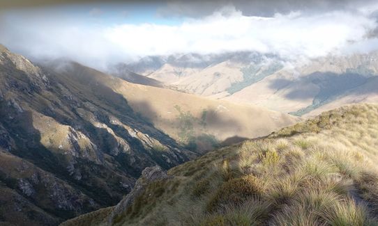
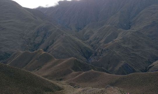
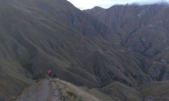
Motatapu Rab Ultra Run
Last Updated: 31st Oct 2025
Open
Grunt Factor: 104 ?
Gnarl Factor: 64 ?
50.0km
3000m
3000m
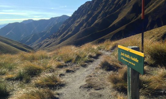
1275m
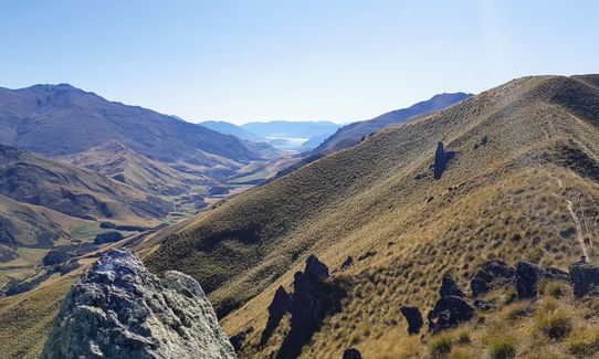
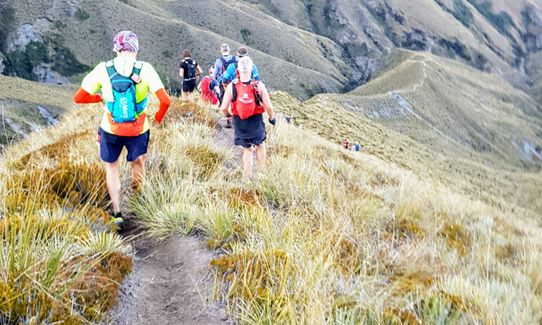
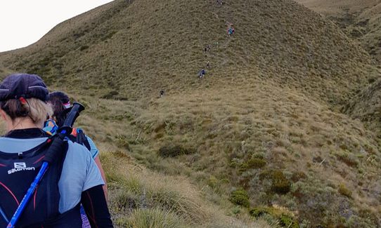
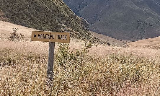
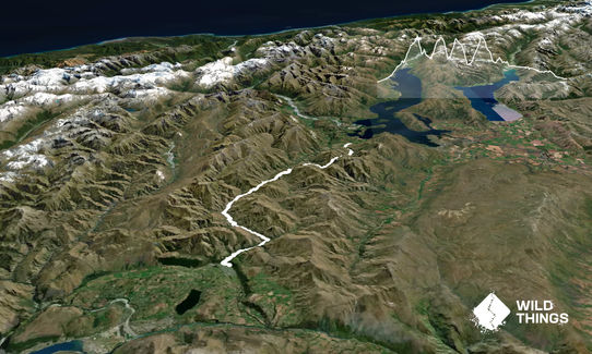
Trail Map
This Topo layer only covers NSW/ACT.
Switch to another map layer when viewing outside this area.
Switch to another map layer when viewing outside this area.


