Last Updated: 15th Jan 2025
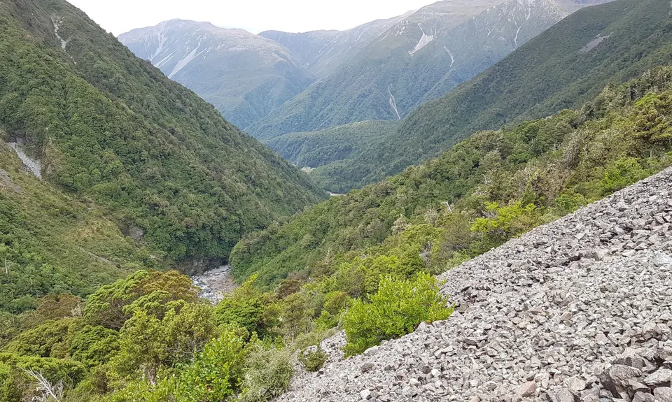
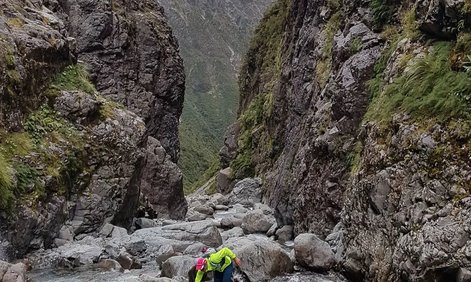
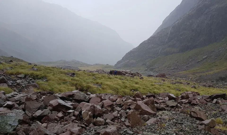
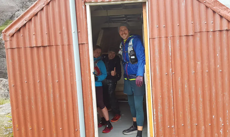
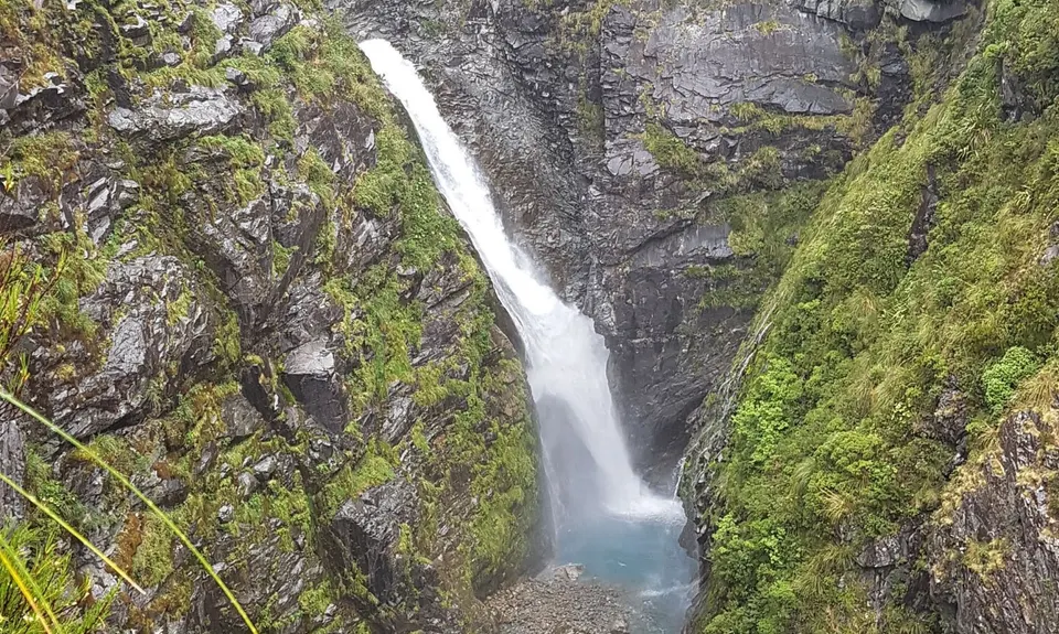
Waimak Col (Otira to Klondyke)
Last Updated: 15th Jan 2025
Open
Grunt Factor: 73 ?
Gnarl Factor: 79 ?
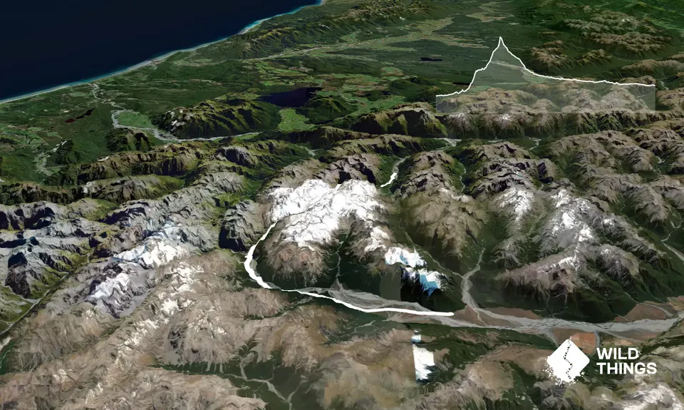
32.0km
1610m
1360m
1787m
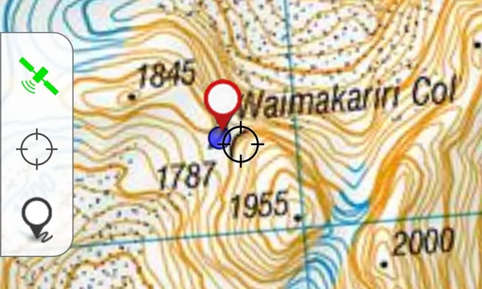
Trail Map
This Topo layer only covers NSW/ACT.
Switch to another map layer when viewing outside this area.
Switch to another map layer when viewing outside this area.


