Last Updated: 8th Jan 2024
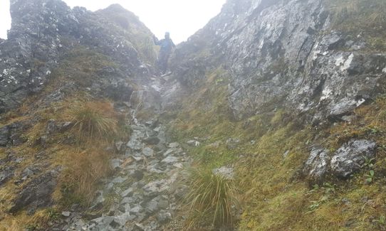
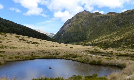
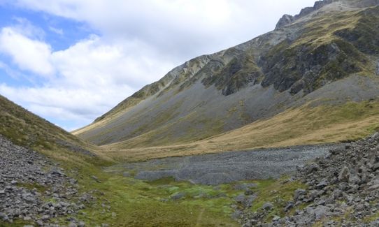
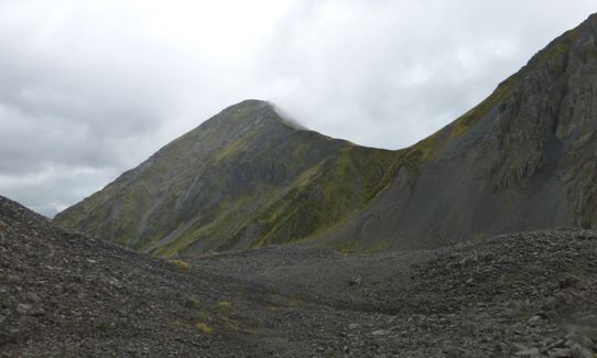
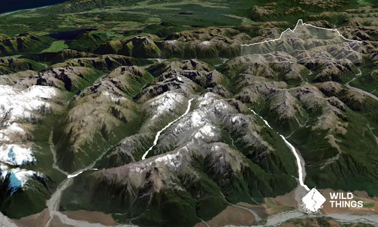
Hawdon-Edwards Classic
Last Updated: 8th Jan 2024
Open
Grunt Factor: 60 ?
Gnarl Factor: 75 ?
30.0km
1100m
1000m
1386m

Trail Map
This Topo layer only covers NSW/ACT.
Switch to another map layer when viewing outside this area.
Switch to another map layer when viewing outside this area.


