Last Updated: 28th Oct 2023
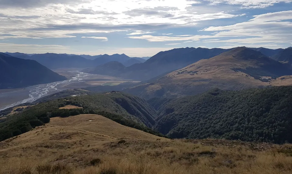
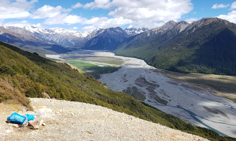
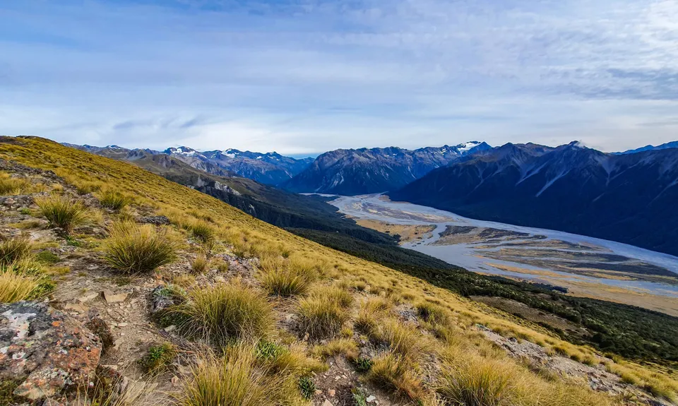
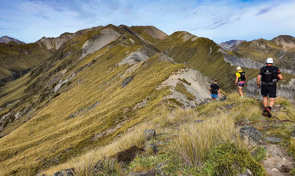
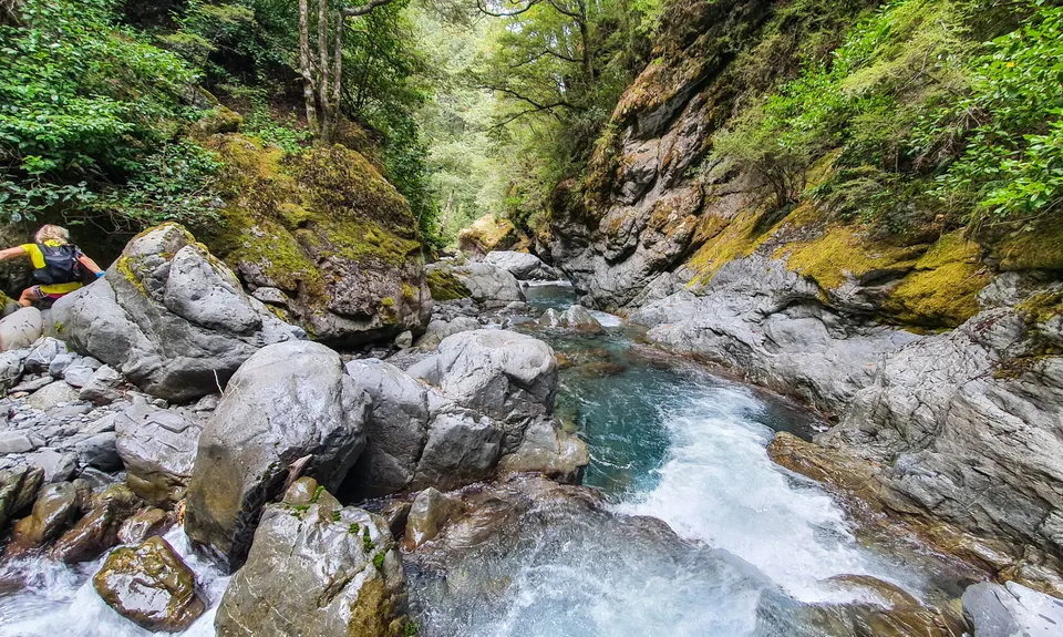
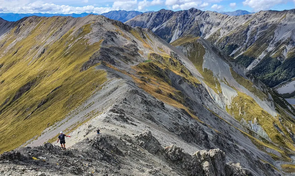
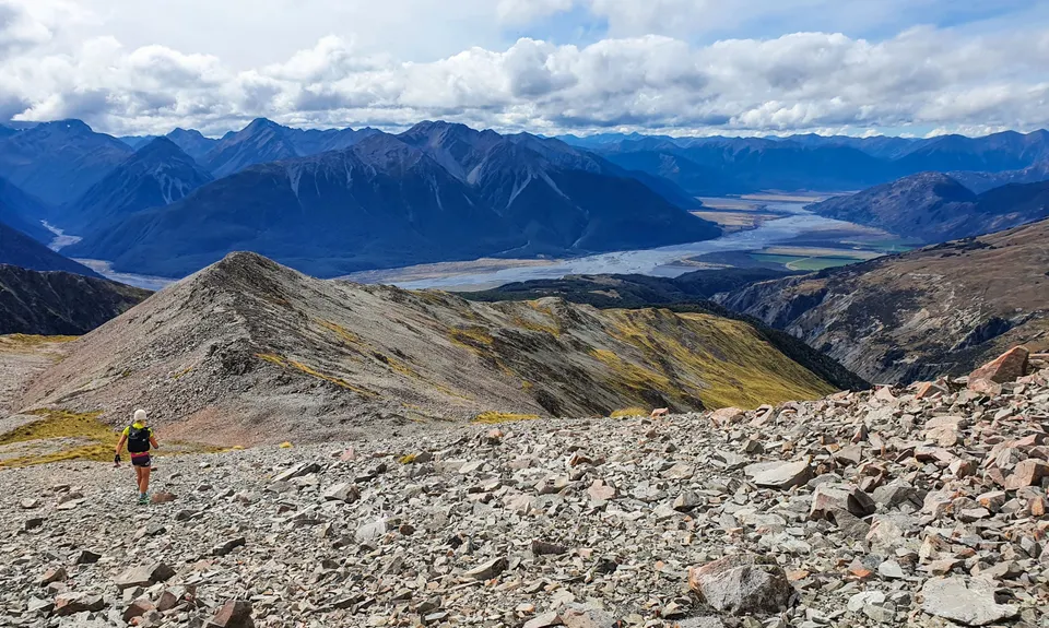
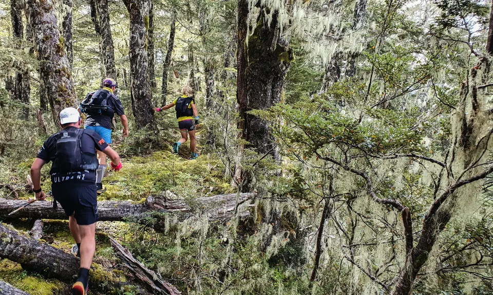
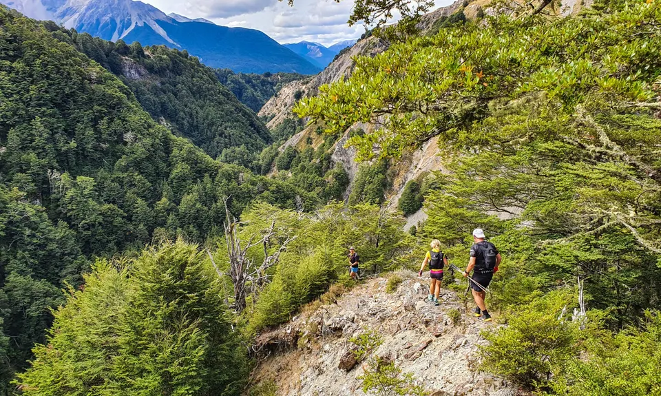
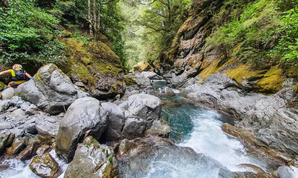
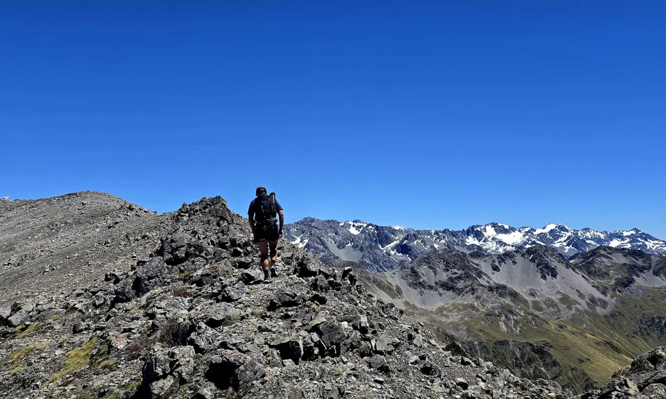
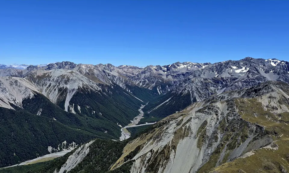
Bealey Blaster
Last Updated: 28th Oct 2023
Open
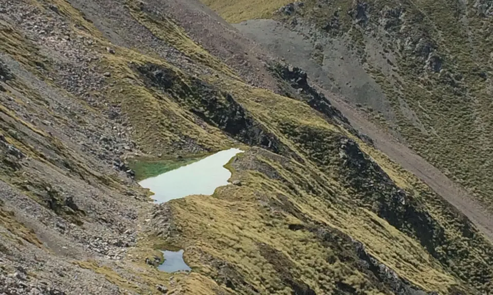
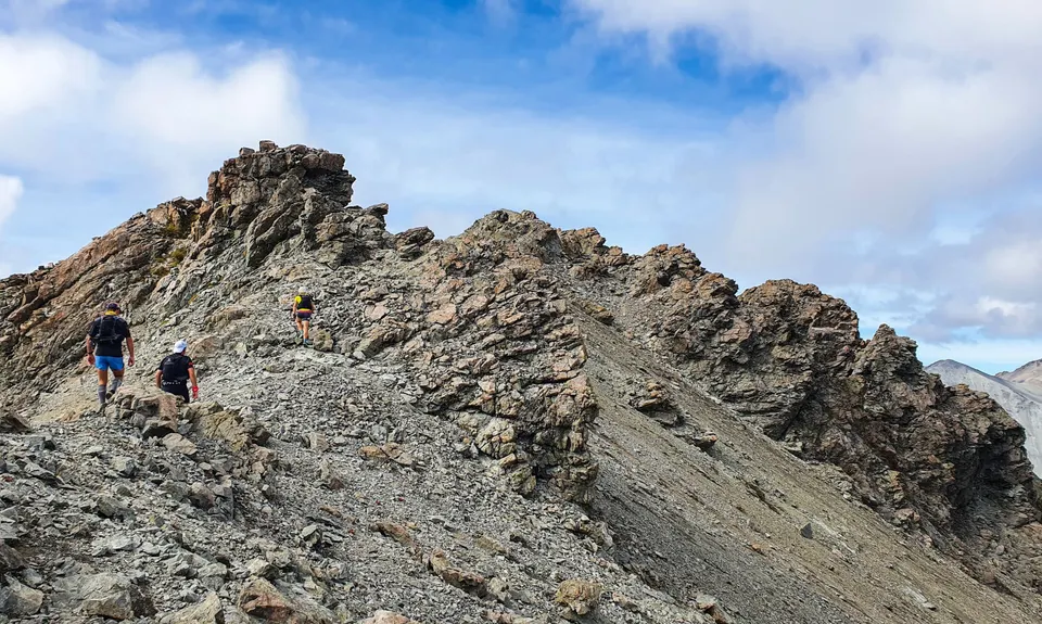
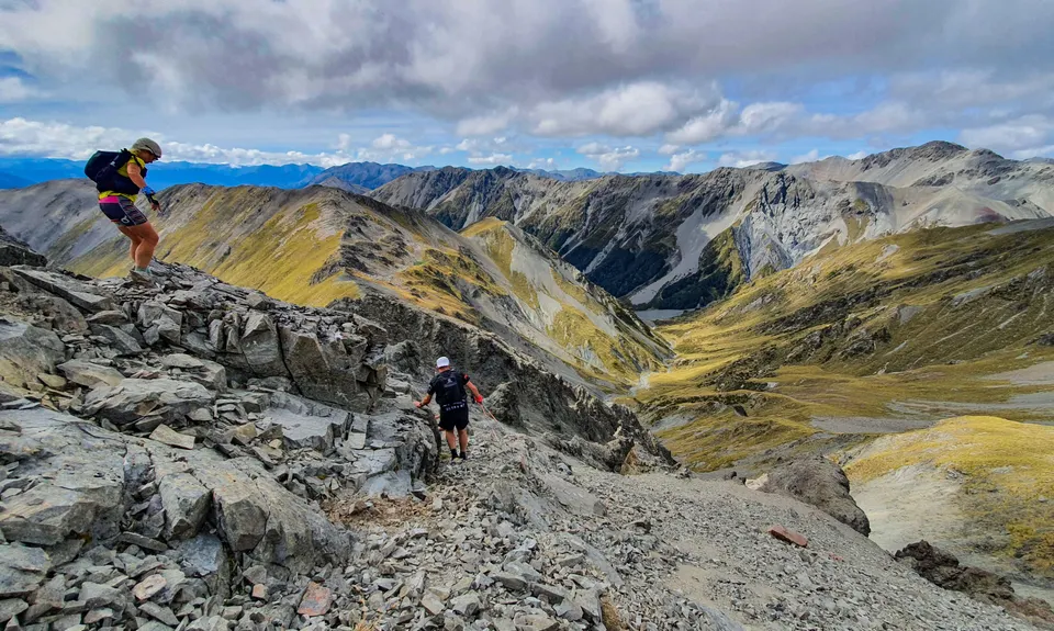
Grunt Factor: 61 ?
Gnarl Factor: 76 ?
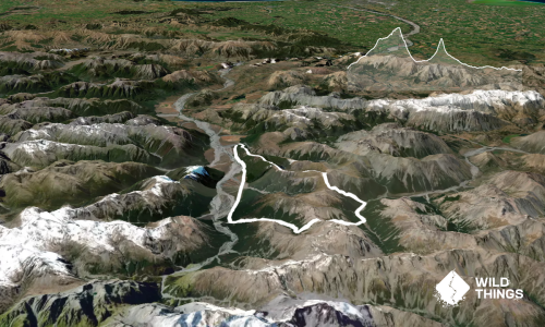
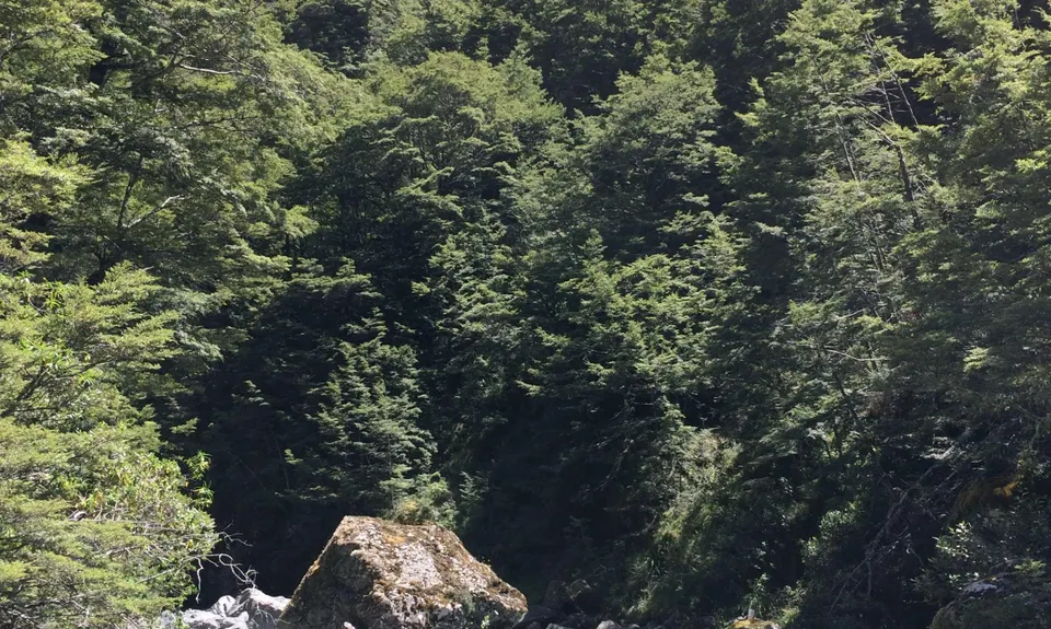
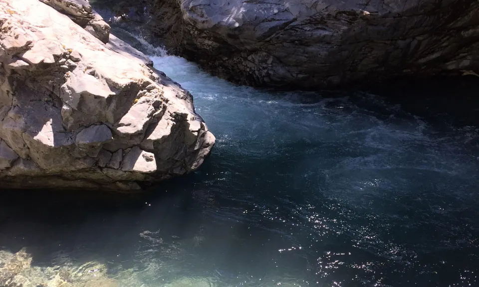
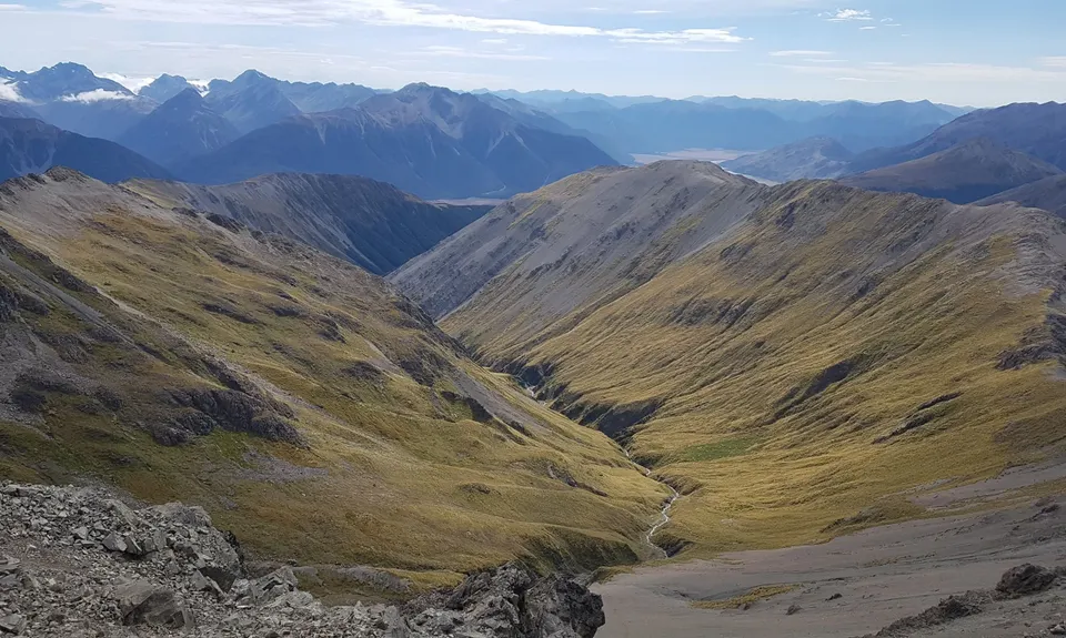
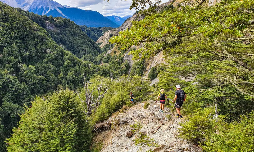
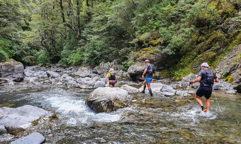
24.0km
1430m
1430m
1907m


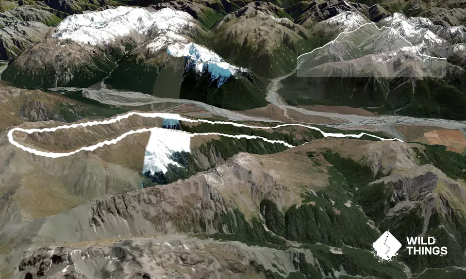
Trail Map
This Topo layer only covers NSW/ACT.
Switch to another map layer when viewing outside this area.
Switch to another map layer when viewing outside this area.