Last Updated: 26th Feb 2025
Oates for Breakfast
Last Updated: 26th Feb 2025
Open
Grunt Factor: 65 ?
Gnarl Factor: 71 ?
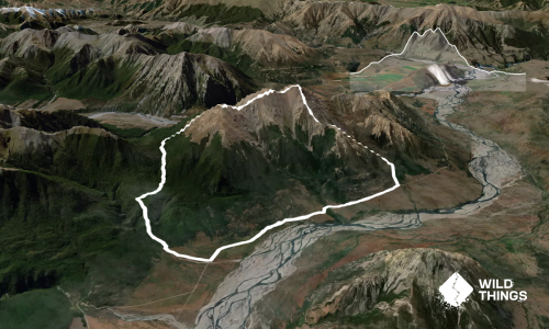
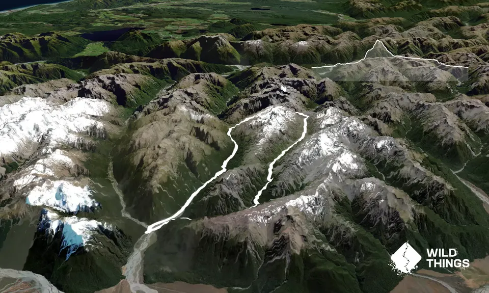
29.0km
1500m
1500m
2041m
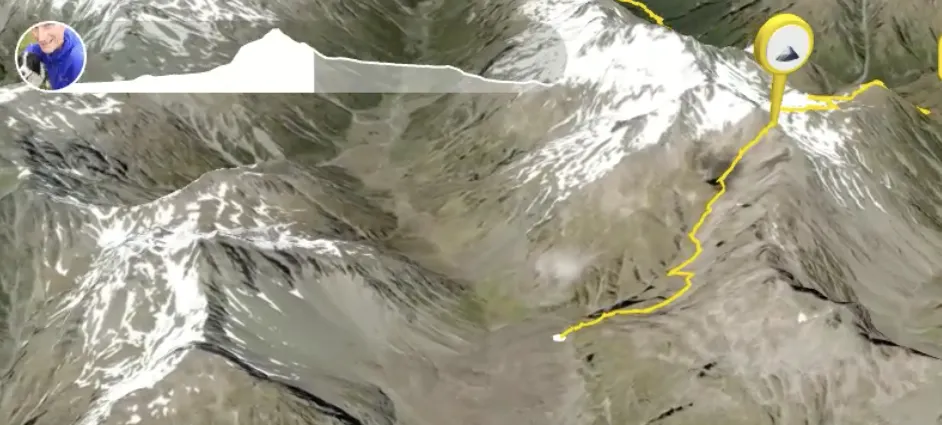
Trail Map
This Topo layer only covers NSW/ACT.
Switch to another map layer when viewing outside this area.
Switch to another map layer when viewing outside this area.