Last Updated: 12th Feb 2025
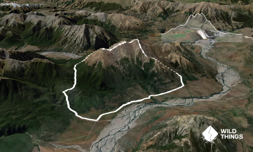
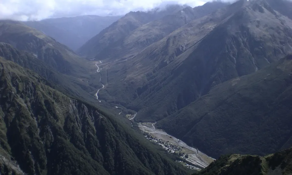
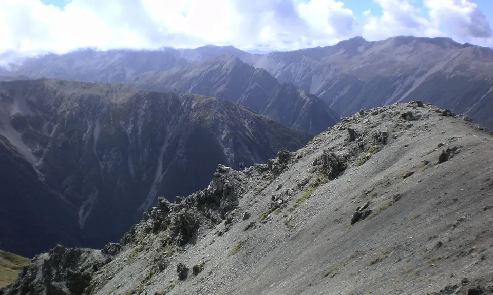
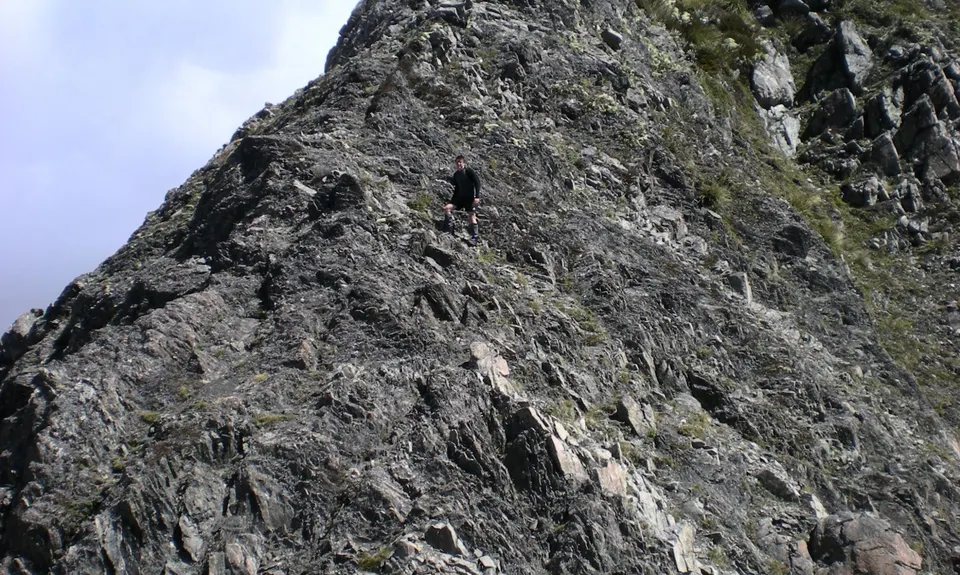
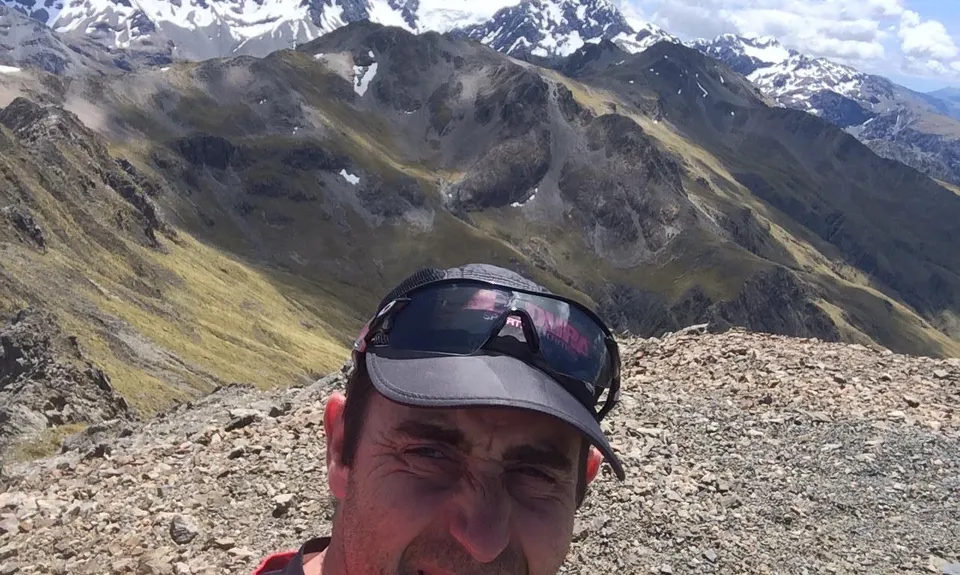
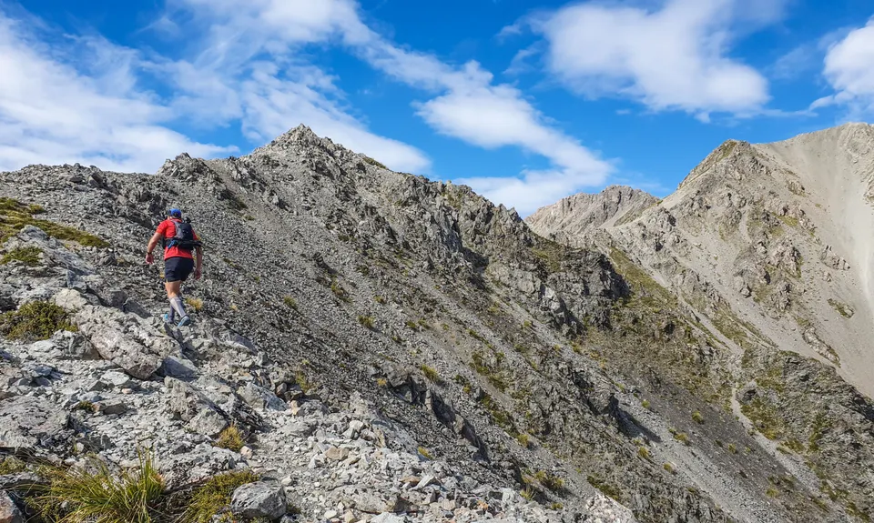
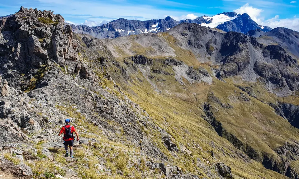
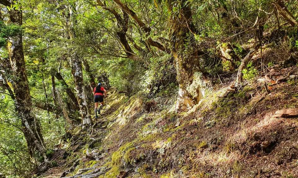
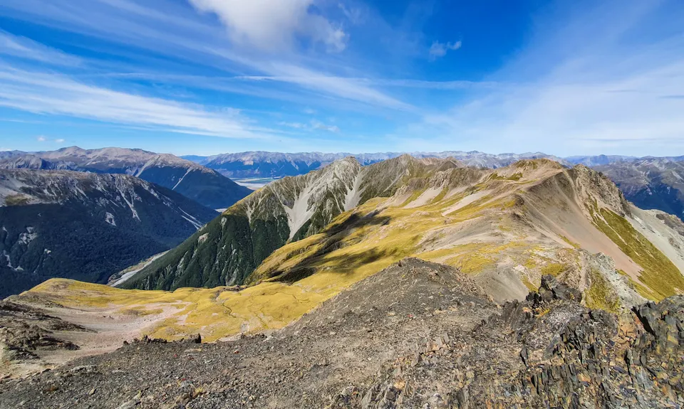
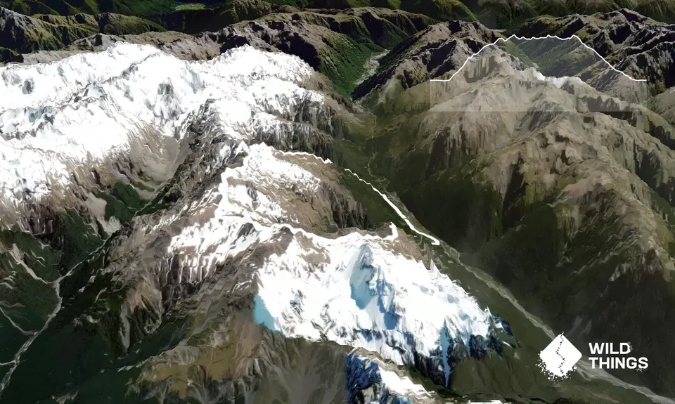
Bealey - Avalanche Traverse
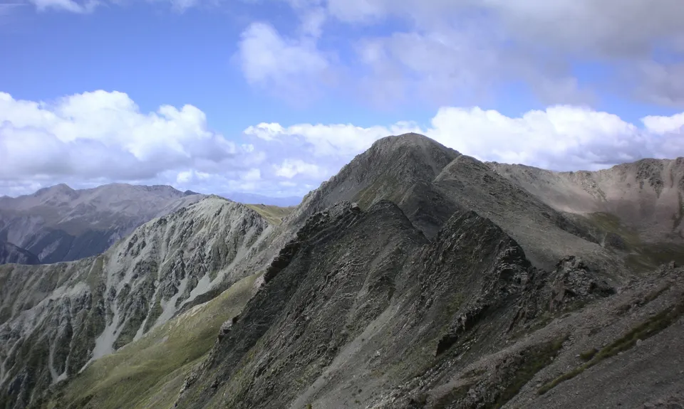
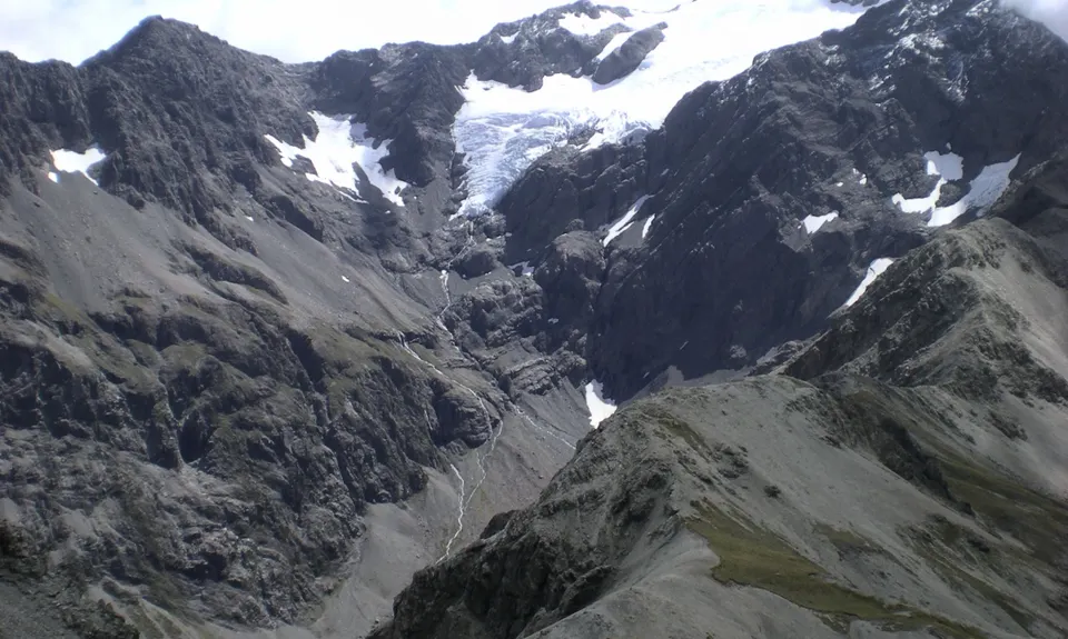
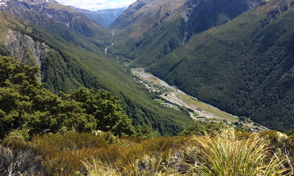
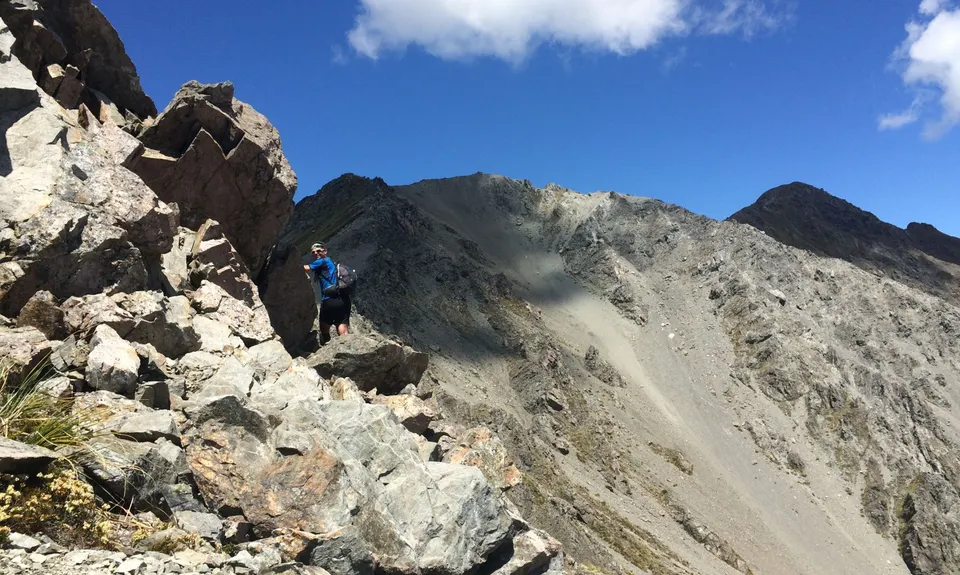
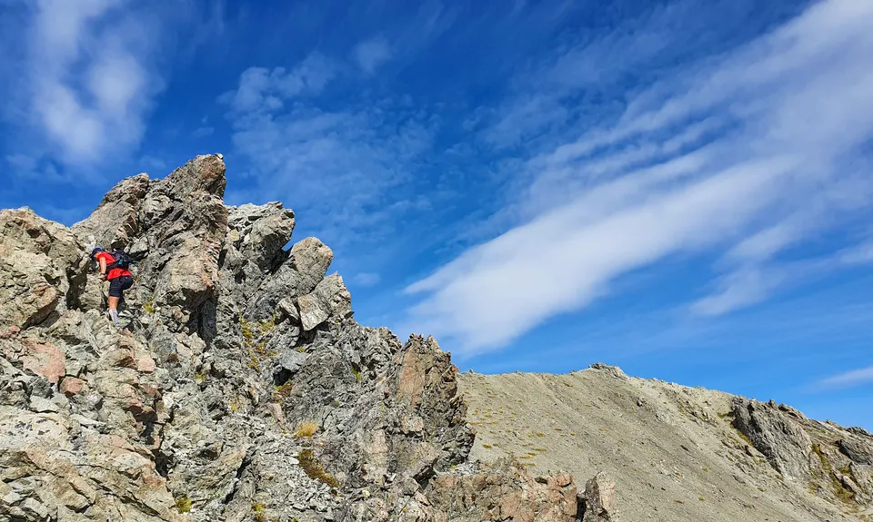
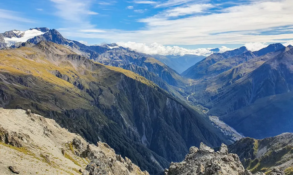
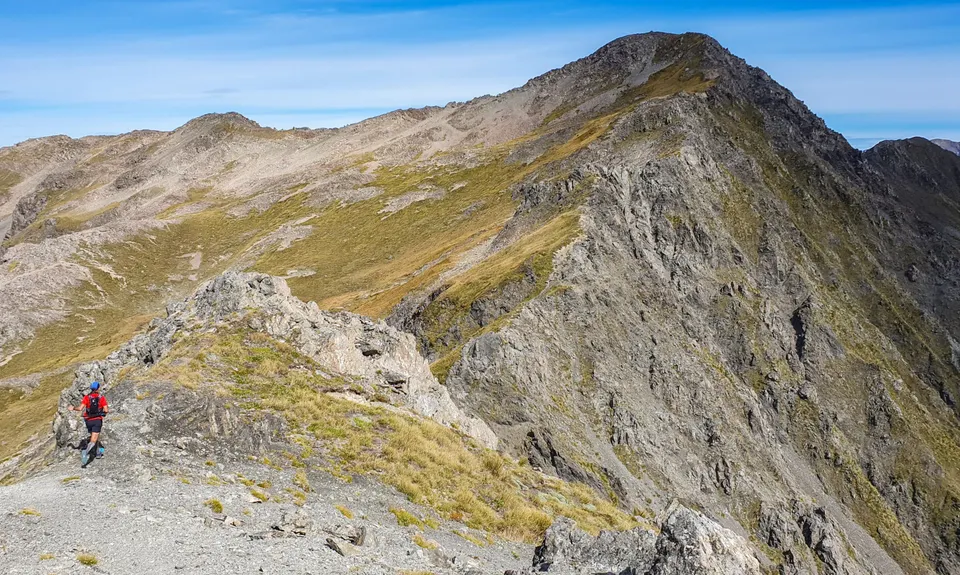
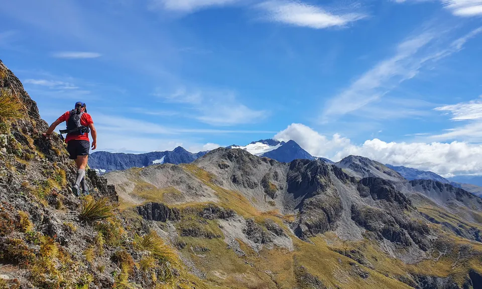
Mount Bealey, Lyall Peak, Avalanche Peak
Mt Bealey Track, Scott's Track
Last Updated: 12th Feb 2025
Open
Grunt Factor: 43 ?
Gnarl Factor: 93 ?
13.1km
1498m
1498m
1836m


Trail Map
This Topo layer only covers NSW/ACT.
Switch to another map layer when viewing outside this area.
Switch to another map layer when viewing outside this area.