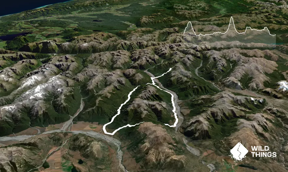
This run takes the Binser - Andrews Route (see also Andrews-Poulter Circuit) as a base and adds a return trip to Ranger Biv.
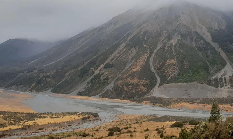
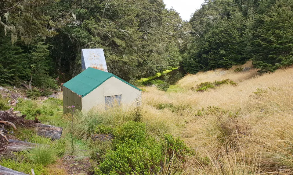
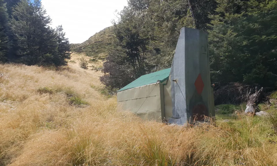
You run over Binser Saddle to the Poulter River. Follow the farm track up 10 km to the old Casey Hut site. Cross the Casey River and continue up the Poulter River for 2 km, cross the Poulter aiming for Fenwick Stream. At the beginning of the gorge in Fenwick Stream there is a track on the true right. Head up this track, on a thin ridge, and through thin beech trees to Ranger Biv. The biv is in the tussock near a small tarn.
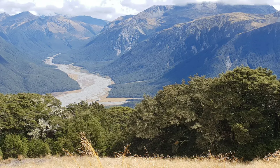
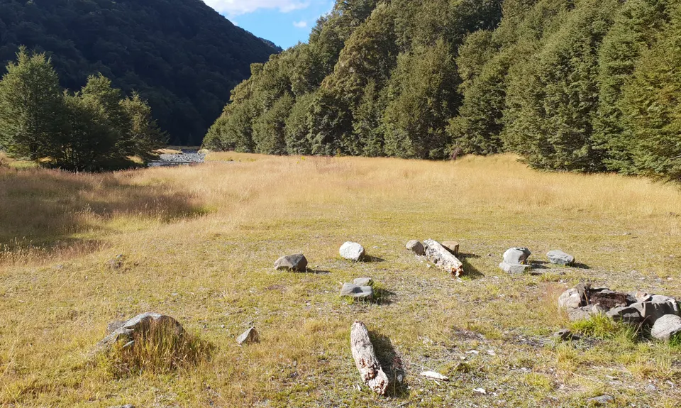
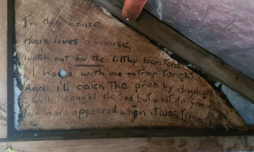
Head up the tussock behind the biv for about 5 mins and get some great views over the Upper Poulter River (you can see out to the flats opposite Minchin Stream). You are now at the half way point or thereabouts. Ranger Biv is an out of the way place. The hut book is original. I was there 10 years ago with a mate tramping. It was about 6 months until the next visit after ours. This Biv has been cared for by Honora Renwick and Frank King. They've cut the track, and made minor repairs to Ranger over the many years. Get Up There! Head back down to the old Casey site, and follow the Andrews Valley Track back to Andrews Shelter via Casey Saddle.
Explore the Upper Poulter River, and visit the remote Ranger Biv.
If you know of any public toilets near the trail start or on the route, please login and then let us know so we can update this section.
Good parking areas.
25 km
22 minutes
Unknown
No
Moderate.
Moderate level of navigation required to find Fenwick Stream. If you've got back country experience, and take a map you'll be fine.
Water freely available. Just make sure you have some before you head up to Ranger. Except for the lower Poulter, it is all mountain streams, so safe to drink. The tarn at Ranger should be filtered or boiled.
This would be very extreme in winter. I would recommend it being a spring / summer trip in good weather.
There are no huts in Andrews valley, and none accessible in Poulter (except for Trust Poulter, which is about 2.5 km up valley from Fenwick Stream).
River crossings of minor streams, and the Casey and Poulter Rivers. Autumn or Winter and wet weather. Pick good calm weather.
Bealey Hotel
Hwy 73, near Waimak Bridge
Venue only 10 mins drive once meeting the main road and the beer was cold!
Do you have another suggestion on where to go afterwards for the best coffee / cake / breakfast / brunch / beer?
Lovely route. Ranger Biv is a great explore and definitely adds a star to the Andrews-Poulter route in my opinion. While my objective was to take it slow, the offshoot added around 3.5 hours for me, so be aware that this part of the route is the slowest travelling. Great directions in the route description.
These overlap with this trail to some degree. You may wish to combine them but please note that to qualify for FKTs on these runs you should record a separate activity for each.
We don't store or share your location; it's only used for these features. You can continue without it, just without distance sorting and live map features.
Send to your phone
Scan the below QR code to open this trail on your phone.
Tip: position the QR code in your phone camera screen.