Wild Things - New Zealand's trail running community
New Zealand's trail running community

Login


don't have an account?

The Bloody Limit, Canterbury

Trail Directory proudly supported by Further Faster

Update Your Header Picture

The Bloody LimitVery Experienced

Submitted by Tony Sharpe

Info Info
Map Loading

Trail Information

11.50km

1400m

1400m


Canterbury

Arthurs Pass

Back country - remote

Loop

Mountainous

Native bush
Riverside
Open tussock/grasslands
Open ridges/tops

Very Experienced

6:00 (Slow)
4:30 (Moderate)
3:00 (Fast)

-18.7%

+26.1%

Download PDF Guide

Fastest Known Times (FKTs)

Please set your gender to see your position on the FKT leaderboards.

Men

Women

Filter FKTs

The more , the harder the FKT will be to beat. Learn about Fastest Known Times.

Missing your time?

Register or login as a VIP and get yourself on the FKT leaderboard!

Register Now

Description

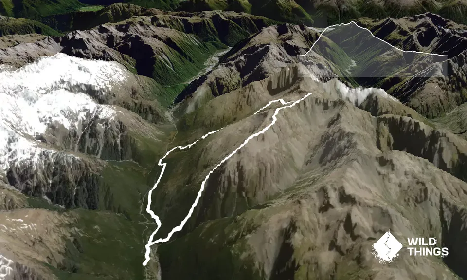
Its a push to call the ascent of Cassidy and Blimit a run, but the downhill will certainly allow plenty of that. This is a really technical and exposed route along the top, you'll want to consider your experience levels and maybe try out other circuits in the area first, like Avalanche Peak for example. This one is significantly harder than Avo Peak. Blimit gets is name as an abbreviation - early climbers/ explorers referred to its summit push as "The Bloody Limit". You have been warned!

Start up Con's Track from the bridge over the Bealey River at the start of the Punchbowl falls walk. You'll quickly be into your uphill gears following a well marked trail to the bushline. From here be careful to take the right route, going the wrong way will see you bluffed.

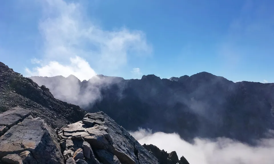
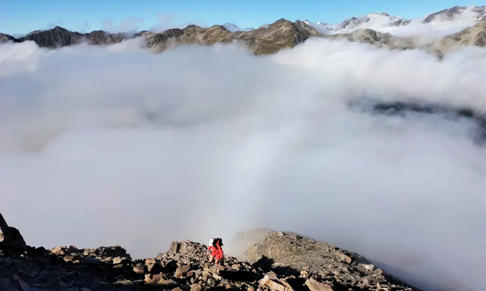
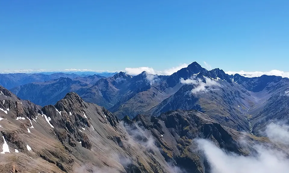
From the bushline follow goat trails and maybe a cairn or two under the bluffs slowly climbing above screes and tussock slopes. A gully is met after about 300m, this ascends steeply on loose rocks to pass between the bluffs to join the wide Mt Cassidy ridge above the cliff-lines. Be careful with loose boulders, and the massive drop into Punchbowl Creek. Then follow the ridge for a kilometre until a slope climbing a side spur confronts you. If it is snow covered take care to put your fall-line away from the Punchbowl Valley (550m drop). Joining the spur leads directly to Mt Cassidy summit. First peak bagged!

From the summit of Cassidy the ridge narrows and steepens as it descends to a saddle, then climbs over a buttress towards Mt Blimit. The second saddle at the foot of Mt Blimit will also be your descent route to Bill's Basin - look for the tarns .

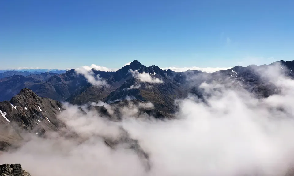
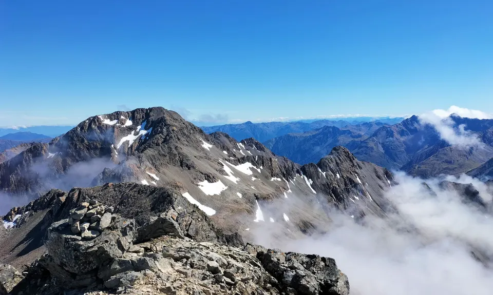
Climbing Mt Blimit is not compulsory, however is very worthwhile for the views. Ascend the true-right side of the ridge, avoiding where possible the huge exposure into Punchbowl Creek. This ridge is loose, maybe corniced in winter / spring, and should not be followed beyond the summit of Mt Blimit. A traverse of the northern ridge to Temple Col is for experienced climbers only - not walkers or runners!

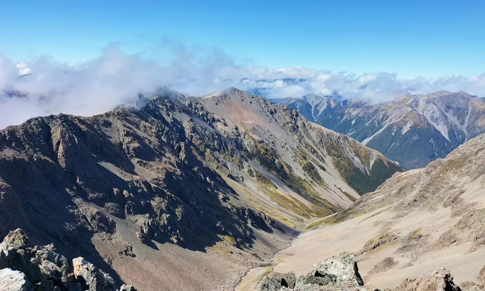
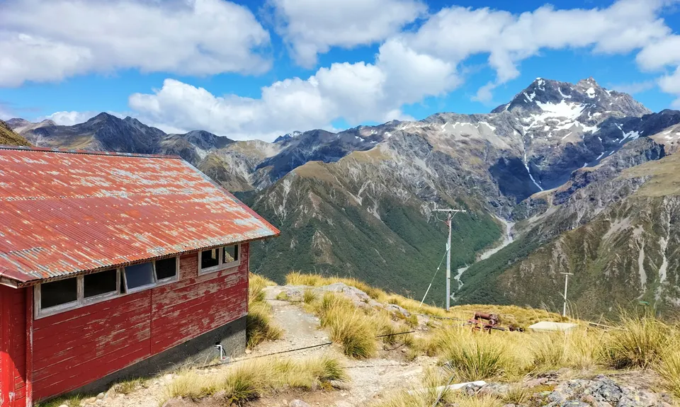
Descend the ridge back to the first saddle south. From here a scree slope descends directly to the large tarn in Bill's Basin. Skirt around the tarn heading northwest towards the western spur of Mt Blimit. Do not descend directly to Temple Basin Ski-field. Once the wide back of the spur is joined, follow it downwards until Page Shelter becomes visible on its northern escarpment. Several scree gullies descend towards the shelter, follow these, choosing to slowly traverse west as well towards the track that leads to Page Shelter from the main ski-field. Once the track is gained it is an easy descent to the ski-field, and then the Temple Basin track back to highway 73.

Finish off following the wide and well developed Arthurs Pass Trail back to the village - your adrenaline should really be pumping as you speed back to 'town' and a well earned beverage at the Wobbly Kea - your knees are likely to still be wobbling as you contemplate country you have just traversed!


Trail Community

Find people who are interested in this run.

You must register or login to view this content.

Features of interest

Bag 2 of Arthurs Pass's more challenging peaks
Descend Temple Basin Skifield
Devils Punchbowl waterfall nearby


Make Up of Run

Untracked / Route only: 20%

Technical Single Track: 50%

Moderate Single Track: 20%

Easy Single Track: 10%


Route Data

Reviews:

You must register or login to view this content.


Overlapping Runs

The following trails overlap with this run to some degree. You may wish to combine them but please note that to qualify for FKTs on these runs you should record a separate Strava activity for each


Photos:

You must register or login to view this content.

Your Trail Wishlist

All the runs that are on your To Do list (no limit).

Add to wishlist view wishlist

Your Trail Dreamlist

The runs you most want to do (limited to 10).

Add to dreamlist view dreamlist

Wild Explorers

I did it!
  • Access

    Devils Punchbowl Falls Carpark

    Plenty of parking around Arthurs Pass Village

    0 km

    1 minutes

    No

    No

  • Staying Safe

    Extreme.

    Have a map and a really good route guide. This one is for experienced mountain goats in good weather only.

    Patchy.

    Waterproof leggings, Thermal leggings, Lightweight fleece top, Long-sleeved thermal top, Seam-sealed waterproof jacket, Windproof jacket, Gloves, Beanie/thermal headwear, Personal Locator Beacon (PLB), Whistle, First aid kit, Extra food for emergencies, Survival bag, Cellphone, Compass, Map, Crampons / microspikes (for winter conditions), Gaiters.

    Bring your own until Temple Basin

    Not recommended in snow/ winter/ spring. Avalanche prone, and for mountaineers only at that time. Even in summer be prepared to take ice axe and crampons if there is snow around the tops

    Many hazards here - height, loose rocks, snow, ice, vertigo. As per the above, for the more experienced mountain goats really

  • Post run indulgence

    The Wobbly Kea
    Arthurs Pass Village
    Monteiths beer!

  • Sponsor this trail

    If you are interested in learning about sponsorship opportunities, please get in touch below:

    Submit

Got a favourite trail? Tell us about it.

Share the love and add your favourite trail(s) to our growing trail directory.

Submit A Trail

Become a member today

Start enjoying the many benefits to becoming a member of our thriving community.

Become a member

Great brands at great prices with our VIP member's discount

Stay up to date

Sign up to our newsletter for latest offers and trail guides

Share this trail with a friend:

VIP Membership

Please register as a VIP or login to your VIP account to view this content.

Cancel Login Register

Membership Required

You can see up to three trail guides without being logged in but after that we require you to be logged in to your Free or VIP account. If you don’t yet have an account you can register here.

Login Register