Last Updated: 21st Jan 2025
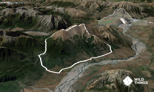
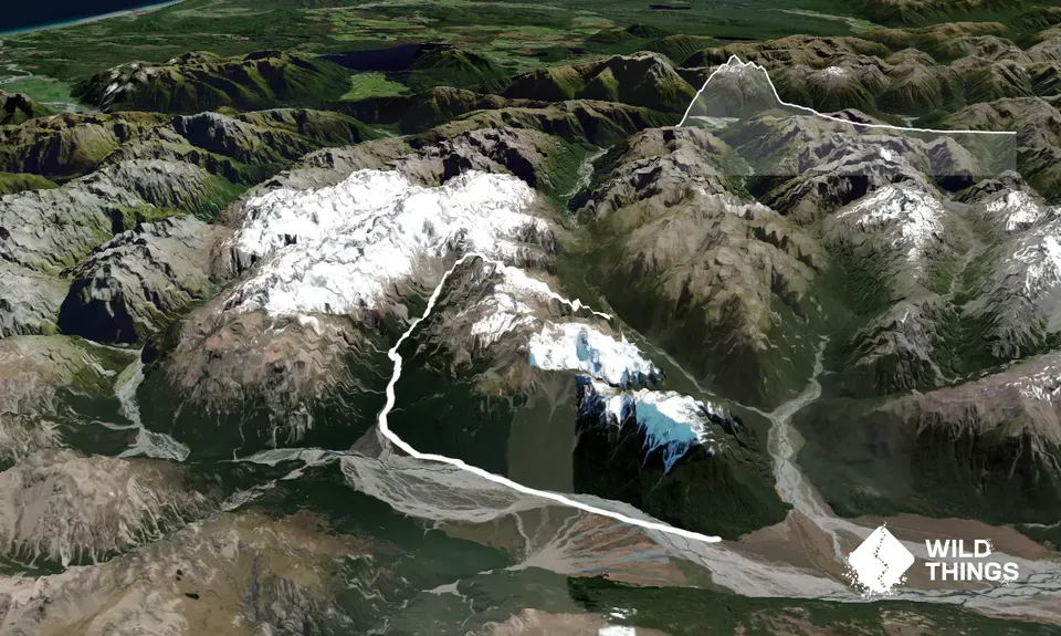
Avalanche Peak - Crow River
Last Updated: 21st Jan 2025
Open
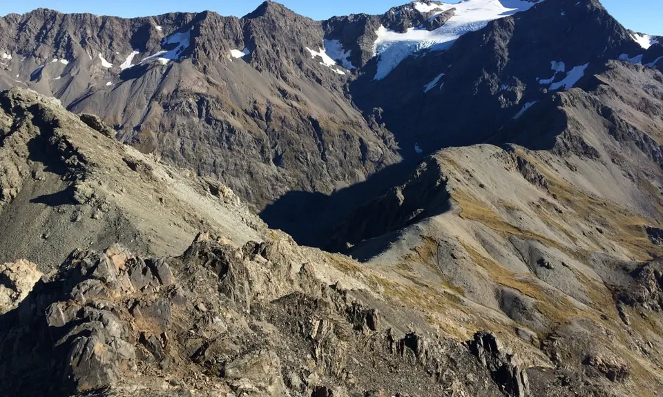
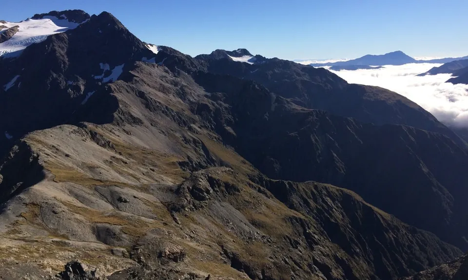
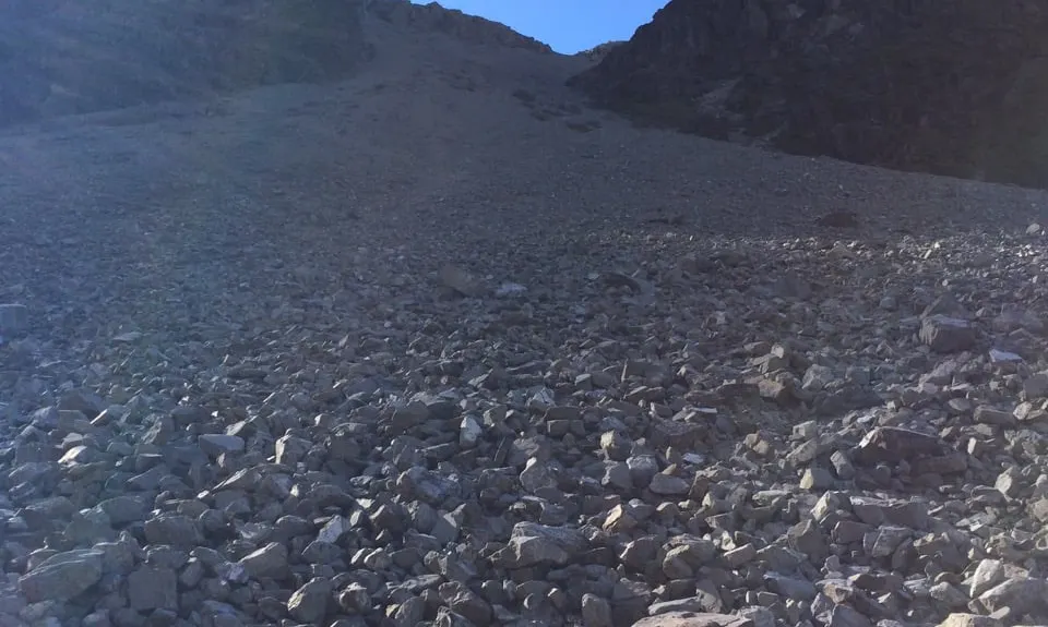
Grunt Factor: 44 ?
Gnarl Factor: 87 ?
20.0km
1150m
1270m
1833m
Trail Map
This Topo layer only covers NSW/ACT.
Switch to another map layer when viewing outside this area.
Switch to another map layer when viewing outside this area.