Last Updated: 21st Sep 2023
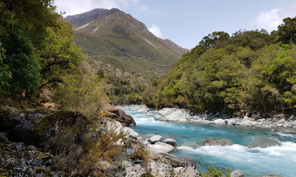
Dash, Bash, Splash and Dash Harman Pass
Last Updated: 21st Sep 2023
Open
Grunt Factor: 77 ?
Gnarl Factor: 53 ?
51.9km
1280m
1827m
1321m


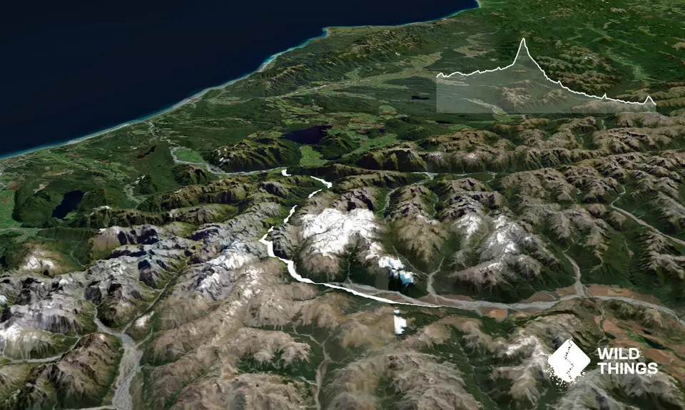
Trail Map
This Topo layer only covers NSW/ACT.
Switch to another map layer when viewing outside this area.
Switch to another map layer when viewing outside this area.


