Last Updated: 31st Jan 2025
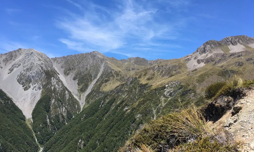
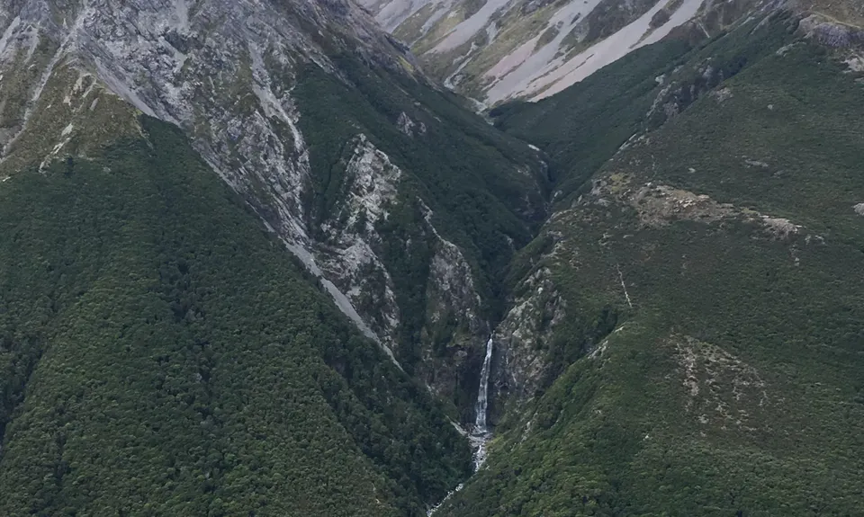
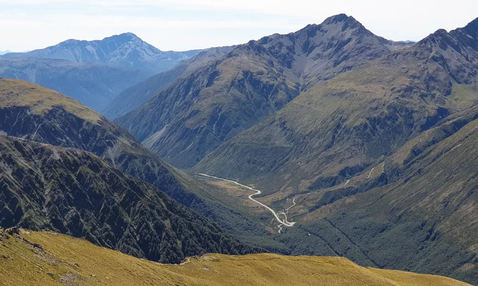
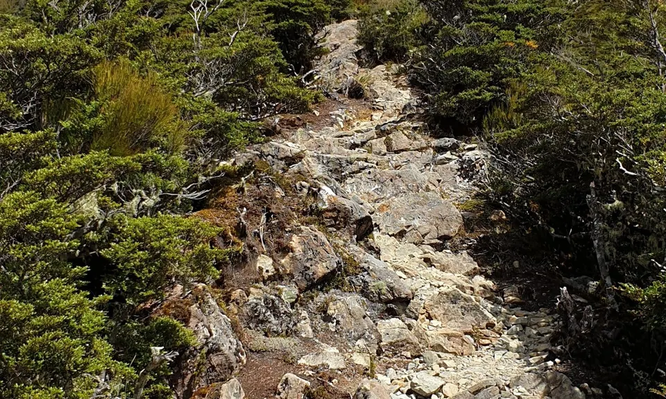
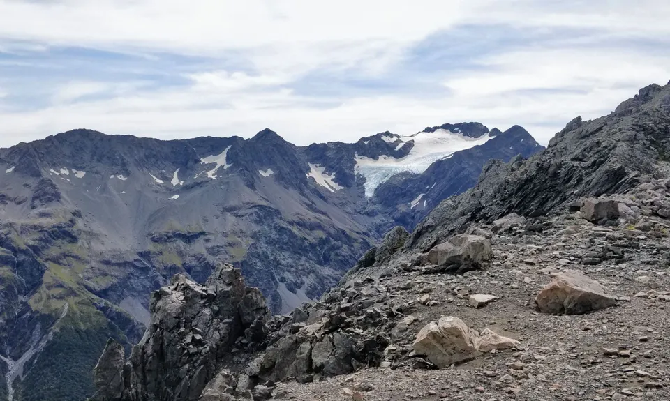
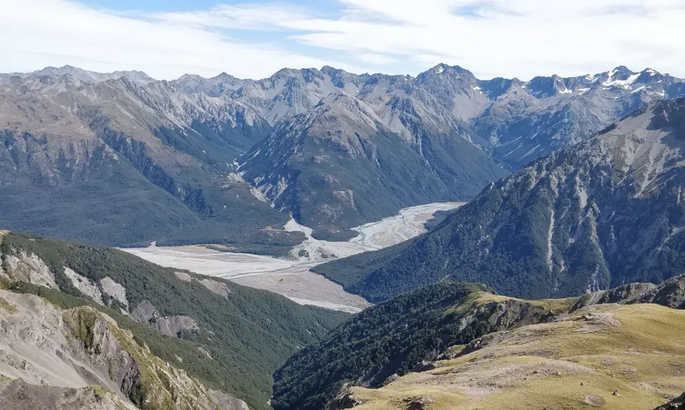
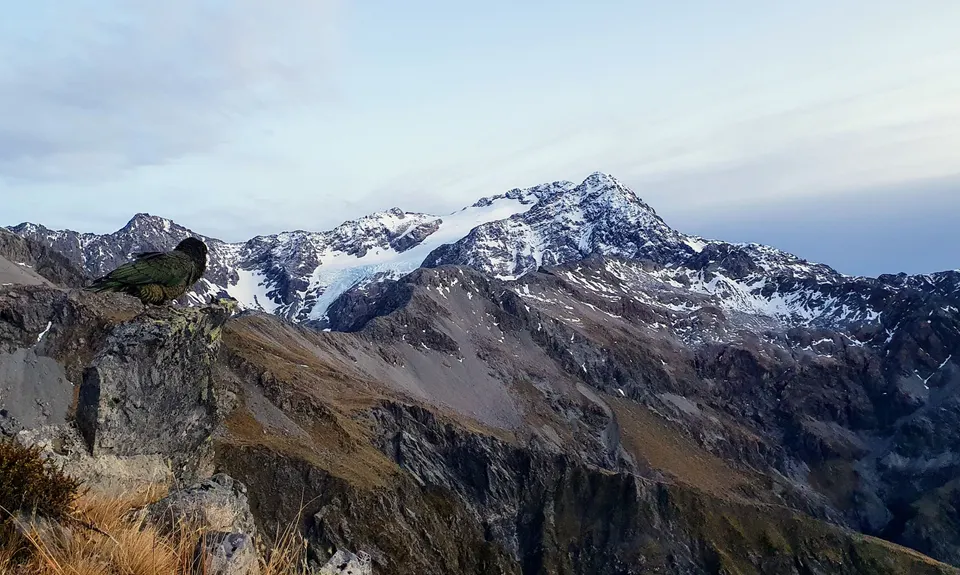
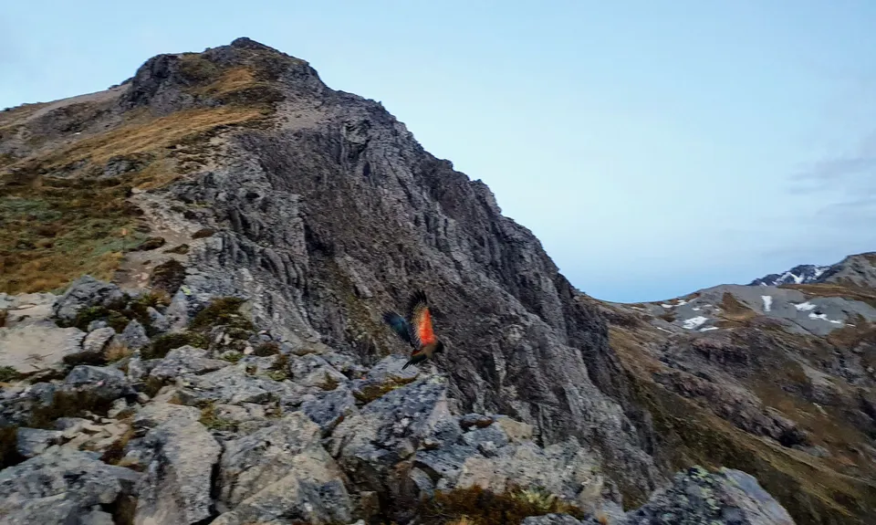
Avalanche Peak
Last Updated: 31st Jan 2025
Open
Grunt Factor: 28 ?
Gnarl Factor: 69 ?
8.7km
1075m
1075m
1833m
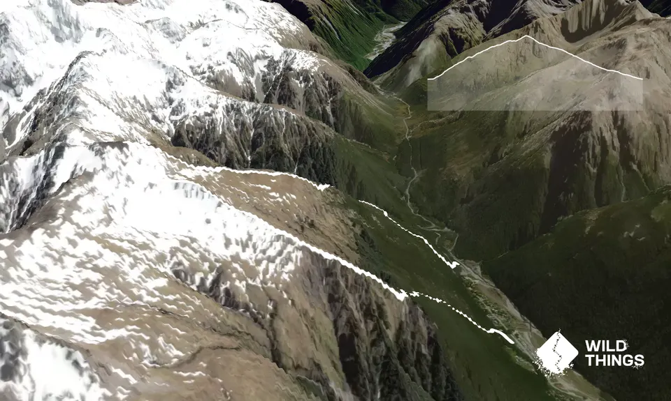
Trail Map
This Topo layer only covers NSW/ACT.
Switch to another map layer when viewing outside this area.
Switch to another map layer when viewing outside this area.


