Last Updated: 26th Apr 2024
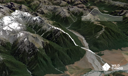
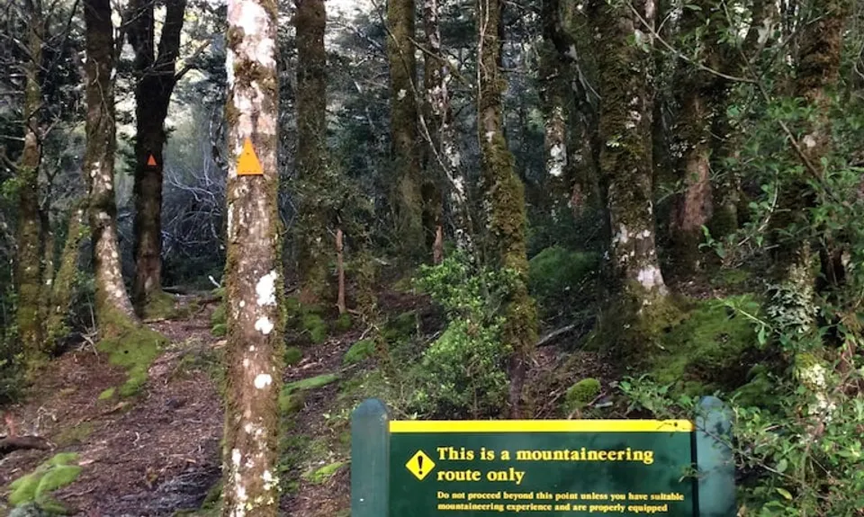
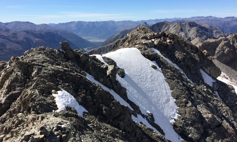
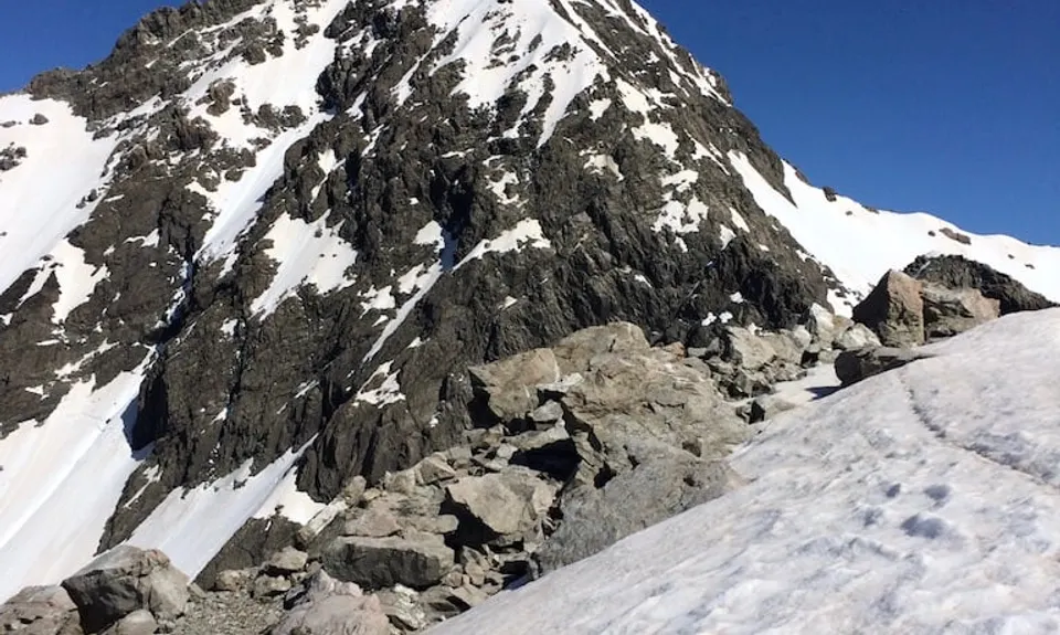
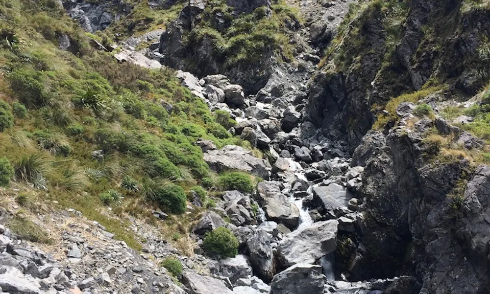
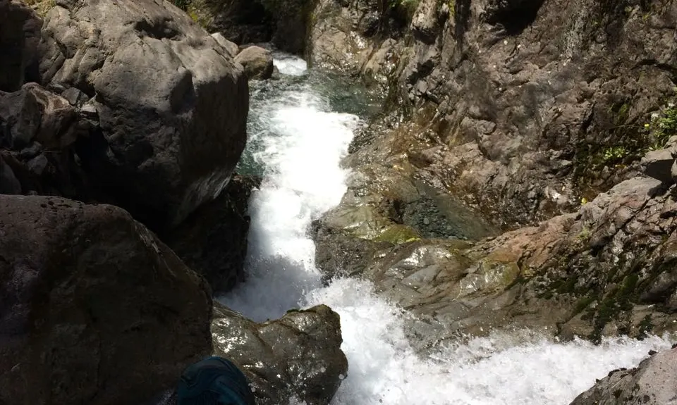
Rome Ridge/Rough Creek Alpine Circuit
Last Updated: 26th Apr 2024
Open
Grunt Factor: 56 ?
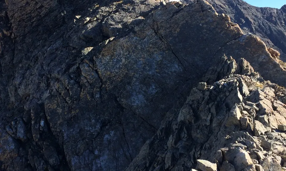
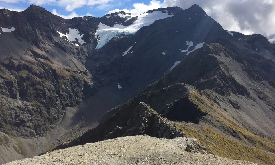
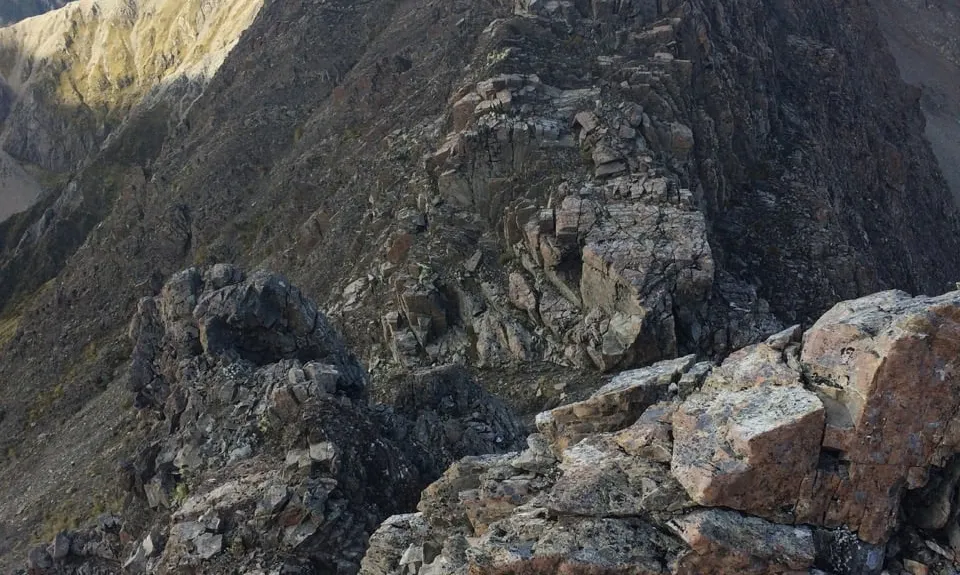
Gnarl Factor: 96 ?
16.0km
1500m
1500m
1836m

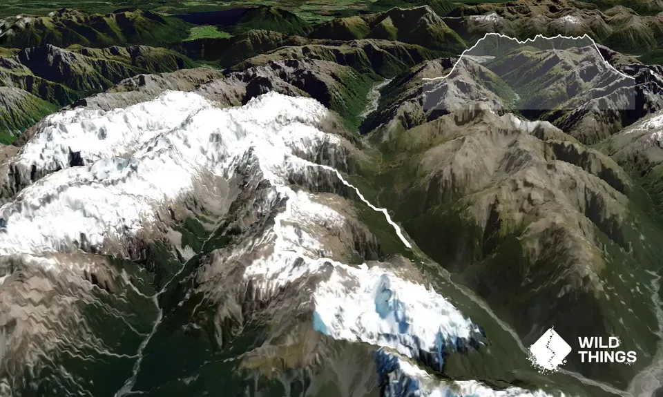
Trail Map
This Topo layer only covers NSW/ACT.
Switch to another map layer when viewing outside this area.
Switch to another map layer when viewing outside this area.