Last Updated: 25th Nov 2024
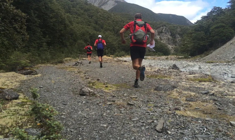
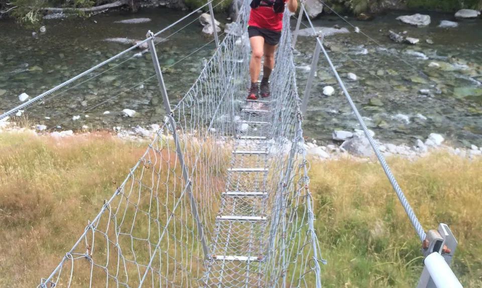
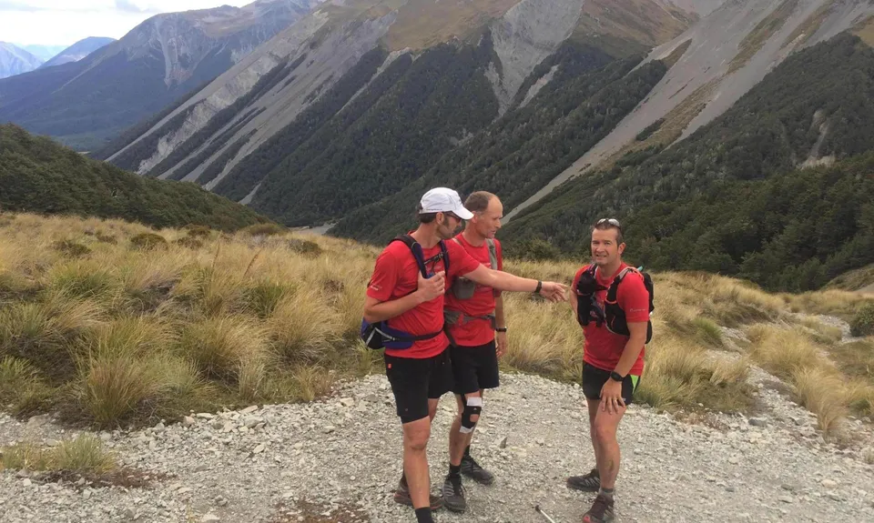
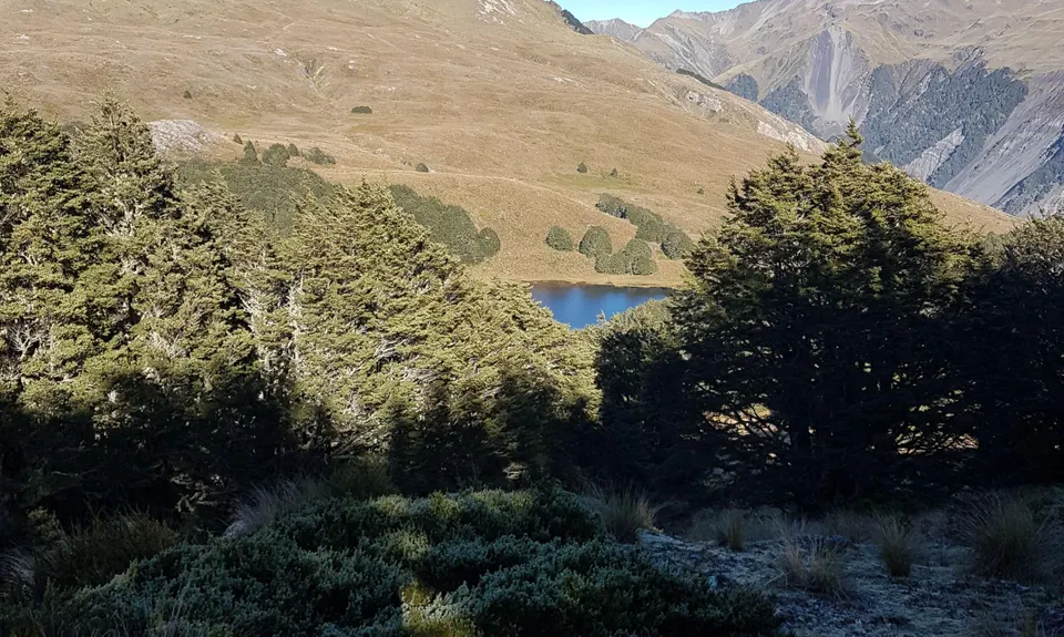
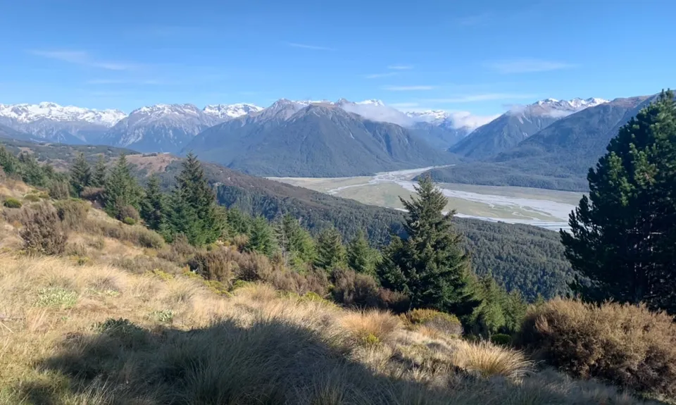
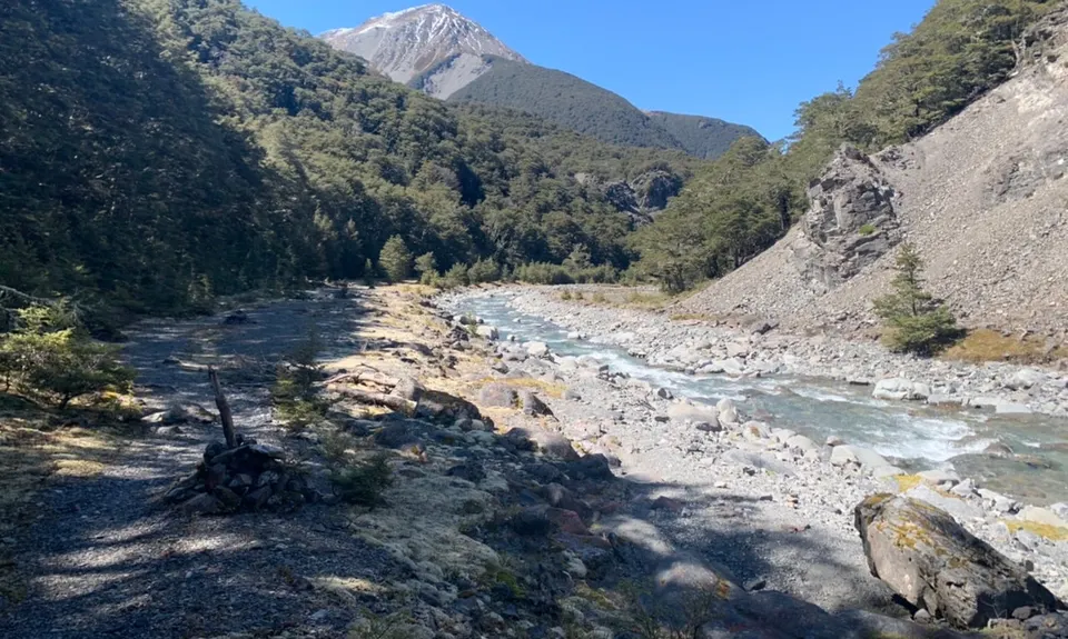
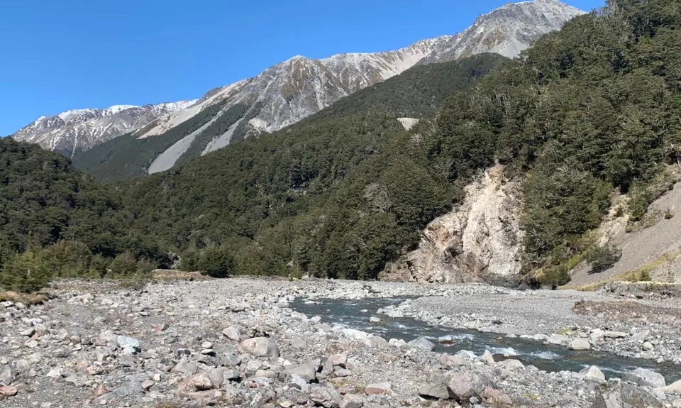
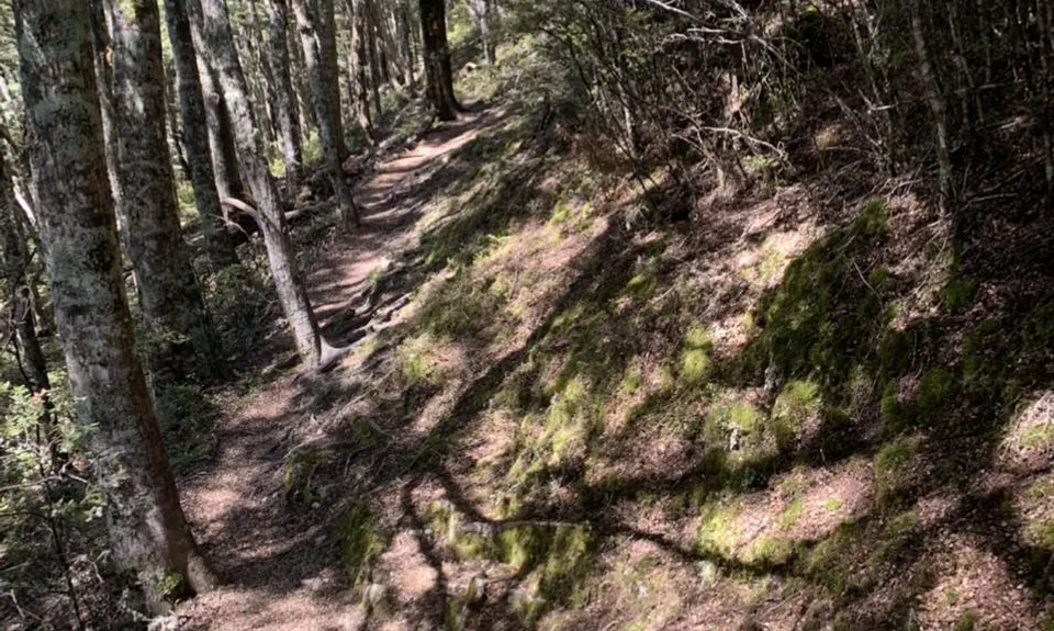
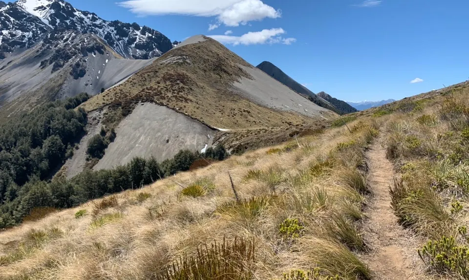
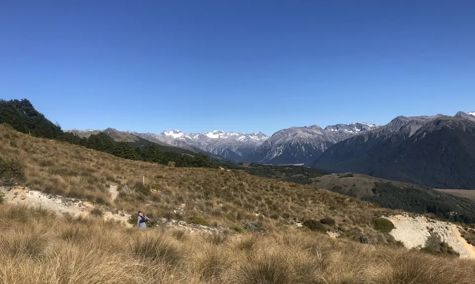
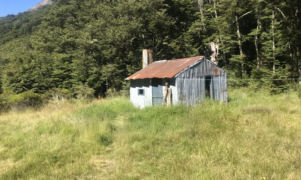
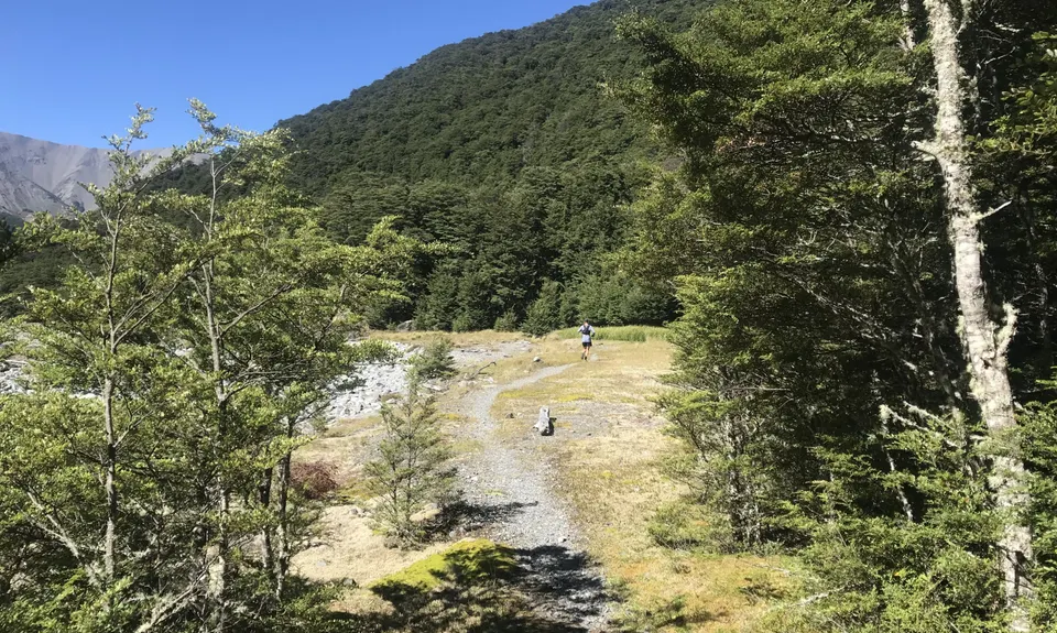
Cass-Lagoon Trail
Last Updated: 25th Nov 2024
Open
Grunt Factor: 61 ?
Gnarl Factor: 57 ?
33.5km
1340m
1400m
1326m

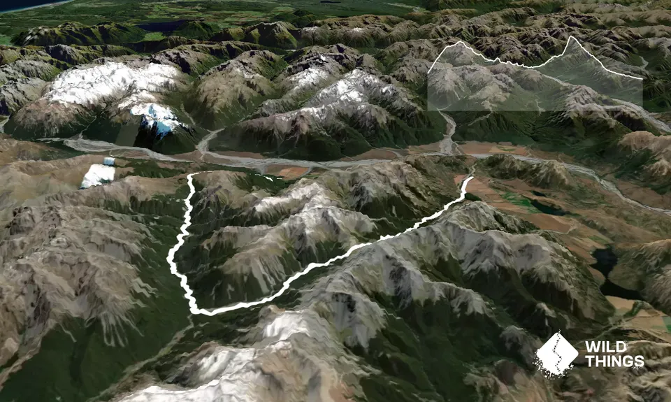
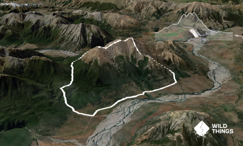
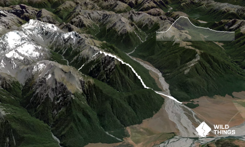
Trail Map
This Topo layer only covers NSW/ACT.
Switch to another map layer when viewing outside this area.
Switch to another map layer when viewing outside this area.