Last Updated: 4th Jun 2025
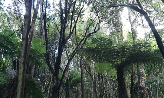
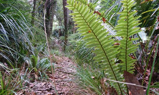
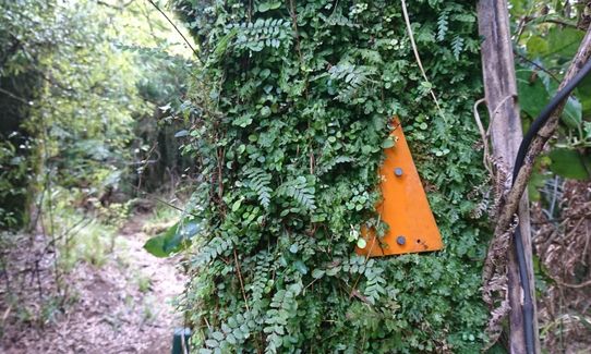
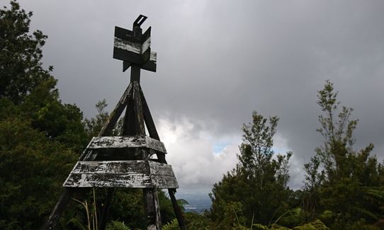
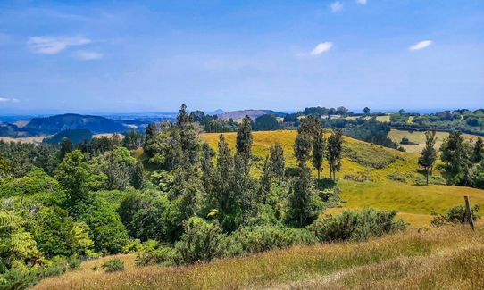
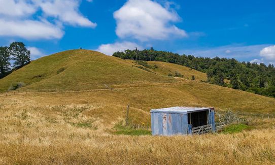
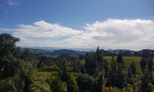
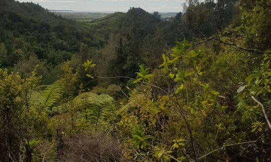
Otawa Lodge & Otawa Trig Loop
Last Updated: 4th Jun 2025
Open
Grunt Factor: 24 ?
Gnarl Factor: 36 ?
19.2km
645m
645m
590m
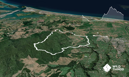
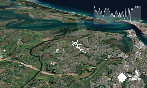
Trail Map
This Topo layer only covers NSW/ACT.
Switch to another map layer when viewing outside this area.
Switch to another map layer when viewing outside this area.