Last Updated: 21st Sep 2023
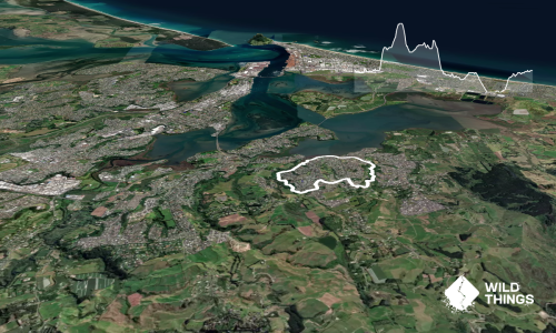
Mokoihaha Track Plus
Last Updated: 21st Sep 2023
Open
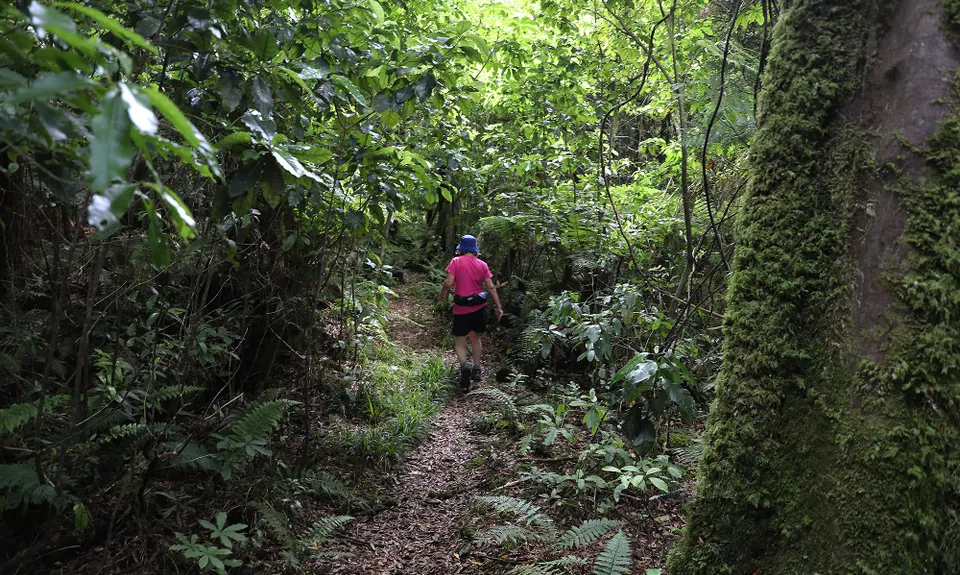
Grunt Factor: 15 ?
Gnarl Factor: 43 ?
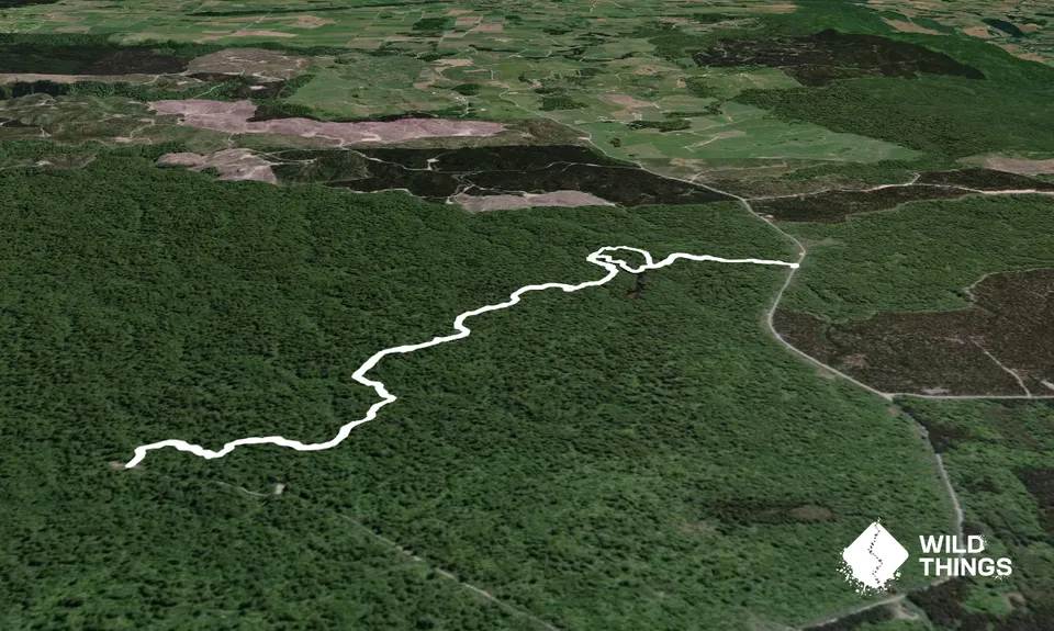
8.6km
385m
385m
685m
Trail Map
This Topo layer only covers NSW/ACT.
Switch to another map layer when viewing outside this area.
Switch to another map layer when viewing outside this area.