Last Updated: 8th Aug 2025
Twice Over The Kamais
From Whakamarama to Wairere Falls
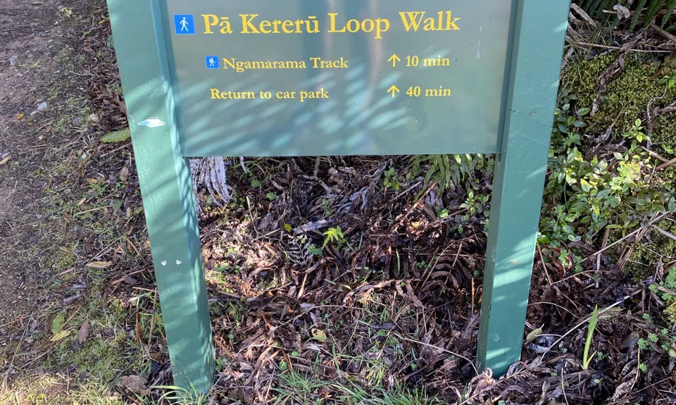
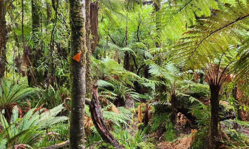
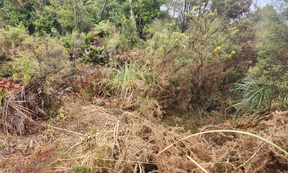
Ngamarama track, Wairere Track, North South track
Last Updated: 8th Aug 2025
Open
Grunt Factor: 40 ?
Gnarl Factor: 58 ?
28.5km
680m
730m
540m
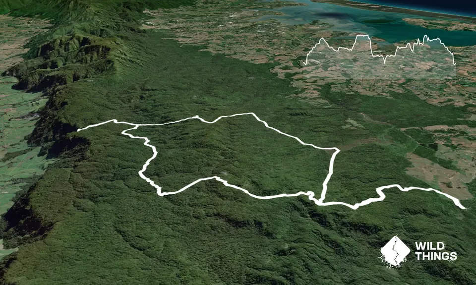
Trail Map
This Topo layer only covers NSW/ACT.
Switch to another map layer when viewing outside this area.
Switch to another map layer when viewing outside this area.


