Last Updated: 24th May 2026
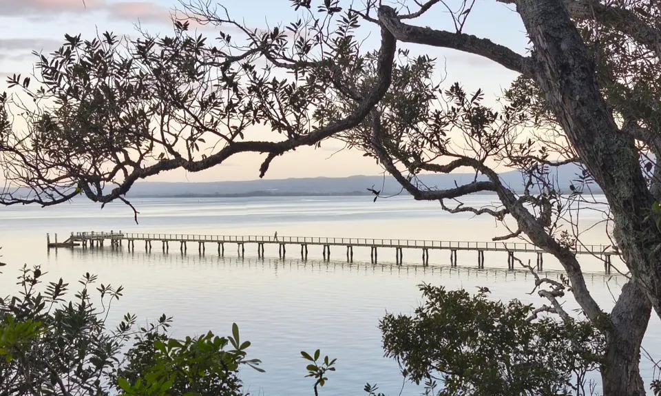
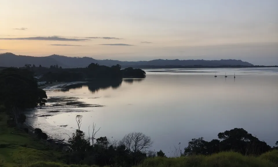
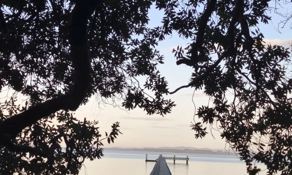
Kauri Point Kaper
Last Updated: 24th May 2026
Grunt Factor: 6 ?
Gnarl Factor: 18 ?
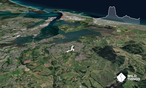
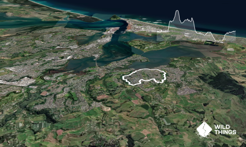
6.2km
85m
85m
36m
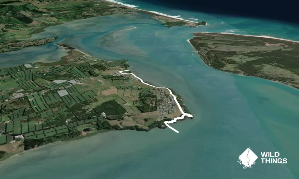
Trail Map
This Topo layer only covers NSW/ACT.
Switch to another map layer when viewing outside this area.
Switch to another map layer when viewing outside this area.