Last Updated: 18th Aug 2025
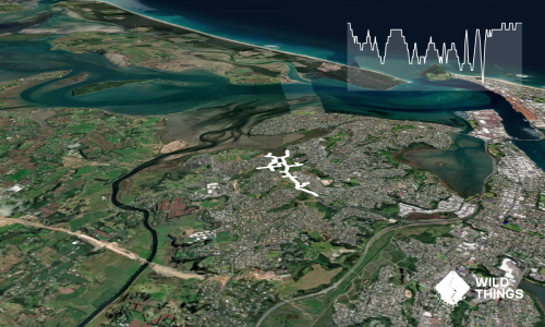
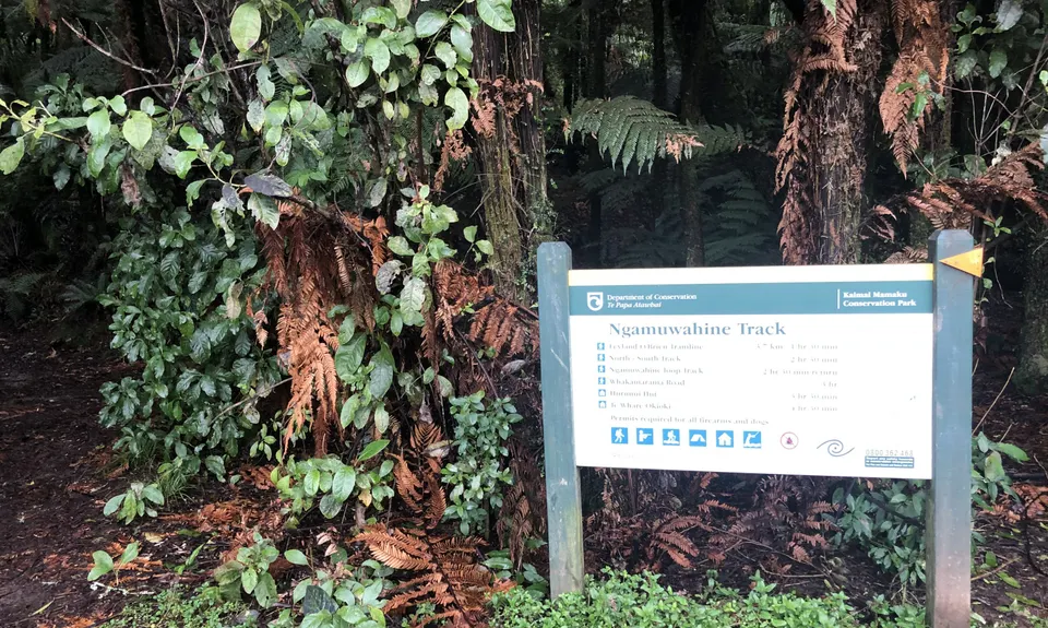
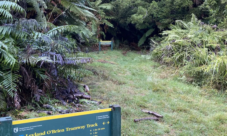
Ngamuwahine - Bobs Loop
Last Updated: 18th Aug 2025
Open
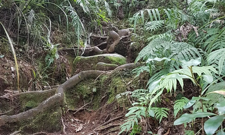
Grunt Factor: 17 ?
Gnarl Factor: 57 ?
10.3km
370m
370m
367m
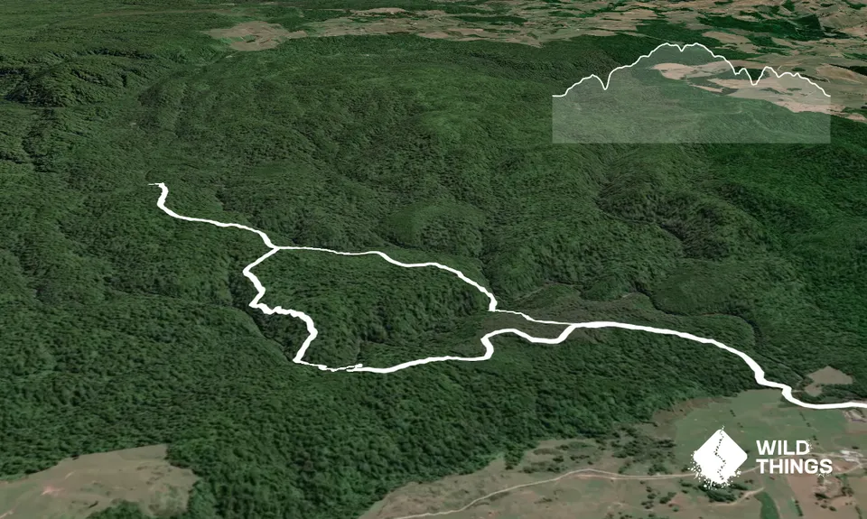
Trail Map
This Topo layer only covers NSW/ACT.
Switch to another map layer when viewing outside this area.
Switch to another map layer when viewing outside this area.