Last Updated: 6th Apr 2024
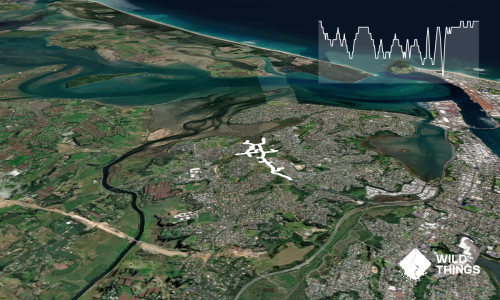
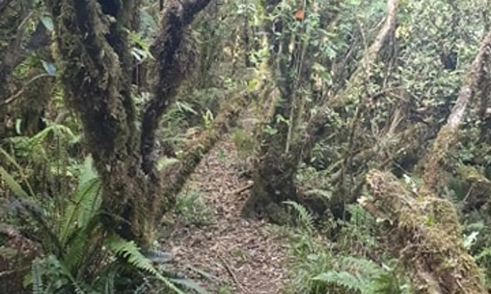
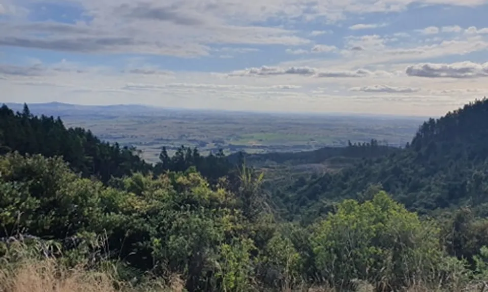
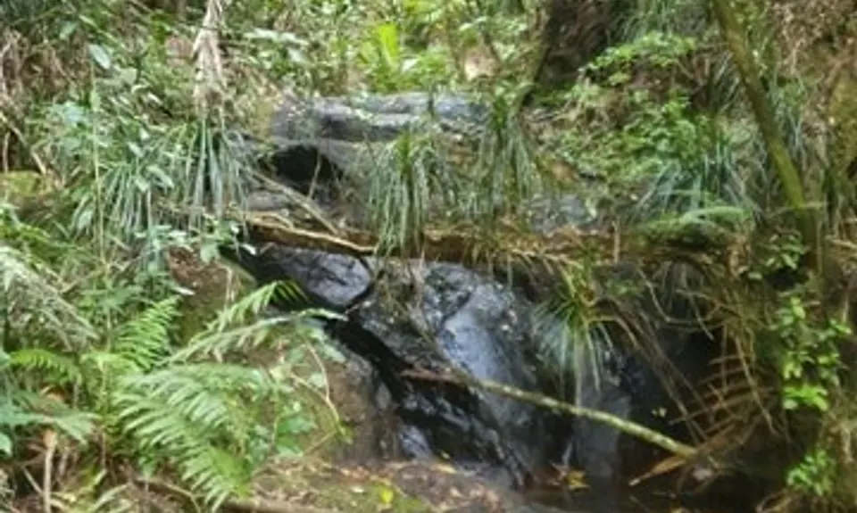
Eliza Mine Climb
Last Updated: 6th Apr 2024
Open
Grunt Factor: 29 ?
Gnarl Factor: 71 ?
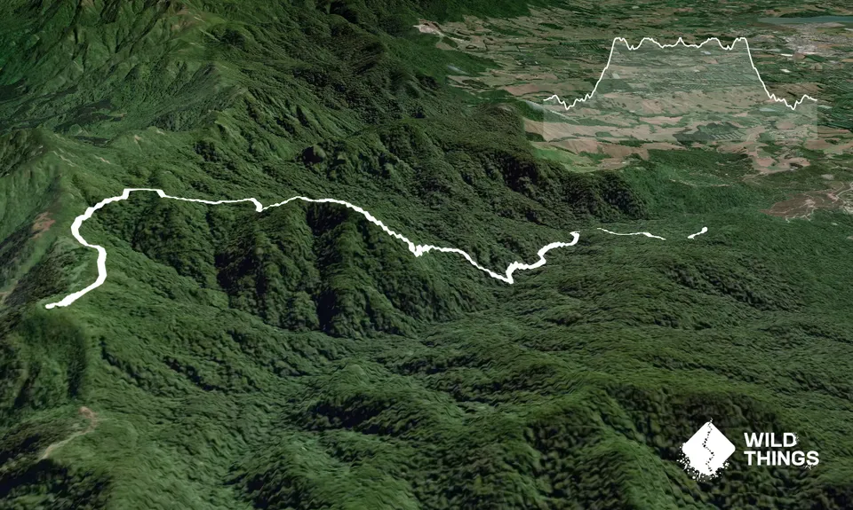
11.9km
950m
950m
588m

Trail Map
This Topo layer only covers NSW/ACT.
Switch to another map layer when viewing outside this area.
Switch to another map layer when viewing outside this area.