Last Updated: 16th Jan 2025
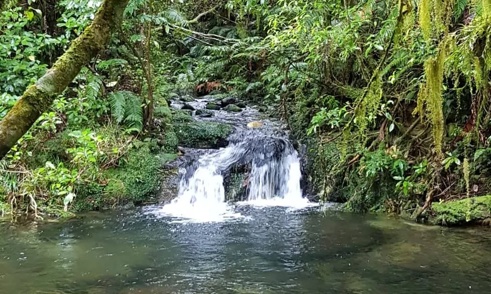
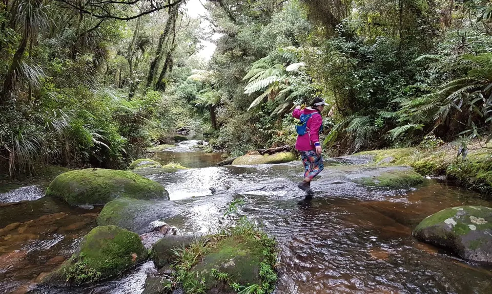
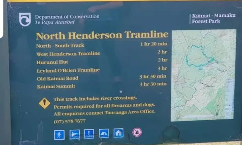
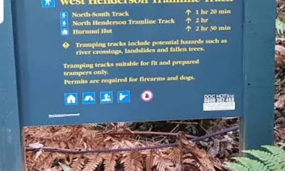
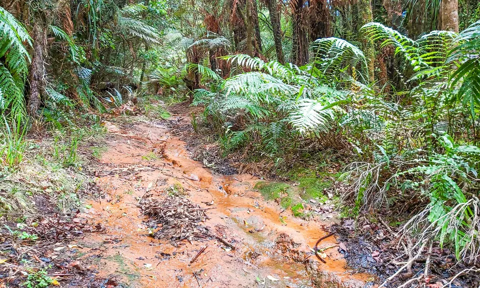
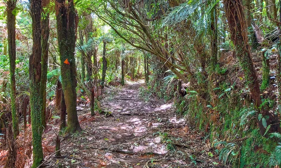
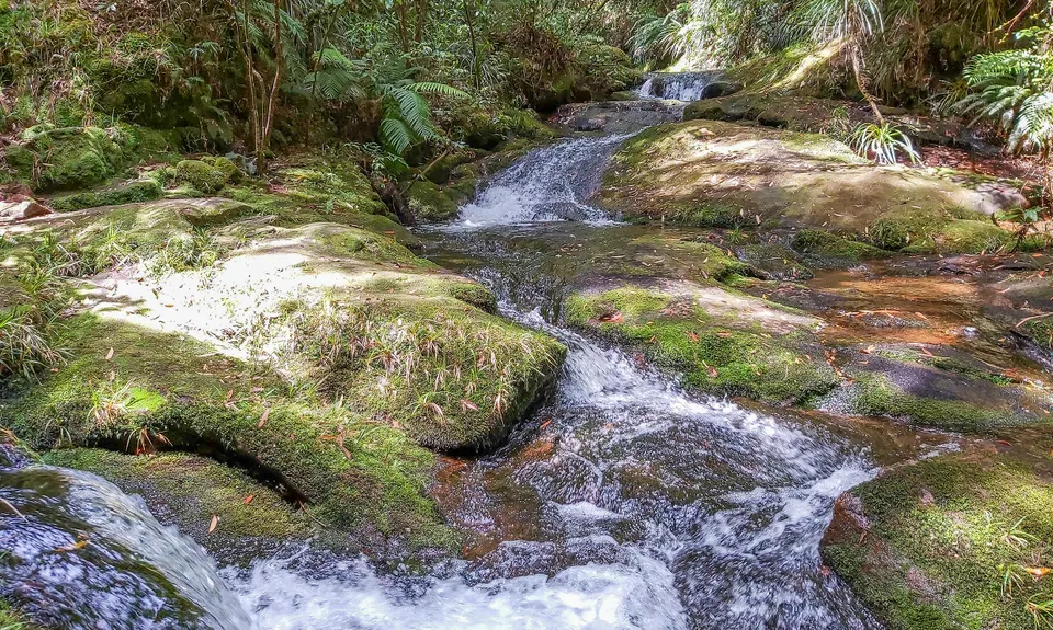
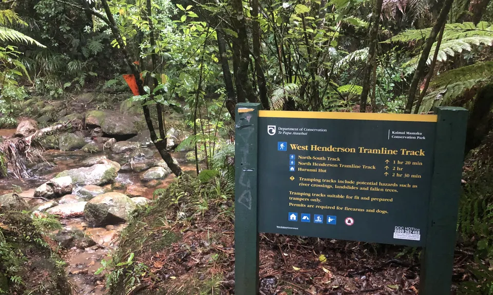
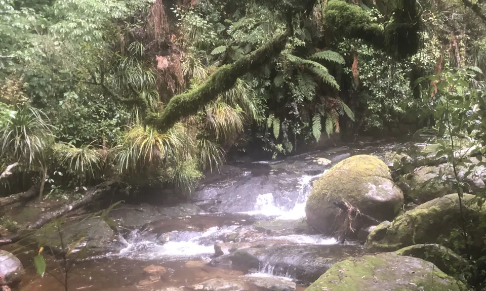
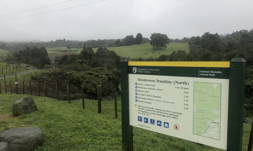
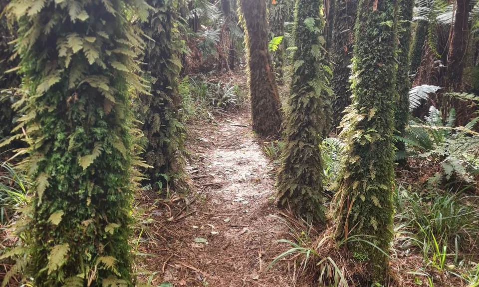
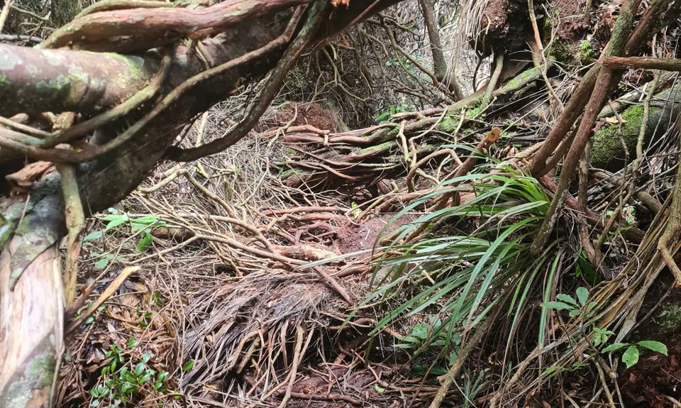
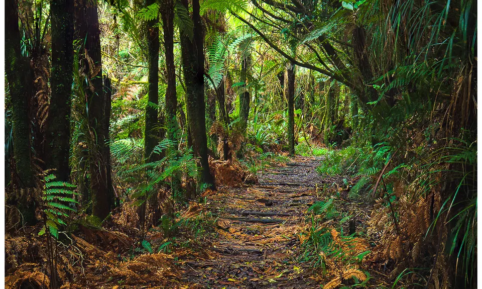
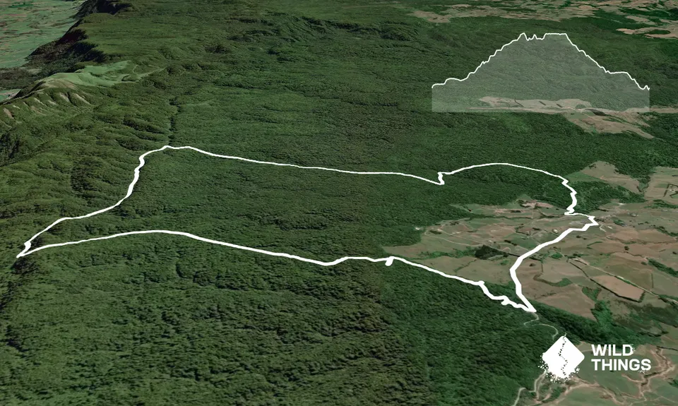
Henderson Tramline - Kaimai
Last Updated: 16th Jan 2025
Open
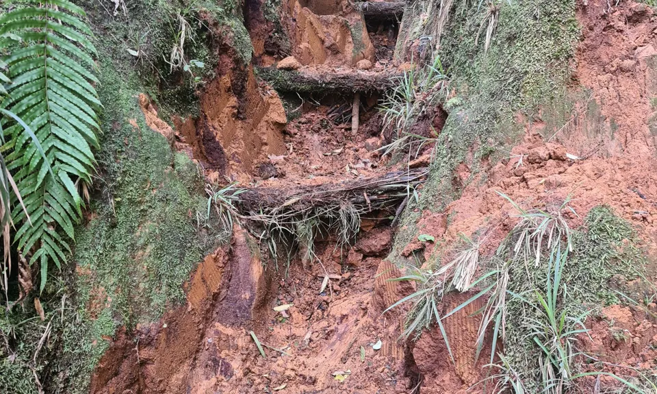
Grunt Factor: 16 ?
Gnarl Factor: 33 ?
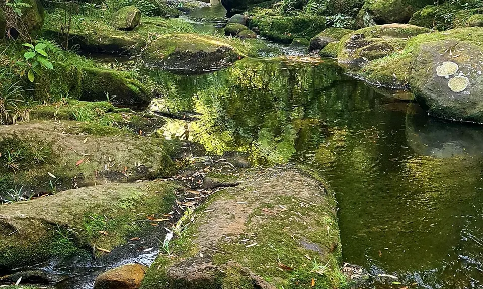
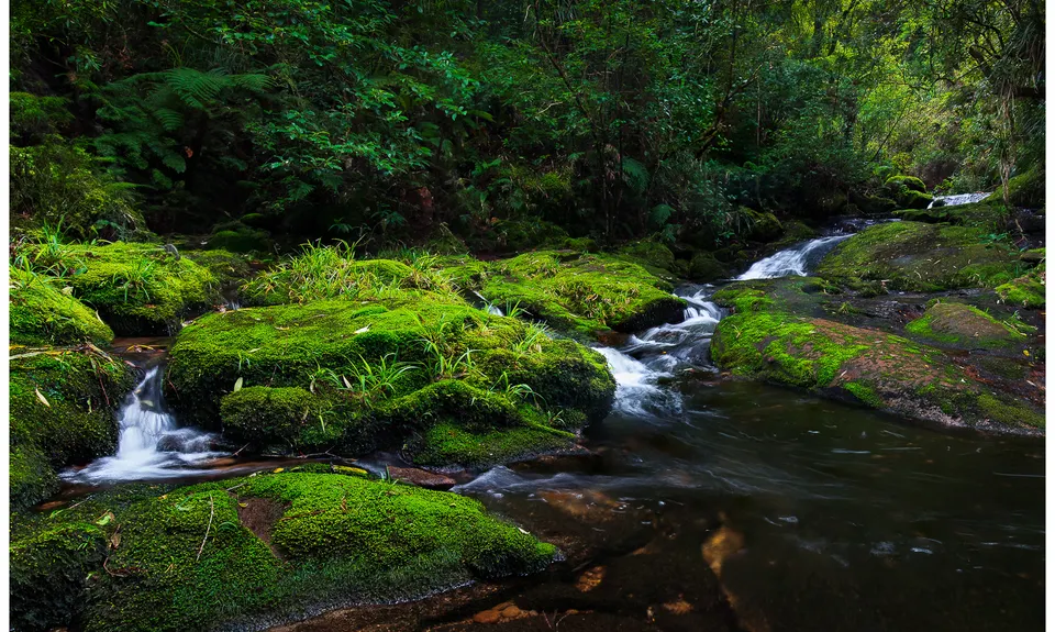
12.0km
365m
365m
604m

Trail Map
This Topo layer only covers NSW/ACT.
Switch to another map layer when viewing outside this area.
Switch to another map layer when viewing outside this area.


