Last Updated: 22nd Mar 2025
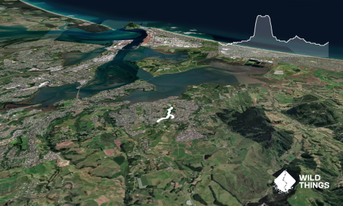
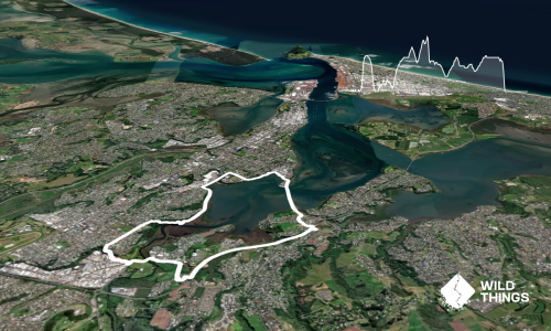
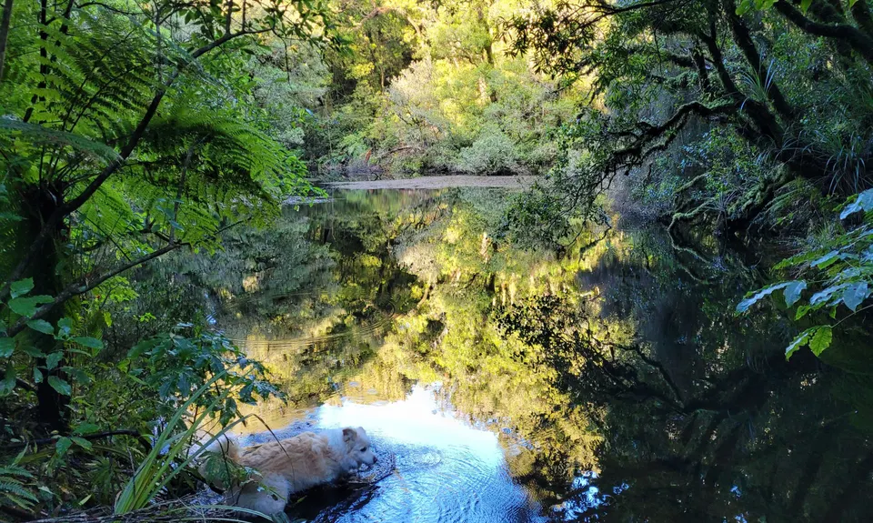
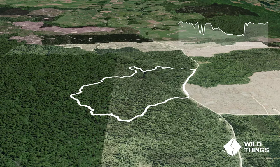
Lake Rotohokahoka
Last Updated: 22nd Mar 2025
Open
Grunt Factor: 14 ?
Gnarl Factor: 36 ?
4.6km
12m
120m
688m
Trail Map
This Topo layer only covers NSW/ACT.
Switch to another map layer when viewing outside this area.
Switch to another map layer when viewing outside this area.