Last Updated: 1st Jun 2026
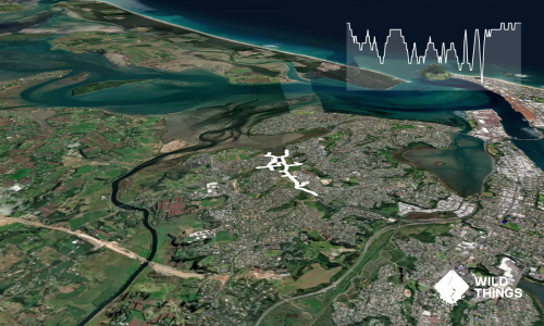
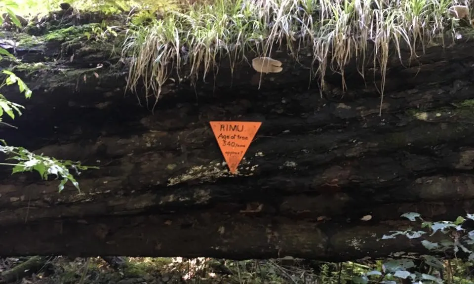
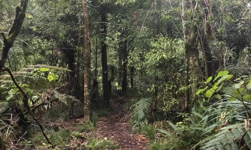
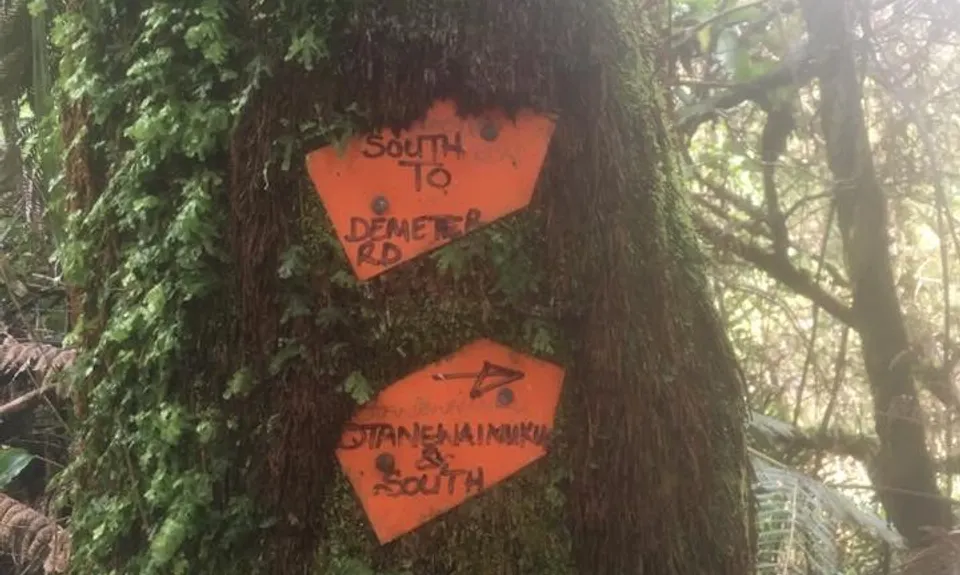
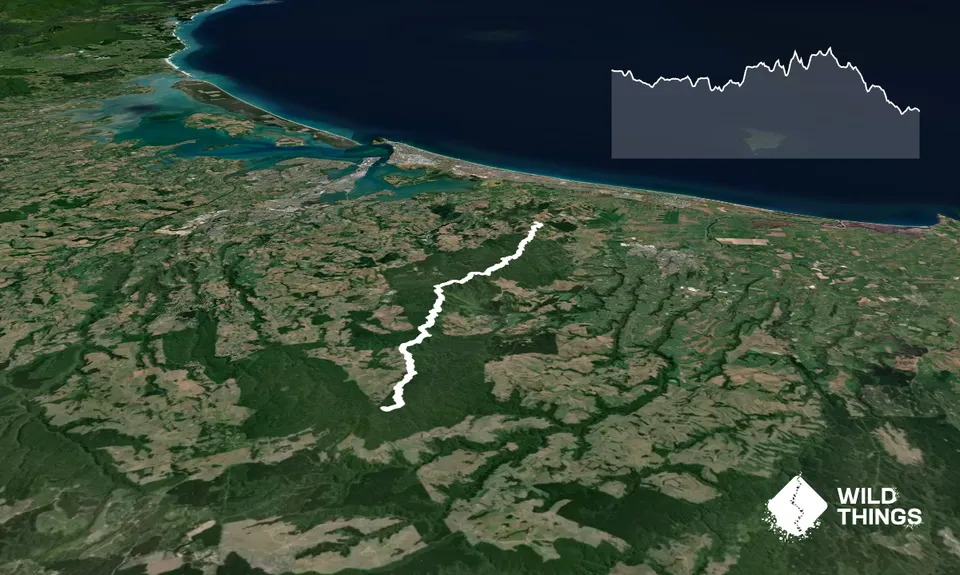
Otanewainuku to Otawa
Last Updated: 1st Jun 2026
Open
Grunt Factor: 40 ?
Gnarl Factor: 41 ?
22.0km
820m
1040m
562m
Trail Map
This Topo layer only covers NSW/ACT.
Switch to another map layer when viewing outside this area.
Switch to another map layer when viewing outside this area.