Last Updated: 6th Mar 2025
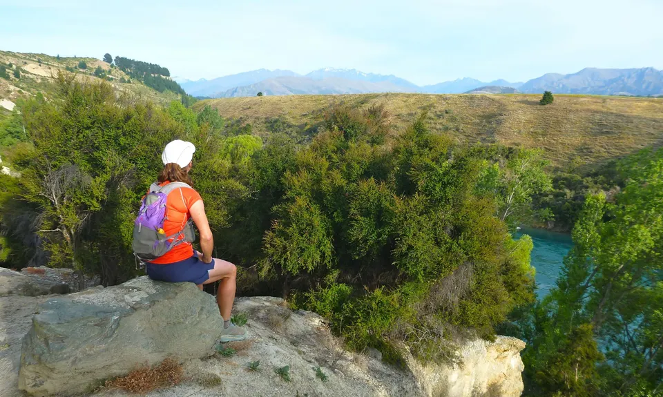
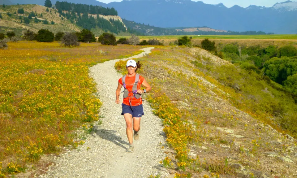
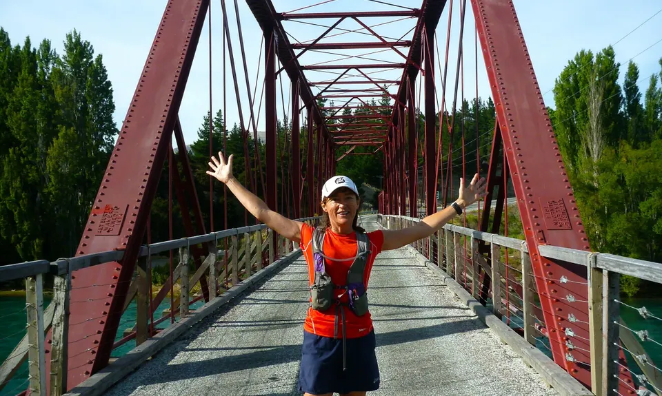
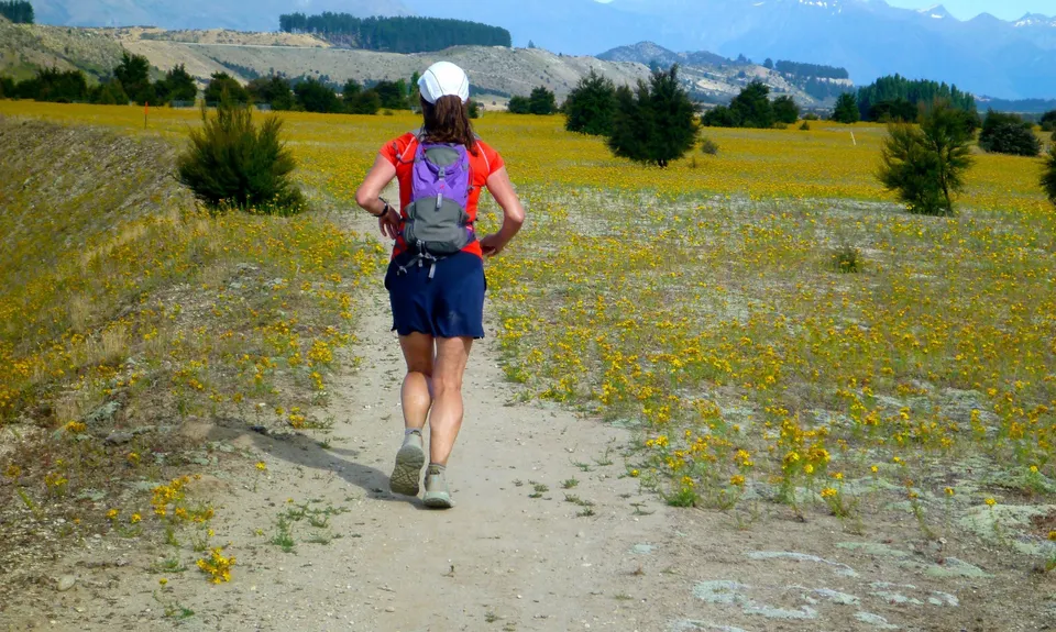
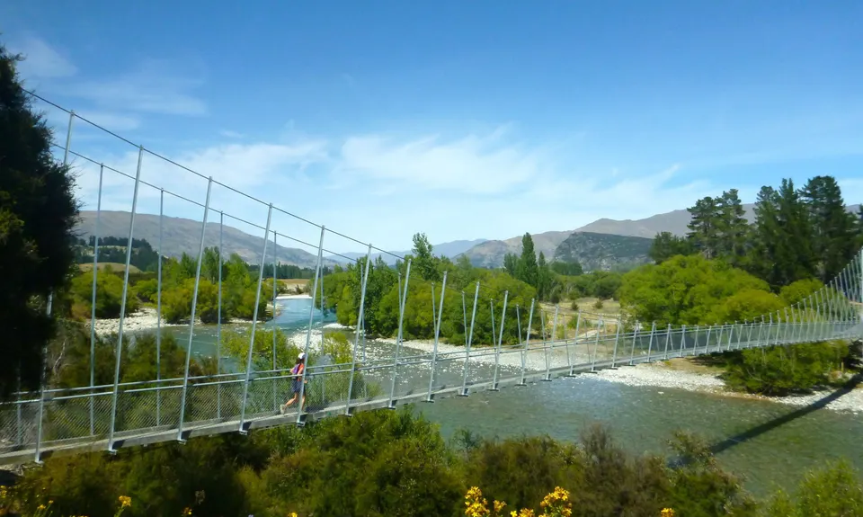
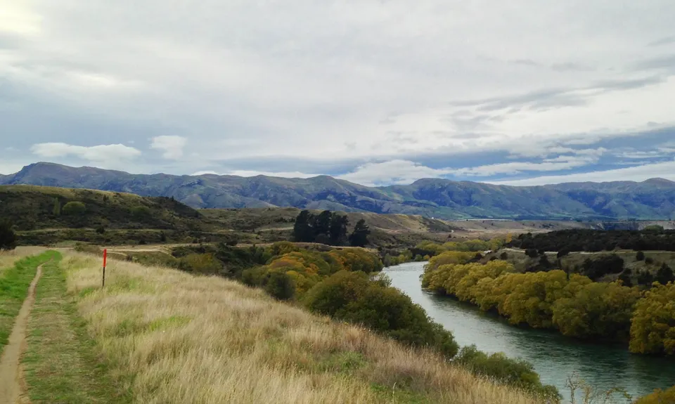
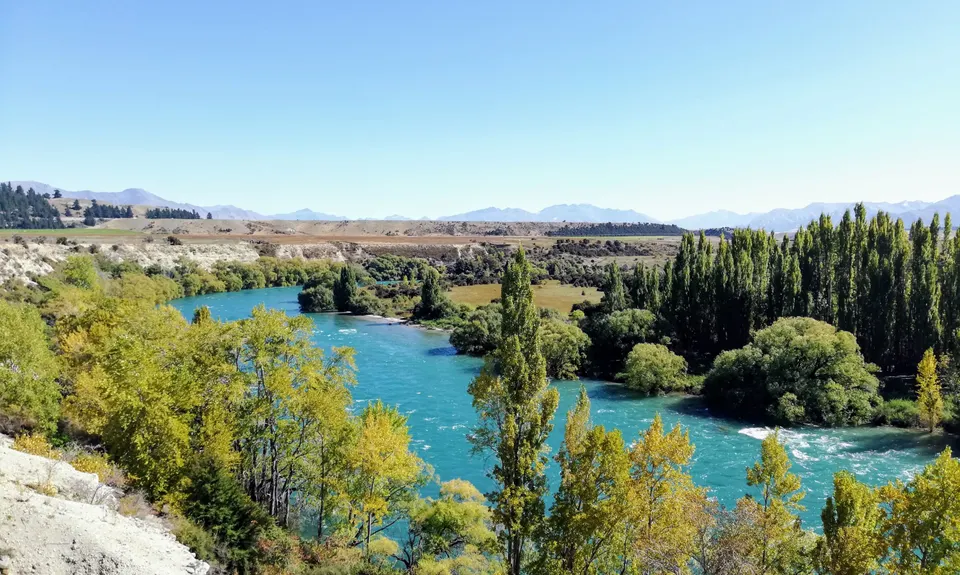
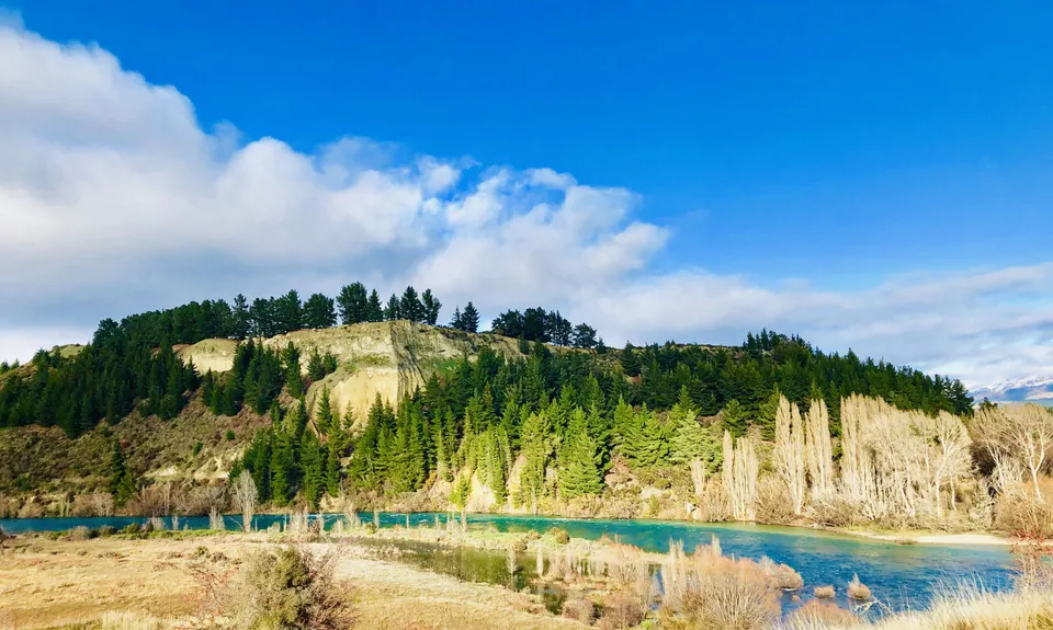
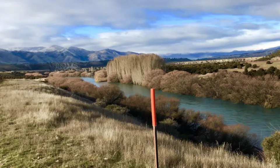
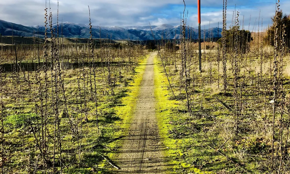
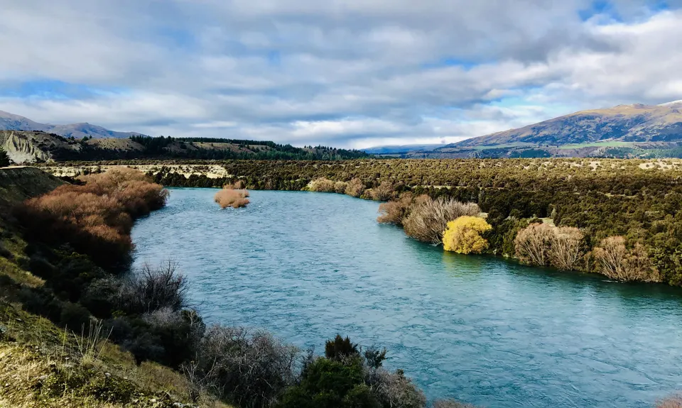
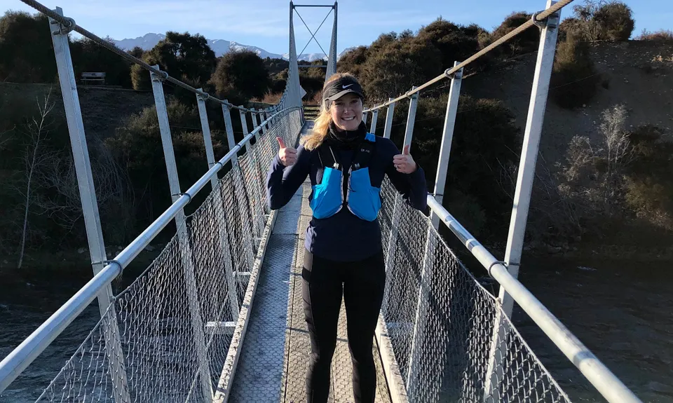
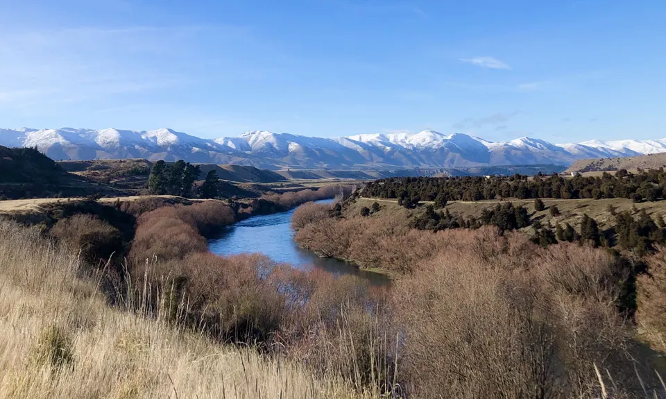
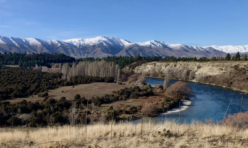
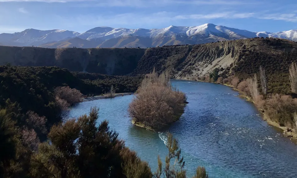
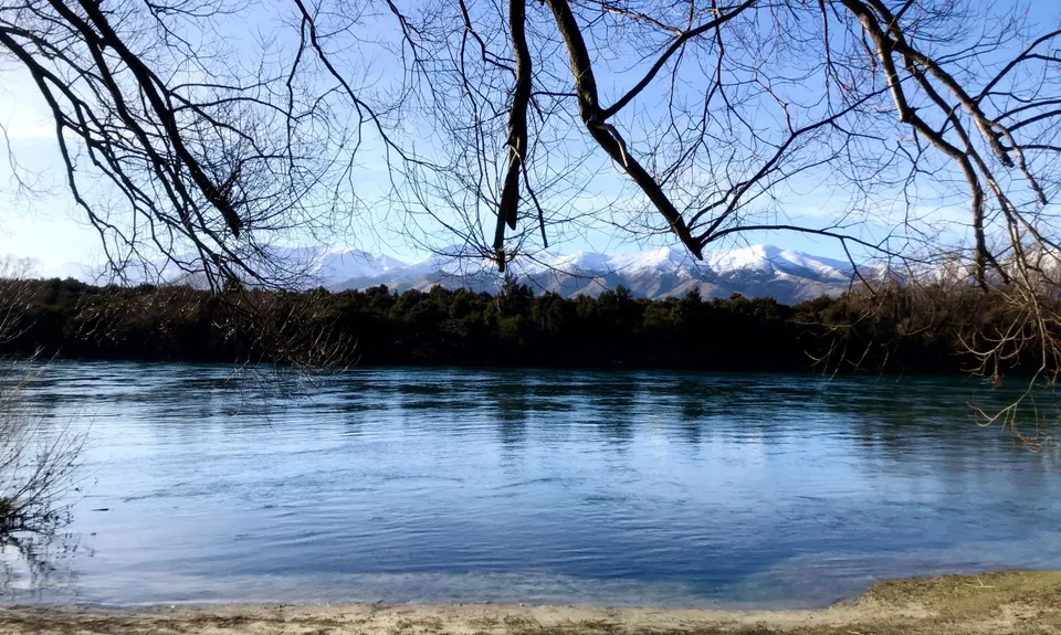
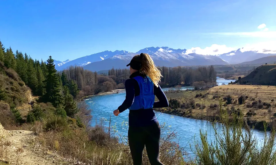
Upper Clutha River Loop
Last Updated: 6th Mar 2025
Open
Grunt Factor: 24 ?
Gnarl Factor: 11 ?
29.5km
215m
215m
330m


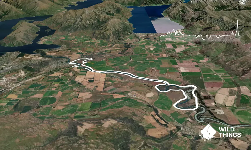
Trail Map
This Topo layer only covers NSW/ACT.
Switch to another map layer when viewing outside this area.
Switch to another map layer when viewing outside this area.