Last Updated: 21st Sep 2023
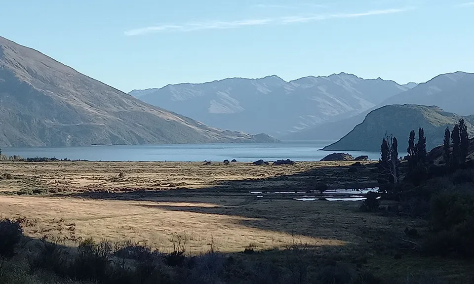
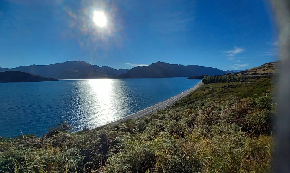
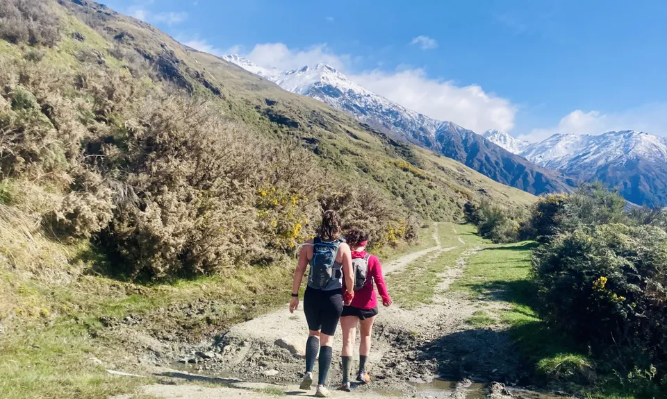
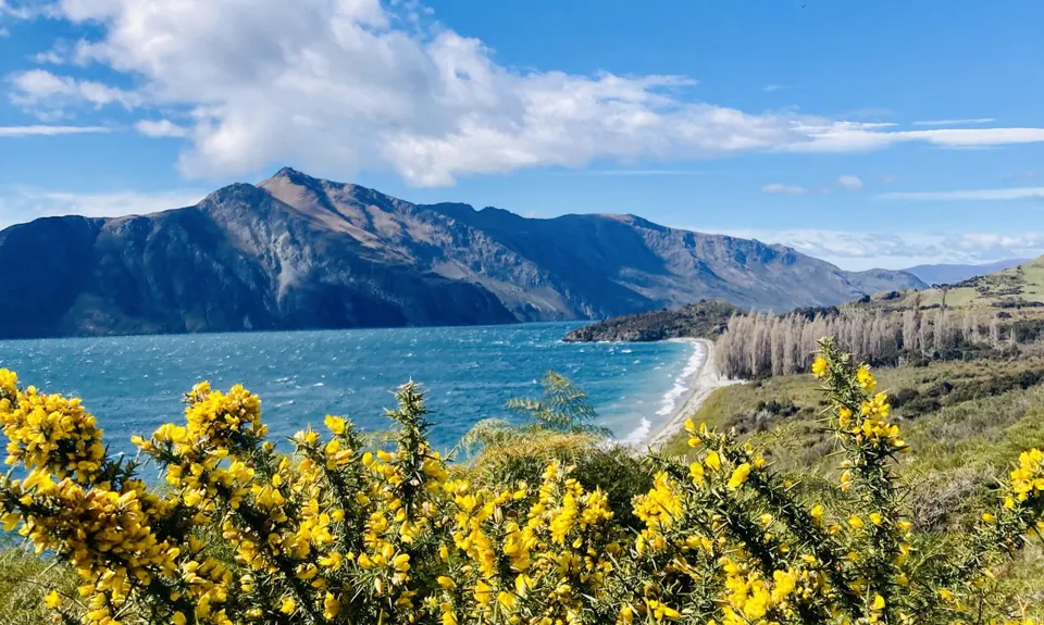
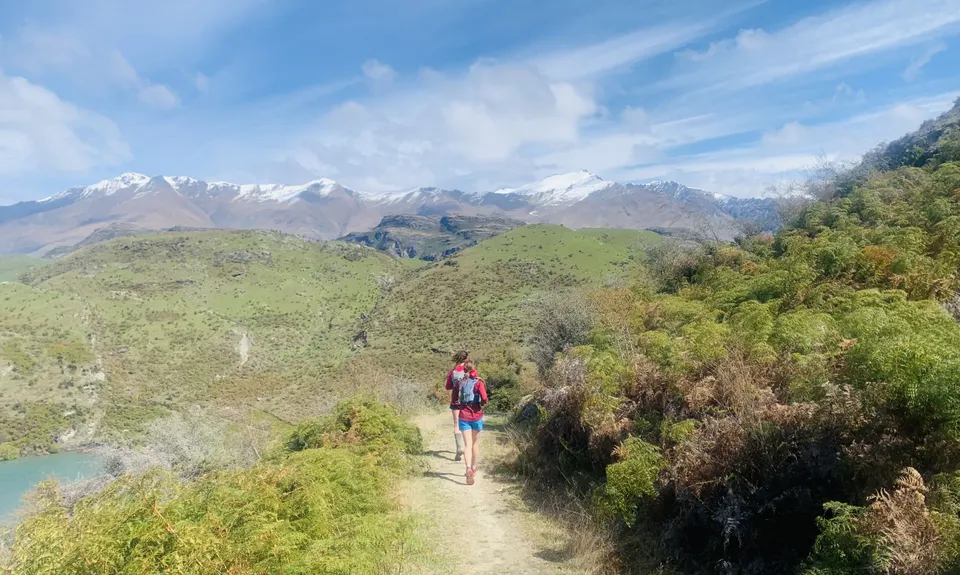
Minaret Burn Track (short)
Last Updated: 21st Sep 2023
Open
Grunt Factor: 20 ?
Gnarl Factor: 9 ?
19.8km
450m
450m
380m
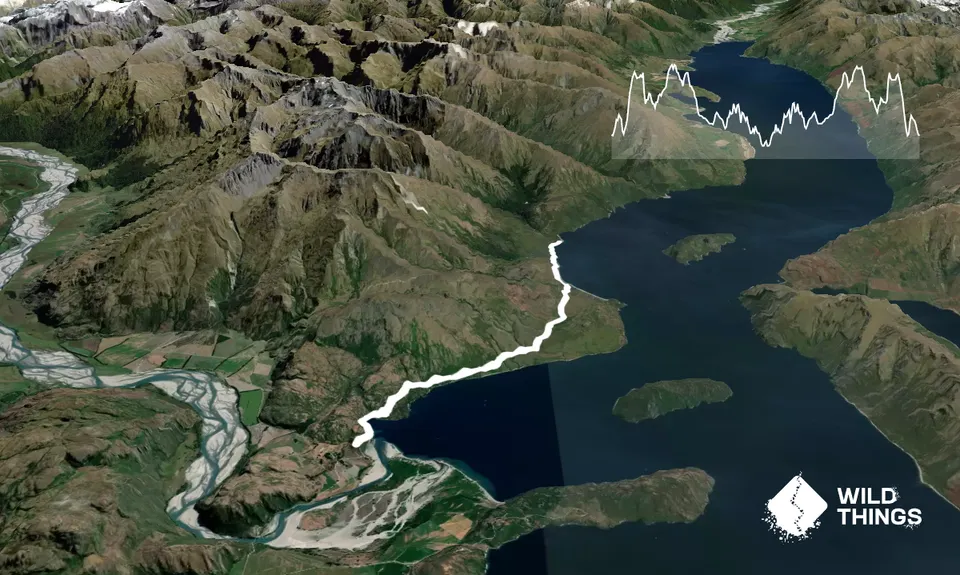
Trail Map
This Topo layer only covers NSW/ACT.
Switch to another map layer when viewing outside this area.
Switch to another map layer when viewing outside this area.


