Last Updated: 22nd Feb 2025
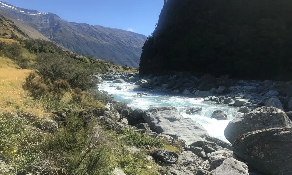
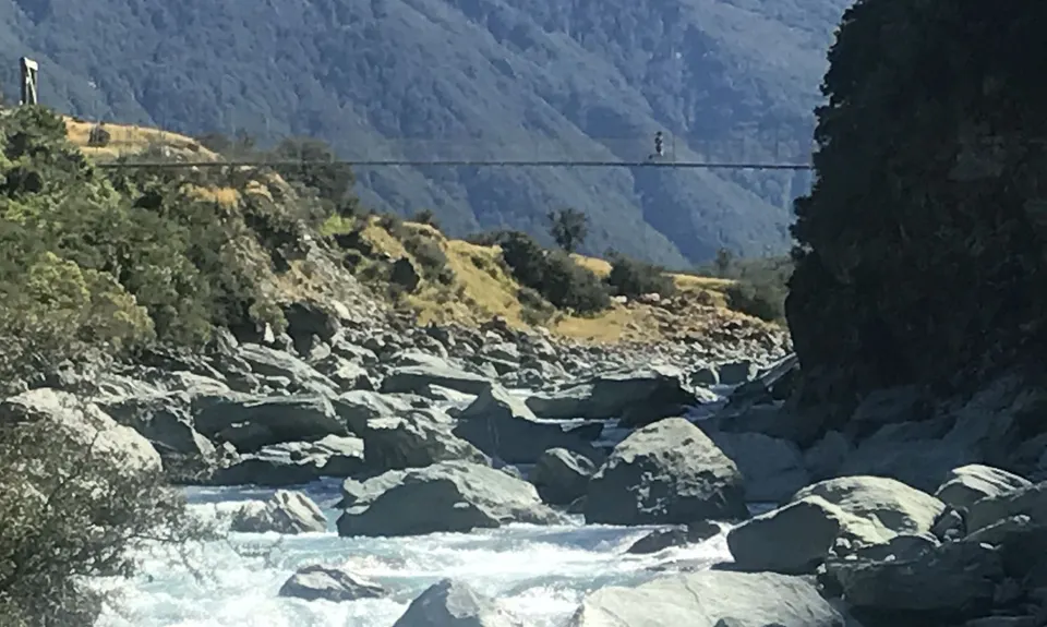
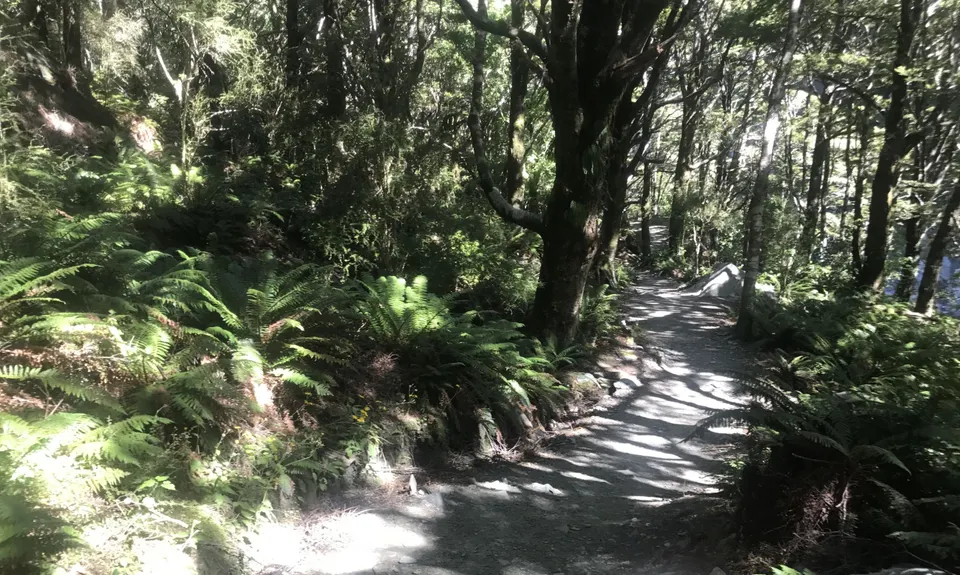
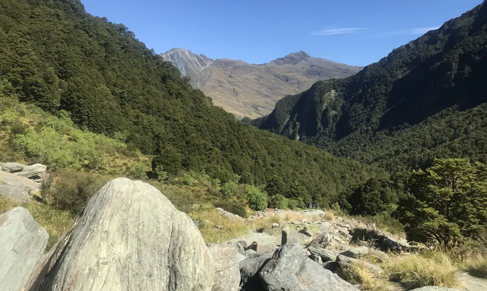
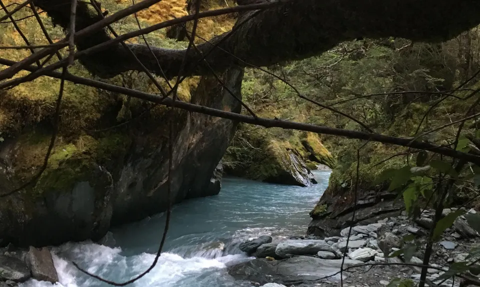
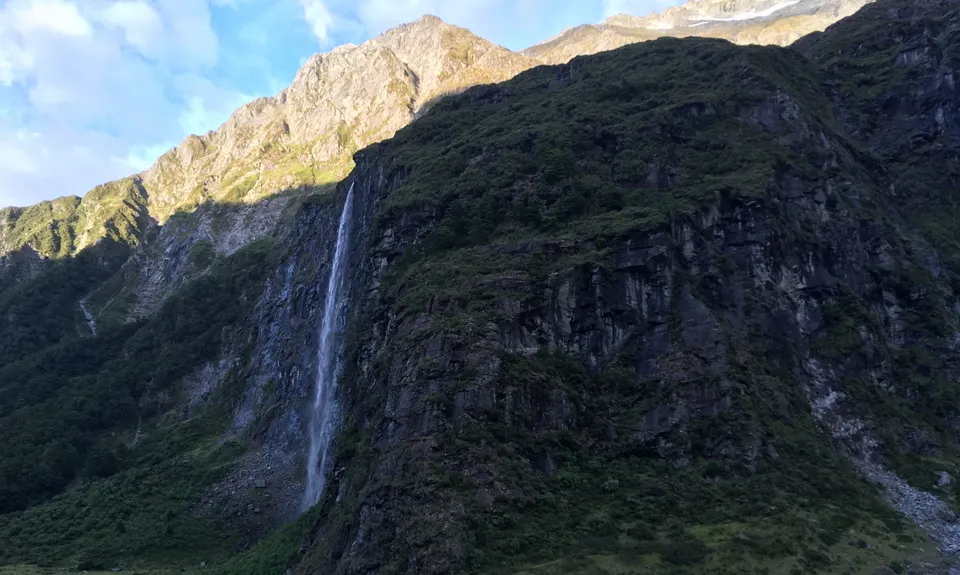
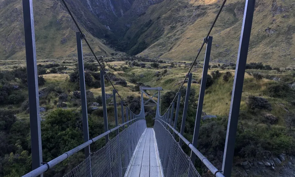
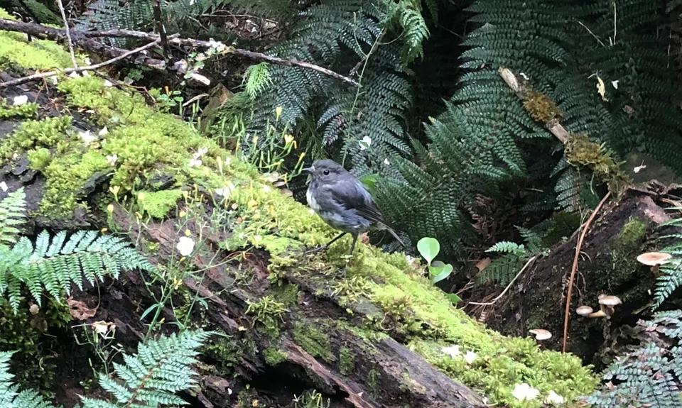
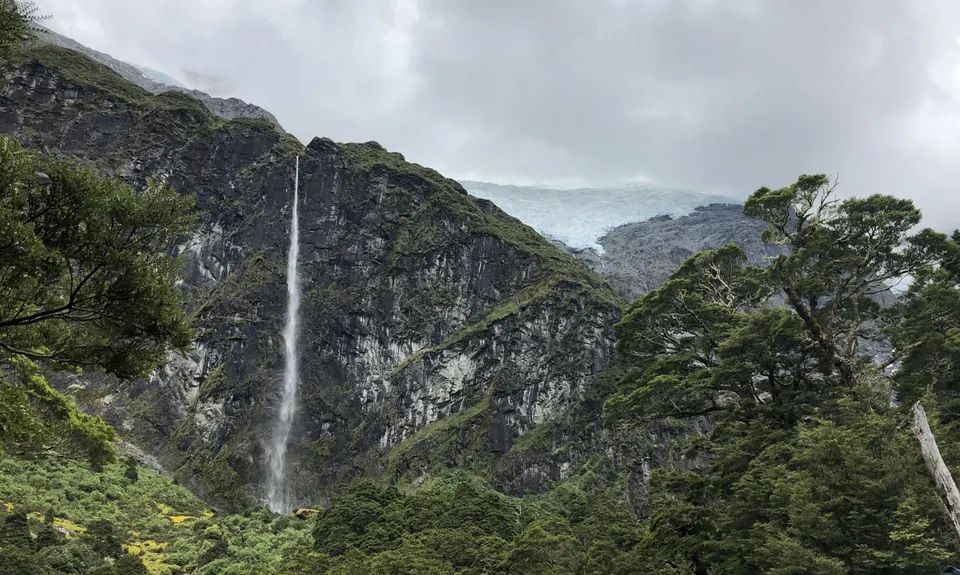
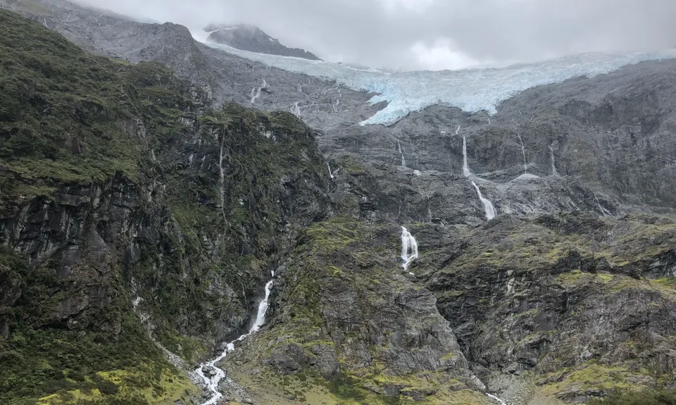
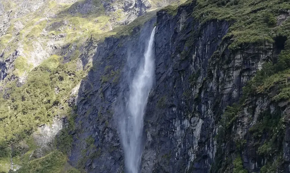
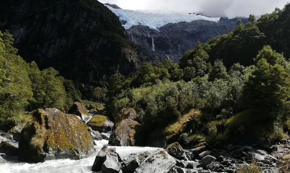
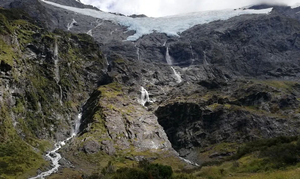
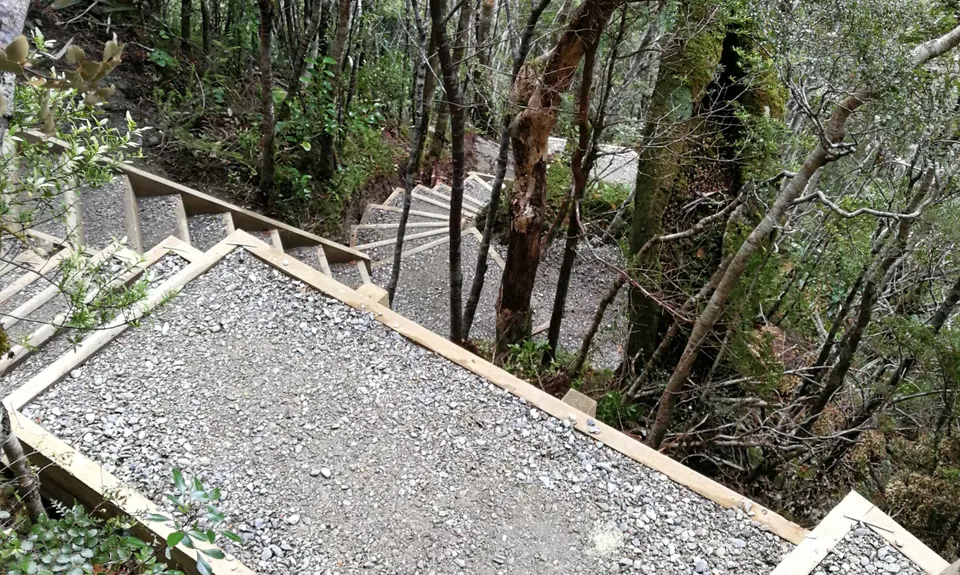
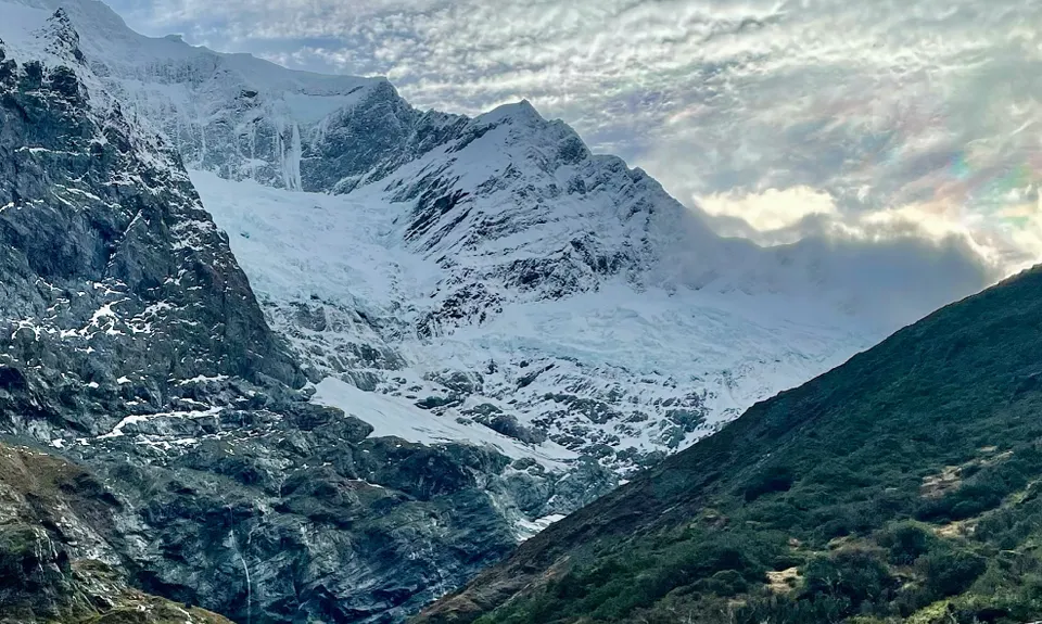
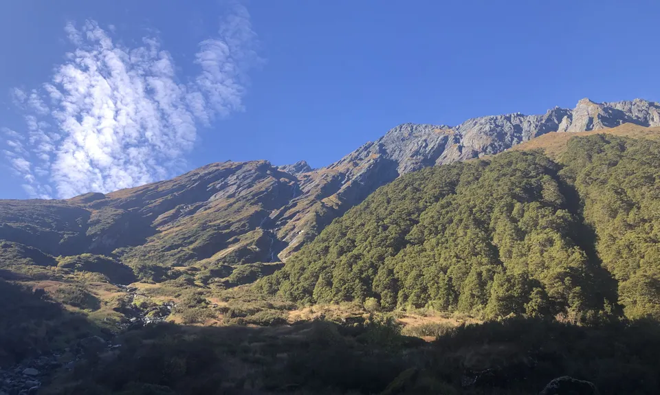
Rob Roy Glacier Track
Last Updated: 22nd Feb 2025
Open
Grunt Factor: 17 ?
Gnarl Factor: 27 ?
11.5km
475m
475m
750m
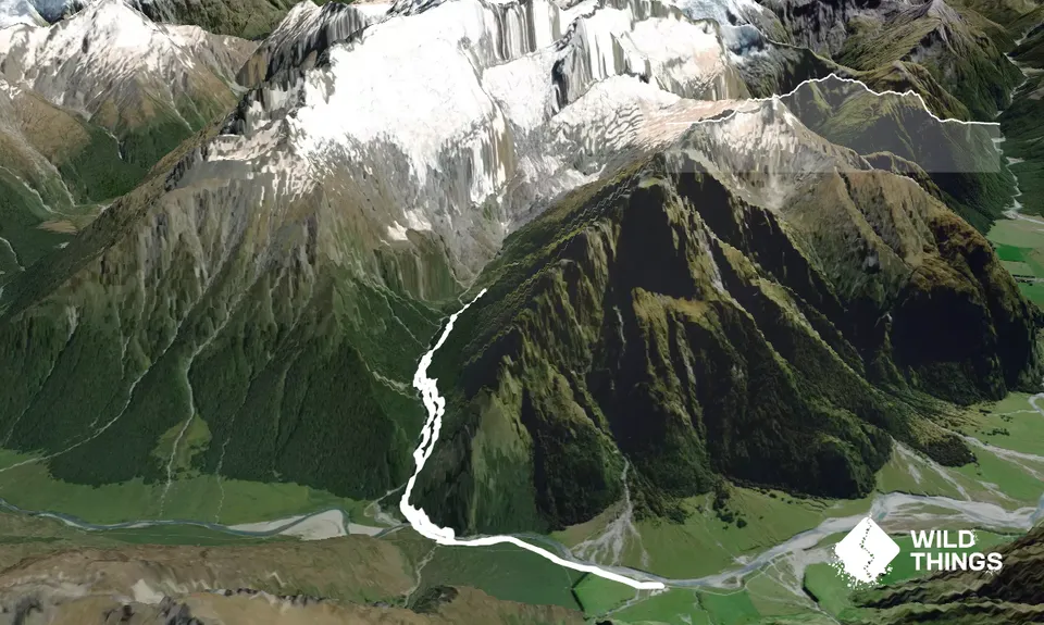
Trail Map
This Topo layer only covers NSW/ACT.
Switch to another map layer when viewing outside this area.
Switch to another map layer when viewing outside this area.


