High on HikuwaiBeginner
Submitted by Malcolm Law
Beginner
1:20 (Slow)
1:00 (Moderate)
0:40 (Fast)
-4.0%
+3.3%
Fastest Known Times (FKTs)
Please set your gender to see your position on the FKT leaderboards.
The more , the harder the FKT will be to beat. Learn about Fastest Known Times.
Description
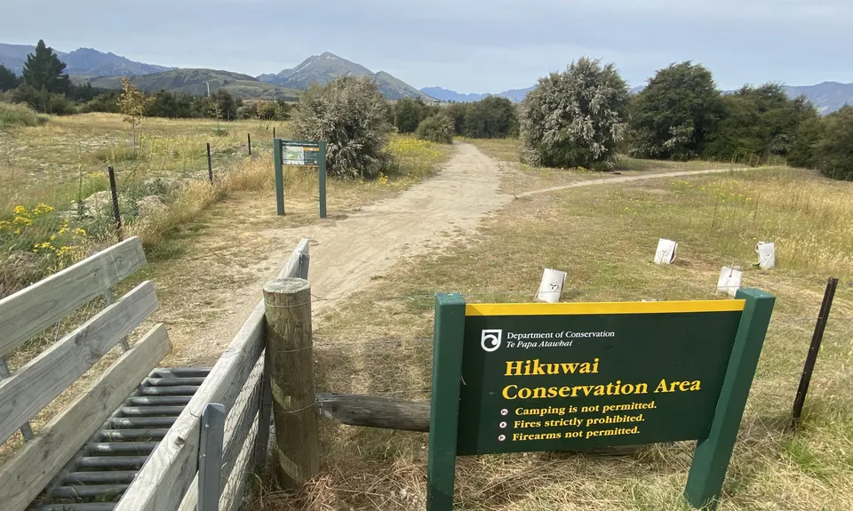
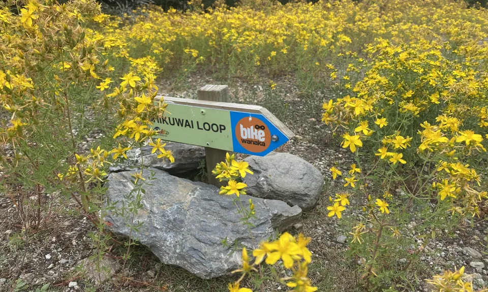
This is a MTB trail developed by the good people at Bike Wanaka. It is clearly marked with 'Hikuwai Loop' signs at all key junctions:
These signs will only be visible if you run the route in a clockwise direction, which is also the safest way to do it given the MTB traffic.
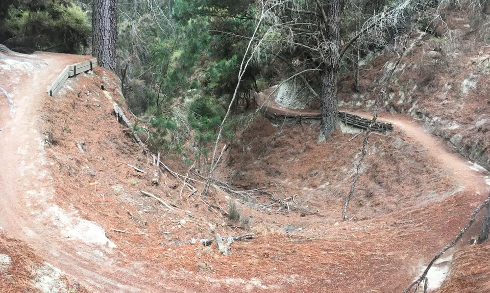
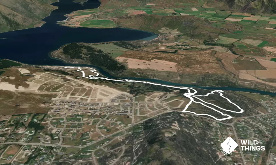
The only part of the loop that might provide you with any navigational challenges is the section through the Outlet Campground. You enter this about 2.5k into the run. When you first hit the campground gravel road bear left for about 20m and then take the Mt Barker Track (also signposted with a smaller Hikuwai Loop sign). Just 50m further on turn left again on to the Mt Alta Track (which has another smaller Hikuwai Loop sign) and follow the campground road parallel to the river. About 100m further along (just after camp spot no. 64 & opposite camp spot no. 65 the trail bears off to the right and becomes single track again. Once more there is a Hikuwai Loop sign to show you the way. A short section of trail takes you downhill towards the river and emerges just short of the Outlet 4WD road. Here you turn right almost 180 degrees and head back uphill into mixed kanuka/pine, following the now familiar Hikuwai Loop signs.
The rest of the run is just a case of following the signs.... should be easy peasy!
Trail Community
Features of interest
Lovely regenerating kanuka bush; glimpses of lake, mountains and river
Make Up of Run
Moderate Single Track: 5%
Easy Single Track: 90%
Farm Road / 4WD Track: 5%
Route Data
Reviews:
Photos:
Your Trail Wishlist
All the runs that are on your To Do list (no limit).
Add to wishlist view wishlistWild Explorers
I did it!-
Access
On Aubrey Road, a few hundred metres before the Gunn Rd roundabout if travelling towards Albert Town from Wanaka.
The trail starts on the left of the road (opposite side to Mt Iron) - there's a small cattle grid and an information board.Parking is at the side of the road - room for 4 or 5 vehicles. Safe, but keep valuables out of sight just in case
4 km
5 minutes
Yes
No
-
Staying Safe
Easy.
Just follow the "Hikuwai Loop' MTB signs that are mostly at ground level
Generally good.
Short-sleeved thermal top, Windproof jacket, First aid kit, Cellphone.
No water on the route - bring your own
Can be a bit muddy after heavy rain and icy in winter
This is a MTB track - run it only in the prescribed clockwise direction, be alert for MTB'ers and give way if you meet any.
-
Sponsor this trail
See other runs nearby:
Motatapu River Track
Ironside Hill
Rock Peak Track
Deans Bank Loop
Minaret Burn Track (short)
Wanaka Skyline Trail
Fern Burn Hut
Rocky Diamond
Upper Clutha River Loop
Rob Roy Glacier Track
Motatapu Track - Full Monty
Wanaka LRMI (Lake, River, Mt. Iron)
Rock of Ages
Run Rabbit Run
Roy's Peak
Isthmus Peak
Luggate to Albert Town
Cardrona to Meg Hut
Jack Hall's Saddle
Little Criffel from the Larches
Mt Iron Loop
Liverpool Hut
Boundary Creek Track
Long Gully Loop
Hawea River Track
French Ridge hut
Little Criffle A to B
Lindis Peak Track
Mt Pisa via Kirtle Burn Track
Butterfields Wetlands Loop
Matukituki Cascade Saddle Dart Epic