Last Updated: 21st Sep 2023
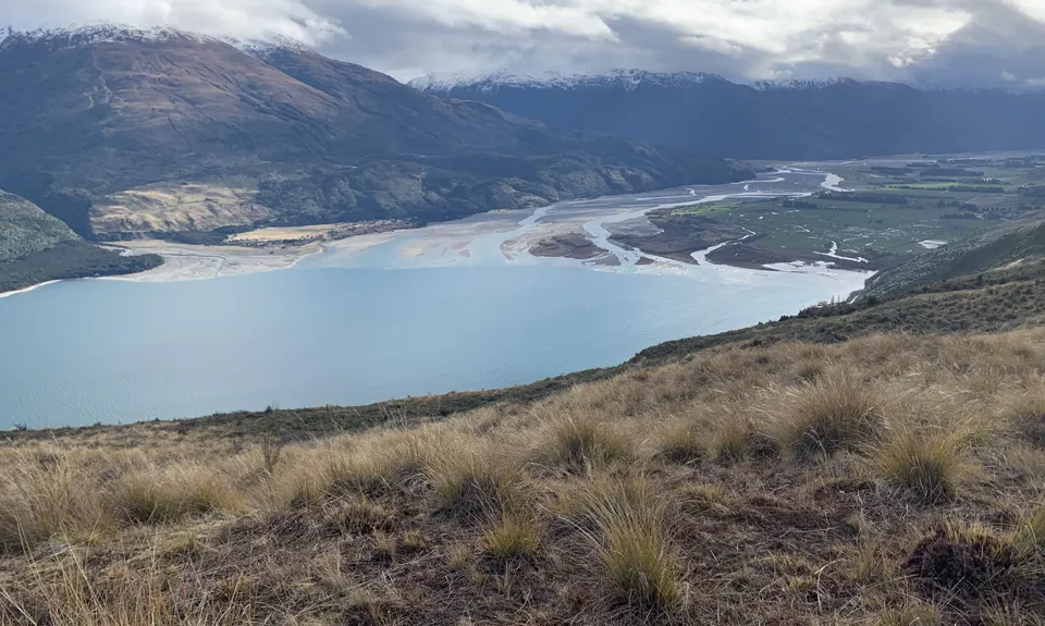
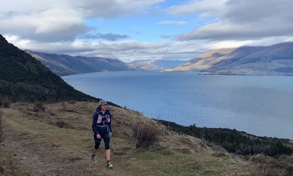
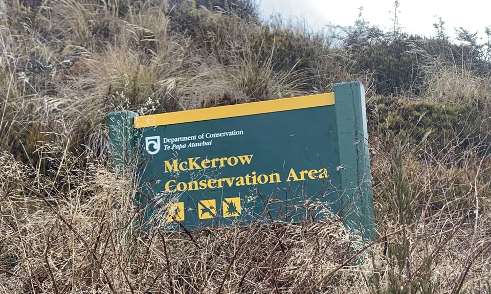
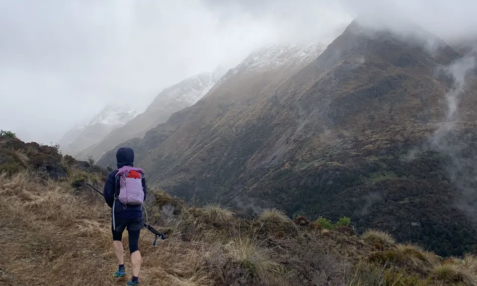
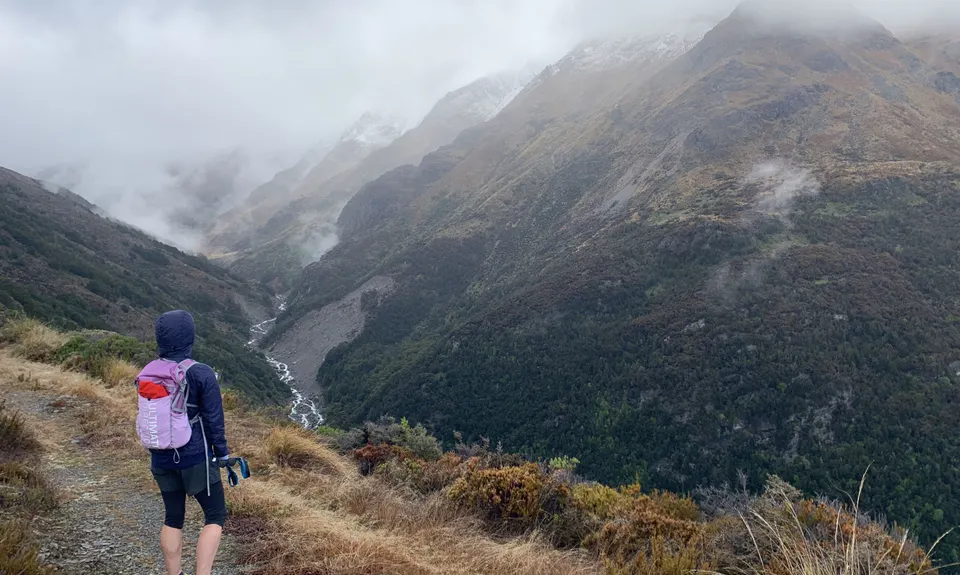
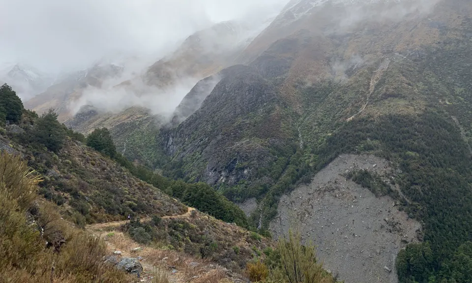
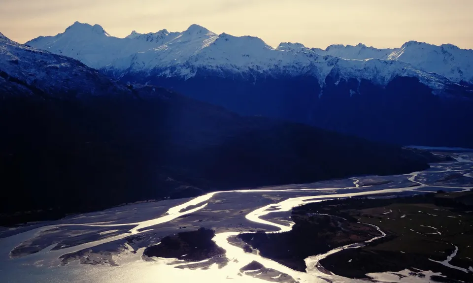
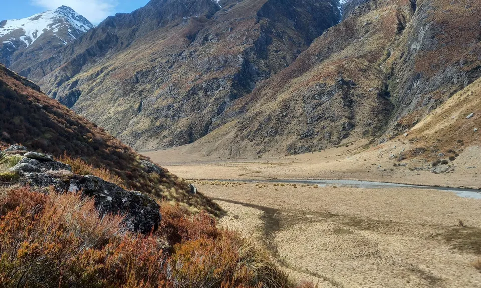
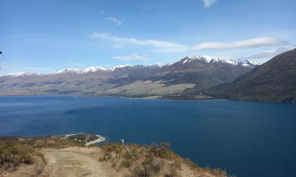
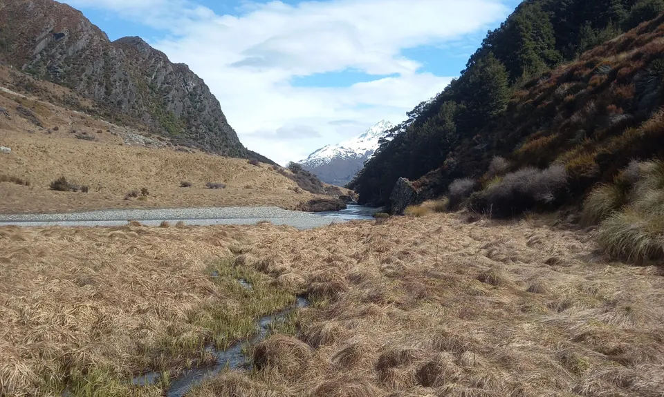
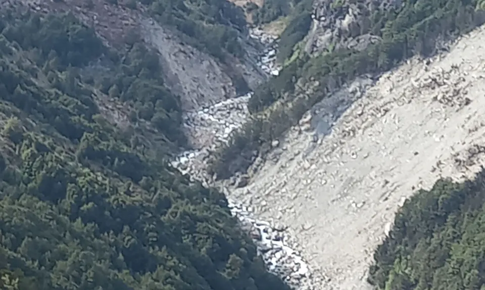
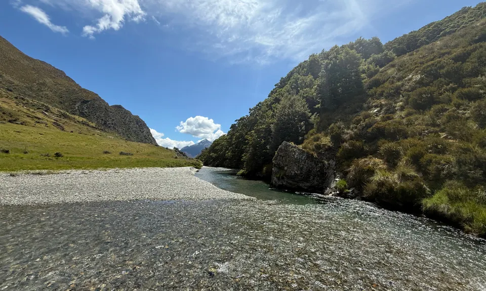
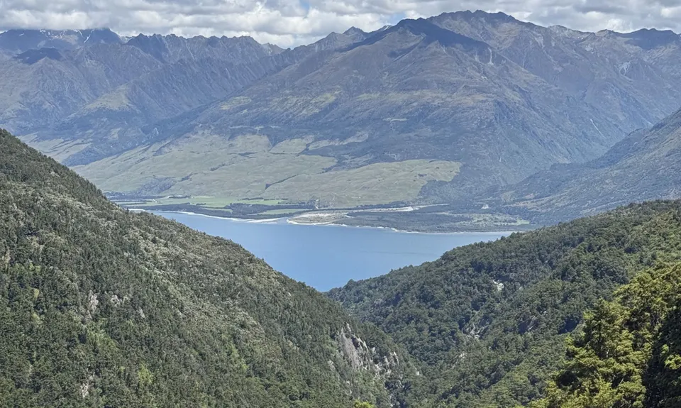
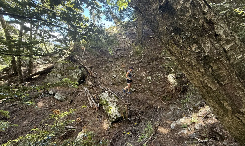
Boundary Creek Track
Last Updated: 21st Sep 2023
Open
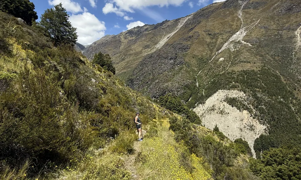
Grunt Factor: 23 ?
Gnarl Factor: 26 ?
14.2km
880m
880m
865m
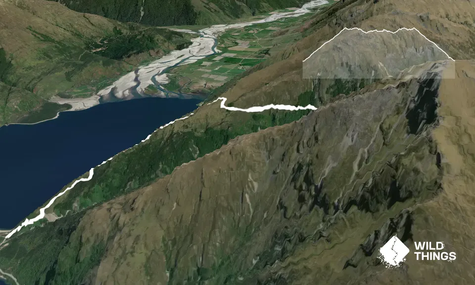
Trail Map
This Topo layer only covers NSW/ACT.
Switch to another map layer when viewing outside this area.
Switch to another map layer when viewing outside this area.


